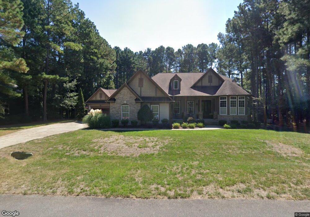
1036 White Fir Dr Wake Forest, NC 27587
Estimated Value: $711,000 - $961,000
3
Beds
4
Baths
3,378
Sq Ft
$247/Sq Ft
Est. Value
About This Home
This home is located at 1036 White Fir Dr, Wake Forest, NC 27587 and is currently estimated at $835,209, approximately $247 per square foot. 1036 White Fir Dr is a home located in Wake County with nearby schools including Rolesville Elementary School, Rolesville Middle School, and Rolesville High School.
Ownership History
Date
Name
Owned For
Owner Type
Purchase Details
Closed on
Nov 10, 2008
Sold by
The Drees Company
Bought by
Faber Nicholas J and Faber Betty Lou
Current Estimated Value
Home Financials for this Owner
Home Financials are based on the most recent Mortgage that was taken out on this home.
Original Mortgage
$160,000
Outstanding Balance
$105,183
Interest Rate
6.11%
Mortgage Type
Purchase Money Mortgage
Estimated Equity
$730,026
Create a Home Valuation Report for This Property
The Home Valuation Report is an in-depth analysis detailing your home's value as well as a comparison with similar homes in the area
Home Values in the Area
Average Home Value in this Area
Purchase History
| Date | Buyer | Sale Price | Title Company |
|---|---|---|---|
| Faber Nicholas J | $469,500 | None Available |
Source: Public Records
Mortgage History
| Date | Status | Borrower | Loan Amount |
|---|---|---|---|
| Open | Faber Nicholas J | $160,000 |
Source: Public Records
Tax History Compared to Growth
Tax History
| Year | Tax Paid | Tax Assessment Tax Assessment Total Assessment is a certain percentage of the fair market value that is determined by local assessors to be the total taxable value of land and additions on the property. | Land | Improvement |
|---|---|---|---|---|
| 2025 | $4,421 | $688,041 | $140,000 | $548,041 |
| 2024 | $4,293 | $688,041 | $140,000 | $548,041 |
| 2023 | $3,813 | $486,435 | $80,000 | $406,435 |
| 2022 | $3,533 | $486,435 | $80,000 | $406,435 |
| 2021 | $3,438 | $486,435 | $80,000 | $406,435 |
| 2020 | $3,381 | $486,435 | $80,000 | $406,435 |
| 2019 | $3,502 | $426,363 | $86,000 | $340,363 |
| 2018 | $3,219 | $426,363 | $86,000 | $340,363 |
| 2017 | $3,051 | $426,363 | $86,000 | $340,363 |
| 2016 | $2,990 | $426,363 | $86,000 | $340,363 |
| 2015 | $3,381 | $483,899 | $96,000 | $387,899 |
| 2014 | -- | $483,899 | $96,000 | $387,899 |
Source: Public Records
Map
Nearby Homes
- 11633 Louisburg Rd
- 6509 Zebulon Rd
- 5600 Thornburg Dr
- 5728 Stuarts Ridge Rd
- 6108 Hope Farm Ln
- 6104 Hope Farm Ln Unit 2
- 6104 Hope Farm Ln
- 6428 Prescott Chase Dr
- 6733 Oscar Barham Rd
- 233 Lily Oak Dr
- 236 Lily Oak Dr
- 7001 Barham Hollow Dr
- 207 Weathers St
- 6404 Pulley Town Rd
- 1125 Dartford Green Place
- 5916 2 Pines Trail
- 721 Holstein Dairy Way
- 728 Holstein Dairy Way
- 717 Holstein Dairy Way
- 724 Holstein Dairy Way
- 1040 White Fir Dr Unit 35
- 1040 White Fir Dr
- 1032 White Fir Dr
- 5600 Pine Rock Ct
- 5508 White Fir Dr
- 5549 Creek Pine Dr
- 5604 Pine Rock Ct
- 5549 Creek Pine Dr
- 5533 Creek Pine Dr
- 5601 Pine Rock Ct
- 5548 Creek Pine Dr
- 5548 Creek Pine Dr Unit 7
- 5529 Creek Pine Dr
- 5540 Creek Pine Dr
- 5553 Creek Pine Dr
- 5544 Creek Pine Dr
- 5536 Creek Pine Dr
- 5605 Pine Rock Ct
- 5608 Pine Rock Ct
- 5508 Yew Pine Ct