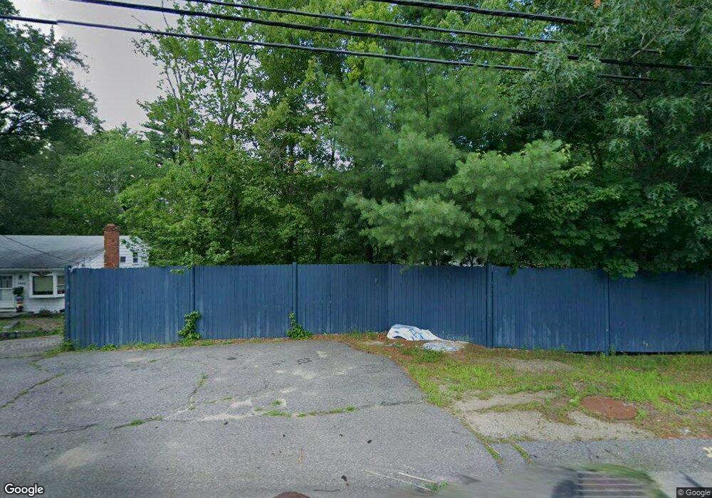
1036 Whitman St Hanson, MA 02341
Estimated Value: $436,000 - $486,563
3
Beds
2
Baths
922
Sq Ft
$503/Sq Ft
Est. Value
About This Home
This home is located at 1036 Whitman St, Hanson, MA 02341 and is currently estimated at $463,891, approximately $503 per square foot. 1036 Whitman St is a home located in Plymouth County with nearby schools including St Bridget School.
Ownership History
Date
Name
Owned For
Owner Type
Purchase Details
Closed on
Apr 5, 2021
Sold by
Mishou Lawrence K Sr Est
Bought by
Gammell Sheila A
Current Estimated Value
Home Financials for this Owner
Home Financials are based on the most recent Mortgage that was taken out on this home.
Original Mortgage
$266,076
Outstanding Balance
$239,847
Interest Rate
2.9%
Mortgage Type
FHA
Estimated Equity
$224,044
Purchase Details
Closed on
Jun 5, 2014
Sold by
Mishou Lawrence K and Mishou Margaret S
Bought by
Mishou Lawrence K
Create a Home Valuation Report for This Property
The Home Valuation Report is an in-depth analysis detailing your home's value as well as a comparison with similar homes in the area
Home Values in the Area
Average Home Value in this Area
Purchase History
| Date | Buyer | Sale Price | Title Company |
|---|---|---|---|
| Gammell Sheila A | $350,000 | None Available | |
| Mishou Lawrence K | -- | -- |
Source: Public Records
Mortgage History
| Date | Status | Borrower | Loan Amount |
|---|---|---|---|
| Open | Gammell Sheila A | $266,076 |
Source: Public Records
Tax History Compared to Growth
Tax History
| Year | Tax Paid | Tax Assessment Tax Assessment Total Assessment is a certain percentage of the fair market value that is determined by local assessors to be the total taxable value of land and additions on the property. | Land | Improvement |
|---|---|---|---|---|
| 2025 | $4,894 | $365,800 | $161,300 | $204,500 |
| 2024 | $4,439 | $331,800 | $156,600 | $175,200 |
| 2023 | $4,464 | $314,800 | $156,600 | $158,200 |
| 2022 | $4,353 | $288,500 | $142,400 | $146,100 |
| 2021 | $3,964 | $262,500 | $136,900 | $125,600 |
| 2020 | $3,912 | $256,200 | $132,300 | $123,900 |
| 2019 | $3,796 | $244,400 | $129,700 | $114,700 |
| 2018 | $3,760 | $237,500 | $124,800 | $112,700 |
| 2017 | $3,653 | $228,600 | $118,800 | $109,800 |
| 2016 | $3,684 | $222,600 | $118,800 | $103,800 |
| 2015 | $3,517 | $220,900 | $118,800 | $102,100 |
Source: Public Records
Map
Nearby Homes
- 1057 Whitman St
- 417 Birchbark Dr
- 842 Whitman St
- 131 Holly Ridge Dr
- 55 Plymouth St Unit A5
- 22 Howland Trail Unit 34
- 5 Hayford Trail Unit 11
- 7 Hayford Trail Unit 12
- 12 Hayford Trail Unit 17
- 13 Hayford Trail Unit 15
- 214 Winter St
- 35 Dana St
- 168 Spring St
- 33 Tavern Way
- 684 South Ave
- Lot 5 Princeton Way
- 23 Reed Place
- 57 Liberty St
- 248 E Washington St
- 170 Pleasant St
- 1000 Whitman St
- 1050 Whitman St
- 1017 Whitman St
- 1037 Whitman St
- 997 Whitman St
- 3 Deer Hill Rd
- 1084 Whitman St
- 1 Deer Hill Rd
- 8 Deer Hill Rd
- 1079 Whitman St
- 1092 Whitman St
- 25 Live Oak Way
- 973 Whitman St
- 7 Deer Hill Rd
- 1120 Whitman St
- 23 Live Oak Way
- 971 Whitman St
- 10 Deer Hill Rd
- 964 Whitman St
- 1102 Whitman St