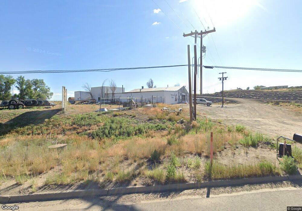
10360 Highway 491 Cortez, CO 81321
Estimated Value: $190,998
--
Bed
1
Bath
4,680
Sq Ft
$41/Sq Ft
Est. Value
About This Home
This home is located at 10360 Highway 491, Cortez, CO 81321 and is currently estimated at $190,998, approximately $40 per square foot. 10360 Highway 491 is a home located in Montezuma County with nearby schools including Montezuma-Cortez High School, Children's Kiva Montessori School, and Southwest Open Charter School.
Ownership History
Date
Name
Owned For
Owner Type
Purchase Details
Closed on
Jul 17, 2020
Sold by
Glen Penner Trust
Bought by
Webb William Christopher
Current Estimated Value
Purchase Details
Closed on
Jul 13, 2020
Sold by
Weaver Richard A
Bought by
Glen Penner Trust
Purchase Details
Closed on
Jun 22, 2000
Sold by
Hill Anthony A and Hill Alexci
Bought by
Weaver Richard A
Purchase Details
Closed on
Jun 13, 1994
Sold by
Keys Joseph W and Keys Linda L
Bought by
Hill Tony
Create a Home Valuation Report for This Property
The Home Valuation Report is an in-depth analysis detailing your home's value as well as a comparison with similar homes in the area
Home Values in the Area
Average Home Value in this Area
Purchase History
| Date | Buyer | Sale Price | Title Company |
|---|---|---|---|
| Webb William Christopher | $140,000 | None Available | |
| Glen Penner Trust | -- | None Available | |
| Weaver Richard A | $106,000 | -- | |
| Hill Tony | $45,000 | -- |
Source: Public Records
Tax History Compared to Growth
Tax History
| Year | Tax Paid | Tax Assessment Tax Assessment Total Assessment is a certain percentage of the fair market value that is determined by local assessors to be the total taxable value of land and additions on the property. | Land | Improvement |
|---|---|---|---|---|
| 2024 | $2,215 | $37,708 | $15,950 | $21,758 |
| 2023 | $2,215 | $46,408 | $15,950 | $30,458 |
| 2022 | $2,105 | $38,002 | $11,600 | $26,402 |
| 2021 | $2,081 | $38,002 | $11,600 | $26,402 |
| 2020 | $2,243 | $42,544 | $11,600 | $30,944 |
| 2019 | $2,248 | $42,544 | $11,600 | $30,944 |
| 2018 | $2,932 | $45,990 | $11,600 | $34,390 |
| 2017 | $2,917 | $45,990 | $11,600 | $34,390 |
| 2016 | $2,562 | $44,600 | $11,600 | $33,000 |
| 2015 | $2,352 | $242,980 | $0 | $0 |
| 2014 | $2,739 | $44,600 | $0 | $0 |
Source: Public Records
Map
Nearby Homes
- Tract 11 N Broadway
- TRACT 12 N Broadway
- Tract 10 Road K 3
- TBD N Hwy 491
- TBD Road 24 4 Loop
- Tract 7 Road K 3
- TRACT 13 Road K 3
- 24258 County Road K
- Tract 6 Road K 3
- 24243 Road K 8
- 24396 Road L
- Tract 8 Road K 3
- 409 N Broadway
- 210 W Coronado Ave
- Tract 5 Road K 3
- 423 N Linden St
- 54 E Empire St
- Lot 1 Road 24 3
- Tract 9 N Broadway
- Lot 2 Road 24 3
- 10360 Hwy 491
- 10360 U S 491
- 10400 Highway 491
- 510.5 N Broadway
- 510 & 510.5 N Broadway
- TBD Highway 491
- TBD Hwy 491
- 10355 Highway 491
- 10198 Highway 491
- 1531 N Lebanon Rd
- 10111 Highway 491
- 10196 Hwy 491
- 10196 Highway 491
- N Highway 491
- 10561 Highway 491
- 24825 Road M.3
- 0 Lebanon Rd Unit 728116
- 24701 Road K
- 1410 Industrial Rd
- 24701 Road K 3