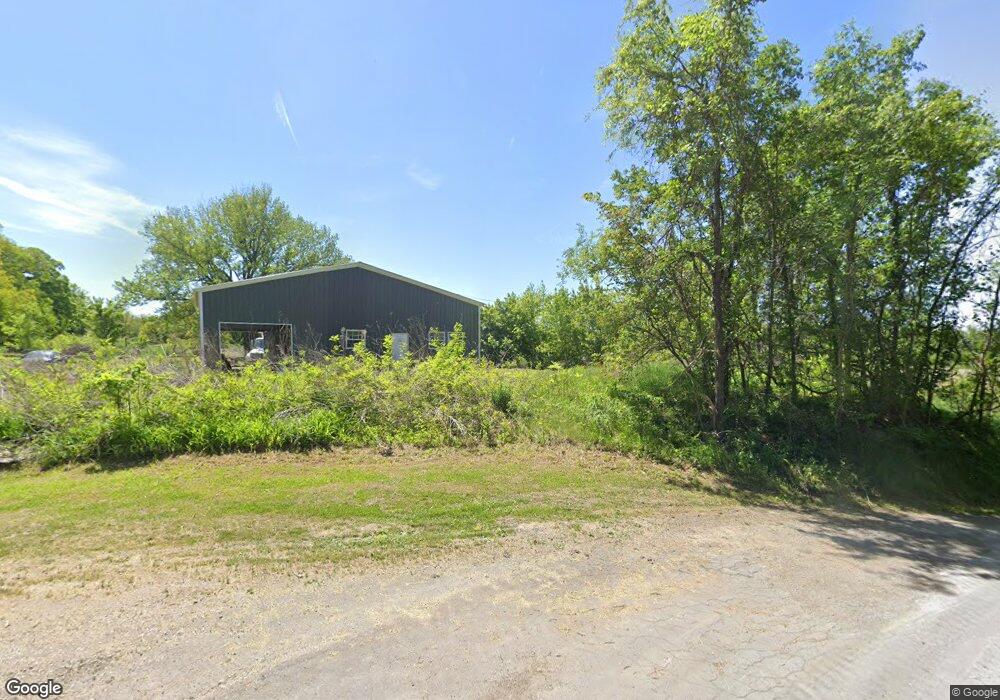
10367 SW Bluff Tract 2 Rd Saint Joseph, MO 64504
Estimated Value: $167,000
--
Bed
--
Bath
896
Sq Ft
$186/Sq Ft
Est. Value
About This Home
This home is located at 10367 SW Bluff Tract 2 Rd, Saint Joseph, MO 64504 and is currently estimated at $167,000, approximately $186 per square foot. 10367 SW Bluff Tract 2 Rd is a home located in Buchanan County with nearby schools including Hosea Elementary School, Spring Garden Middle School, and Queens College School For Math Science And Techno.
Ownership History
Date
Name
Owned For
Owner Type
Purchase Details
Closed on
Mar 28, 2024
Sold by
Crowell Randall L and Crowell Betty L
Bought by
Matthew R Lester Declaration Of Trust and Lester
Current Estimated Value
Purchase Details
Closed on
Jun 1, 2023
Sold by
Laderoute Gary L and Laderoute Nancy L
Bought by
Crowell Randall L and Crowell Betty L
Purchase Details
Closed on
Mar 27, 2012
Sold by
Thomas Dion L and Thomas Brynde J
Bought by
Laderoute Gary L and Laderoute Nancy L
Create a Home Valuation Report for This Property
The Home Valuation Report is an in-depth analysis detailing your home's value as well as a comparison with similar homes in the area
Home Values in the Area
Average Home Value in this Area
Purchase History
| Date | Buyer | Sale Price | Title Company |
|---|---|---|---|
| Matthew R Lester Declaration Of Trust | -- | First American Title Insurance | |
| Crowell Randall L | -- | First American Title | |
| Laderoute Gary L | -- | First American Title |
Source: Public Records
Tax History Compared to Growth
Tax History
| Year | Tax Paid | Tax Assessment Tax Assessment Total Assessment is a certain percentage of the fair market value that is determined by local assessors to be the total taxable value of land and additions on the property. | Land | Improvement |
|---|---|---|---|---|
| 2025 | $1 | $20 | $20 | $0 |
| 2024 | $1 | $20 | $20 | $0 |
| 2023 | $1 | $800 | $240 | $560 |
| 2022 | $94 | $1,730 | $290 | $1,440 |
| 2021 | $95 | $1,730 | $290 | $1,440 |
| 2020 | $94 | $1,730 | $290 | $1,440 |
| 2019 | $492 | $9,240 | $3,990 | $5,250 |
| 2018 | $460 | $9,760 | $3,990 | $5,770 |
| 2017 | $366 | $9,760 | $0 | $0 |
| 2015 | $4 | $7,860 | $0 | $0 |
| 2014 | $400 | $7,670 | $0 | $0 |
Source: Public Records
Map
Nearby Homes
- 0 U S 59
- SW 59 Hwy
- 10306 SW State Route Jj
- 9506 SW Punzo Rd
- 7180 SW 41st Rd
- 7027 Ollmeda St
- 1320 Elijah St
- 0 SE Sparta Rd
- 5801 Ingersoll Rd
- 6634 Sherman St
- 1006 W Cliff St
- 6802 Binswanger St
- 1605 Parkview Ave
- 3403 SW Christie Lane Rd
- 1701 Pine St
- 6507 Sherman St
- 715 W Valley St
- 6307 Sherman St
- 1402 SE Moore Rd
- 6525 King Hill Ave
- 10367 SW Bluff Tract 1 Rd
- 10367 SW Bluff Rd
- 10367 SW Bluff Rd
- 3851 SW Cottonwood Rd
- 3470 SW Lane Rd
- 0 SW Bluff Rd
- 3339 SW Lane Rd
- 10046 SW Bluff Rd
- 3741 SW Lane Rd
- 3333 SW Lane Rd
- 3921 SW Lane Rd
- 3780 SW Lane Rd
- 10647 SW Bluff Rd
- 3291 SW Lane Rd
- 10661 SW Bluff Rd
- 3975 SW Lane Rd
- 10665 SW Bluff Rd
- 3979 SW Lane Rd
- 10751 SW Bluff Rd
- 3260 SW Lane Rd