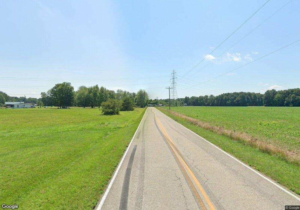
10367 W Fork Rd Georgetown, OH 45121
Estimated Value: $256,215 - $346,000
3
Beds
3
Baths
1,995
Sq Ft
$146/Sq Ft
Est. Value
About This Home
This home is located at 10367 W Fork Rd, Georgetown, OH 45121 and is currently estimated at $290,304, approximately $145 per square foot. 10367 W Fork Rd is a home located in Brown County with nearby schools including Georgetown Elementary School and Georgetown Jr/Sr High School.
Ownership History
Date
Name
Owned For
Owner Type
Purchase Details
Closed on
Aug 12, 2020
Sold by
Dehass William U and Dehass Leigh Ann
Bought by
Kistler Emily Lauren and Dillinger Justin Oliver
Current Estimated Value
Home Financials for this Owner
Home Financials are based on the most recent Mortgage that was taken out on this home.
Original Mortgage
$152,000
Outstanding Balance
$134,583
Interest Rate
2.9%
Mortgage Type
New Conventional
Estimated Equity
$155,721
Purchase Details
Closed on
Oct 26, 2016
Sold by
Gray Nicholas L and Gray Amy
Bought by
Dehass William U and Dehass Leigh Ann
Home Financials for this Owner
Home Financials are based on the most recent Mortgage that was taken out on this home.
Original Mortgage
$147,390
Interest Rate
3.48%
Mortgage Type
New Conventional
Purchase Details
Closed on
Dec 1, 2011
Sold by
Fannie Mae
Bought by
Gray Nicholas L
Home Financials for this Owner
Home Financials are based on the most recent Mortgage that was taken out on this home.
Original Mortgage
$82,739
Interest Rate
4.4%
Mortgage Type
FHA
Purchase Details
Closed on
Jan 10, 2011
Sold by
Jones Shaun Patrick and Jones Sarah M
Bought by
Federal National Mortgage Association
Purchase Details
Closed on
Sep 19, 2006
Sold by
Washington Mutual Bank
Bought by
Jones Shaun Patrick and Jones Sarah M
Home Financials for this Owner
Home Financials are based on the most recent Mortgage that was taken out on this home.
Original Mortgage
$127,000
Interest Rate
6.5%
Mortgage Type
Unknown
Purchase Details
Closed on
Aug 24, 2006
Sold by
Fowler Rick and Fowler Carissa
Bought by
Washington Mutual Bank
Home Financials for this Owner
Home Financials are based on the most recent Mortgage that was taken out on this home.
Original Mortgage
$127,000
Interest Rate
6.5%
Mortgage Type
Unknown
Purchase Details
Closed on
Feb 8, 2002
Sold by
Powell Daniel
Bought by
Fowler Rick and Fowler Carissa
Home Financials for this Owner
Home Financials are based on the most recent Mortgage that was taken out on this home.
Original Mortgage
$129,030
Interest Rate
7.24%
Mortgage Type
New Conventional
Create a Home Valuation Report for This Property
The Home Valuation Report is an in-depth analysis detailing your home's value as well as a comparison with similar homes in the area
Home Values in the Area
Average Home Value in this Area
Purchase History
| Date | Buyer | Sale Price | Title Company |
|---|---|---|---|
| Kistler Emily Lauren | $190,000 | Mattingly Ford Ttl Svcs Llc | |
| Dehass William U | $173,400 | None Available | |
| Gray Nicholas L | $84,900 | None Available | |
| Federal National Mortgage Association | $107,600 | None Available | |
| Jones Shaun Patrick | $127,000 | Resource Title Agency Inc | |
| Washington Mutual Bank | $140,595 | None Available | |
| Fowler Rick | $126,500 | -- |
Source: Public Records
Mortgage History
| Date | Status | Borrower | Loan Amount |
|---|---|---|---|
| Open | Kistler Emily Lauren | $152,000 | |
| Previous Owner | Dehass William U | $147,390 | |
| Previous Owner | Gray Nicholas L | $82,739 | |
| Previous Owner | Jones Shaun Patrick | $127,000 | |
| Previous Owner | Fowler Rick | $129,030 |
Source: Public Records
Tax History Compared to Growth
Tax History
| Year | Tax Paid | Tax Assessment Tax Assessment Total Assessment is a certain percentage of the fair market value that is determined by local assessors to be the total taxable value of land and additions on the property. | Land | Improvement |
|---|---|---|---|---|
| 2024 | $2,014 | $61,570 | $6,640 | $54,930 |
| 2023 | $2,014 | $50,910 | $5,920 | $44,990 |
| 2022 | $1,734 | $50,910 | $5,920 | $44,990 |
| 2021 | $1,716 | $50,910 | $5,920 | $44,990 |
| 2020 | $1,585 | $44,270 | $5,150 | $39,120 |
| 2019 | $1,572 | $44,270 | $5,150 | $39,120 |
| 2018 | $1,560 | $44,270 | $5,150 | $39,120 |
| 2017 | $1,397 | $41,300 | $5,660 | $35,640 |
| 2016 | $1,396 | $41,300 | $5,660 | $35,640 |
| 2015 | $1,415 | $41,300 | $5,660 | $35,640 |
| 2014 | $1,461 | $40,790 | $5,150 | $35,640 |
| 2013 | $1,457 | $40,790 | $5,150 | $35,640 |
Source: Public Records
Map
Nearby Homes
- 9705 W Fork Rd
- 10898 Parker Lane Rd
- 0 Purdy Rd Unit 1857729
- 6983 Yockey Rd
- 30 Straight Dr
- 5781 Camp Run Rd
- 7144 Ashridge Arnheim Rd
- AC Stony Hollow Rd
- 1655 Waynoka Dr
- 9606 Honey Run Rd
- 143 Hamer Rd
- 106 Sequoia Dr
- 14 Hammerhead Cove
- 18 Hammerhead Cove
- 11698 Hamer Rd
- 76 Navajo Dr
- 314 Waynoka Dr
- 88 Navajo Dr
- 10 Chippewa Cove
- 7666 Ashridge Arnheim Rd
- 10360 W Fork Rd
- 10359 W Fork Rd
- 10341 W Fork Rd
- 10321 W Fork Rd
- 10433 W Fork Rd
- 10317 W Fork Rd
- 5.51ac Westfork Rd
- 6.490Ac Westfork Rd
- 10305 W Fork Rd
- 5836 Seip Rd
- 10289 W Fork Rd
- 10282 W Fork Rd
- 10469 W Fork Rd
- 5802 Seip Rd
- 10287 W Fork Rd
- 10480 W Fork Rd
- 5766 Seip Rd
- 5781 Seip Rd
- 10269 W Fork Rd
- 10252 W Fork Rd
