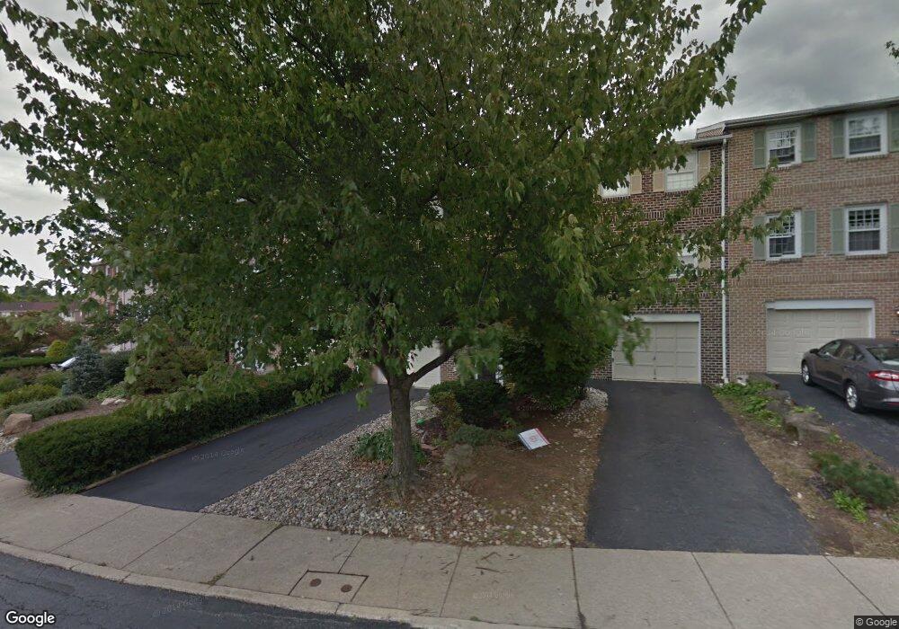
1037 Barnside Rd Allentown, PA 18103
Estimated Value: $338,474 - $364,000
3
Beds
3
Baths
1,932
Sq Ft
$180/Sq Ft
Est. Value
About This Home
This home is located at 1037 Barnside Rd, Allentown, PA 18103 and is currently estimated at $347,369, approximately $179 per square foot. 1037 Barnside Rd is a home located in Lehigh County with nearby schools including Wescosville Elementary School, Lower Macungie Middle School, and Emmaus High School.
Ownership History
Date
Name
Owned For
Owner Type
Purchase Details
Closed on
Jan 11, 2013
Sold by
Dicarlo Alfonso
Bought by
Dicarlo Alfonso and Dicarlo Elisa
Current Estimated Value
Purchase Details
Closed on
May 25, 2007
Sold by
Cao Wei
Bought by
Dicarlo Alfonso
Home Financials for this Owner
Home Financials are based on the most recent Mortgage that was taken out on this home.
Original Mortgage
$169,200
Interest Rate
6.24%
Mortgage Type
New Conventional
Purchase Details
Closed on
May 20, 2005
Sold by
Fandl Stephanie A
Bought by
Cao Wei
Home Financials for this Owner
Home Financials are based on the most recent Mortgage that was taken out on this home.
Original Mortgage
$135,920
Interest Rate
1.37%
Mortgage Type
Fannie Mae Freddie Mac
Purchase Details
Closed on
Nov 18, 2002
Sold by
Knisely Roger A
Bought by
Fandl Stephanie A
Purchase Details
Closed on
Feb 20, 1996
Bought by
Knisely Roger A
Create a Home Valuation Report for This Property
The Home Valuation Report is an in-depth analysis detailing your home's value as well as a comparison with similar homes in the area
Home Values in the Area
Average Home Value in this Area
Purchase History
| Date | Buyer | Sale Price | Title Company |
|---|---|---|---|
| Dicarlo Alfonso | -- | -- | |
| Dicarlo Alfonso | $188,000 | -- | |
| Cao Wei | $169,900 | -- | |
| Fandl Stephanie A | $133,000 | -- | |
| Knisely Roger A | $107,000 | -- |
Source: Public Records
Mortgage History
| Date | Status | Borrower | Loan Amount |
|---|---|---|---|
| Previous Owner | Dicarlo Alfonso | $169,200 | |
| Previous Owner | Cao Wei | $135,920 |
Source: Public Records
Tax History
| Year | Tax Paid | Tax Assessment Tax Assessment Total Assessment is a certain percentage of the fair market value that is determined by local assessors to be the total taxable value of land and additions on the property. | Land | Improvement |
|---|---|---|---|---|
| 2025 | $4,233 | $165,800 | $11,200 | $154,600 |
| 2024 | $4,095 | $165,800 | $11,200 | $154,600 |
| 2023 | $4,013 | $165,800 | $11,200 | $154,600 |
| 2022 | $3,918 | $165,800 | $154,600 | $11,200 |
| 2021 | $3,835 | $165,800 | $11,200 | $154,600 |
| 2020 | $3,799 | $165,800 | $11,200 | $154,600 |
| 2019 | $3,734 | $165,800 | $11,200 | $154,600 |
| 2018 | $3,685 | $165,800 | $11,200 | $154,600 |
| 2017 | $3,621 | $165,800 | $11,200 | $154,600 |
| 2016 | -- | $165,800 | $11,200 | $154,600 |
| 2015 | -- | $165,800 | $11,200 | $154,600 |
| 2014 | -- | $165,800 | $11,200 | $154,600 |
Source: Public Records
Map
Nearby Homes
- 1049 Barnside Rd
- 1081 Barnside Rd
- 4501 N Hedgerow Dr Unit 4
- 1177 Clearview Cir
- 5041 Cypress St
- 1037 Village Round Unit L
- 5475 Hamilton Blvd Unit 7
- 5475 Hamilton Blvd Unit 23
- 3707 Oakwood Trail
- 1800 Minesite Rd
- 5619 Stonecroft Ln
- 1989 Forest Ln
- 5714 Greens Dr
- 1130 Patricia Dr
- 1290 Country Club Rd
- 2153 Isabel Ln
- 3756 W Walnut St
- 1850 Briarcliff Terrace
- 2096 Gregory Dr
- 2041 Gregory Dr
- 1041 Barnside Rd
- 1033 Barnside Rd
- 1025 Barnside Rd
- 1053 Barnside Rd
- 1021 Barnside Rd
- 4878 S Hedgerow Dr
- 1017 Barnside Rd
- 1057 Barnside Rd
- 996 Barnside Ct
- 1084 Barnside Rd
- 1086 Barnside Rd
- 992 Barnside Ct
- 1009 Barnside Rd
- 993 Barnside Ct
- 4888 S Hedgerow Dr
- 988 Barnside Ct
- 1090 Barnside Rd
- 989 Barnside Ct
- 1003 Barnside Rd
- 984 Barnside Ct
Your Personal Tour Guide
Ask me questions while you tour the home.