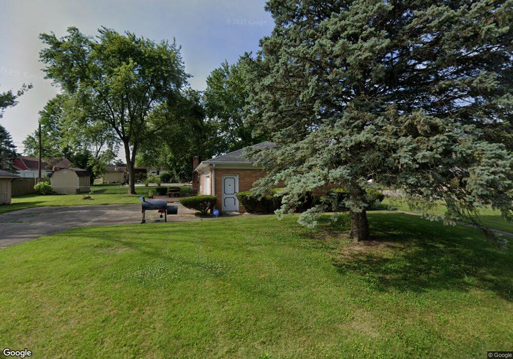
1037 Carroll White Dr Indianapolis, IN 46219
East Warren NeighborhoodEstimated Value: $232,000 - $255,000
2
Beds
2
Baths
2,184
Sq Ft
$111/Sq Ft
Est. Value
About This Home
This home is located at 1037 Carroll White Dr, Indianapolis, IN 46219 and is currently estimated at $242,474, approximately $111 per square foot. 1037 Carroll White Dr is a home located in Marion County with nearby schools including Hawthorne Elementary School, Raymond Park Intermediate School (5-6), and Raymond Park Middle School.
Ownership History
Date
Name
Owned For
Owner Type
Purchase Details
Closed on
Oct 4, 2022
Sold by
Owens Charles E and Owens Kathy D
Bought by
Owens Charles E
Current Estimated Value
Purchase Details
Closed on
Jul 16, 2018
Sold by
Owens Charles E
Bought by
Weir Kathy D and Owens Charles E
Purchase Details
Closed on
Jul 1, 2010
Sold by
Daugherty Velma L and Daugherty Velma Louis
Bought by
Owens Charles E
Home Financials for this Owner
Home Financials are based on the most recent Mortgage that was taken out on this home.
Original Mortgage
$106,033
Interest Rate
4.75%
Mortgage Type
FHA
Purchase Details
Closed on
Dec 24, 2009
Sold by
Daugherty John I and Daugherty Velma L
Bought by
Daugherty Velma L
Create a Home Valuation Report for This Property
The Home Valuation Report is an in-depth analysis detailing your home's value as well as a comparison with similar homes in the area
Home Values in the Area
Average Home Value in this Area
Purchase History
| Date | Buyer | Sale Price | Title Company |
|---|---|---|---|
| Owens Charles E | -- | -- | |
| Weir Kathy D | -- | None Available | |
| Owens Charles E | -- | First American Title Ins Co | |
| Daugherty Velma L | -- | None Available |
Source: Public Records
Mortgage History
| Date | Status | Borrower | Loan Amount |
|---|---|---|---|
| Previous Owner | Owens Charles E | $106,033 |
Source: Public Records
Tax History Compared to Growth
Tax History
| Year | Tax Paid | Tax Assessment Tax Assessment Total Assessment is a certain percentage of the fair market value that is determined by local assessors to be the total taxable value of land and additions on the property. | Land | Improvement |
|---|---|---|---|---|
| 2024 | $4,465 | $200,200 | $23,700 | $176,500 |
| 2023 | $4,465 | $188,700 | $23,700 | $165,000 |
| 2022 | $1,978 | $169,900 | $23,700 | $146,200 |
| 2021 | $1,735 | $148,400 | $23,700 | $124,700 |
| 2020 | $1,593 | $136,000 | $23,700 | $112,300 |
| 2019 | $1,568 | $134,000 | $23,700 | $110,300 |
| 2018 | $1,505 | $128,700 | $23,700 | $105,000 |
| 2017 | $1,294 | $118,700 | $23,700 | $95,000 |
| 2016 | $1,312 | $120,800 | $23,700 | $97,100 |
| 2014 | $1,135 | $113,500 | $23,700 | $89,800 |
| 2013 | $1,157 | $107,000 | $23,700 | $83,300 |
Source: Public Records
Map
Nearby Homes
- 7918 E 10th St
- 1109 N Huber St
- 1313 Roseway Dr
- 920 N Franklin Rd
- 7820 E Michigan St
- 8029 E 13th St
- 1438 Roseway Dr
- 8115 E 13th St
- 975 Burbank Rd
- 8040 Goldenrod Ct
- 415 Belmar Ave
- 315 Cecil Ave
- 155 N Franklin Rd
- 8235 Anemone Ln
- 7290 E 13th St
- 1754 Queensbridge Dr
- 340 N Eaton Ave
- 115 N Mitchner Ave
- 7726 Wellesley Dr N
- 1140 N Gibson Ave
- 1033 Carroll White Dr
- 1115 Carroll White Dr
- 7843 E 11th St
- 1023 Carroll White Dr
- 1038 Carroll White Dr
- 1121 Carroll White Dr
- 1106 Carroll White Dr
- 1034 Carroll White Dr
- 1116 Carroll White Dr
- 1024 Carroll White Dr
- 1037 Roseway Dr
- 1013 Carroll White Dr
- 1126 Roseway Dr
- 1125 Carroll White Dr
- 1113 Roseway Dr
- 1126 Carroll White Dr
- 1121 Roseway Dr
- 1014 Carroll White Dr
- 1037 N Huber St
- 7936 E 10th St