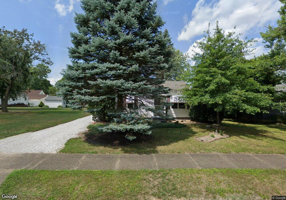
1037 Cornell Dr Alliance, OH 44601
Estimated Value: $106,142 - $166,000
2
Beds
1
Bath
720
Sq Ft
$191/Sq Ft
Est. Value
About This Home
This home is located at 1037 Cornell Dr, Alliance, OH 44601 and is currently estimated at $137,536, approximately $191 per square foot. 1037 Cornell Dr is a home located in Stark County with nearby schools including Alliance Early Learning School, Alliance Intermediate School at Northside, and Alliance Middle School.
Ownership History
Date
Name
Owned For
Owner Type
Purchase Details
Closed on
Dec 11, 2008
Sold by
Kelly M Andrew and Kelly Pamela A
Bought by
Ward Marie E
Current Estimated Value
Purchase Details
Closed on
Apr 26, 2007
Sold by
Huntington National Bank
Bought by
Kelly M Andrew and Kelly Pamela A
Purchase Details
Closed on
Sep 6, 2006
Sold by
Cleaver Sandra Watkins
Bought by
Huntington National Bank and The Helen Patterson Revocable Living Tr
Create a Home Valuation Report for This Property
The Home Valuation Report is an in-depth analysis detailing your home's value as well as a comparison with similar homes in the area
Home Values in the Area
Average Home Value in this Area
Purchase History
| Date | Buyer | Sale Price | Title Company |
|---|---|---|---|
| Ward Marie E | $77,900 | Attorney | |
| Kelly M Andrew | $60,000 | Union Title Co | |
| Huntington National Bank | -- | None Available |
Source: Public Records
Tax History
| Year | Tax Paid | Tax Assessment Tax Assessment Total Assessment is a certain percentage of the fair market value that is determined by local assessors to be the total taxable value of land and additions on the property. | Land | Improvement |
|---|---|---|---|---|
| 2025 | -- | $25,450 | $8,190 | $17,260 |
| 2024 | -- | $25,450 | $8,190 | $17,260 |
| 2023 | $591 | $23,870 | $7,210 | $16,660 |
| 2022 | $596 | $23,870 | $7,210 | $16,660 |
| 2021 | $612 | $23,870 | $7,210 | $16,660 |
| 2020 | $490 | $20,060 | $6,270 | $13,790 |
| 2019 | $483 | $20,060 | $6,270 | $13,790 |
Source: Public Records
Map
Nearby Homes
- 1539 Parkway Blvd
- 1534 Fernwood Blvd
- 1156 Parkside Dr
- 1016 Roseland Rd
- 1718 Fernwood Blvd
- 864 W College Rd
- 1310 Overlook Dr
- 720 Vincent Blvd
- 1044 Glamorgan St
- 1114 Briarcliff Ave
- 1601 Raywood Rd
- 0 Federal Ave
- 2120 Blenheim Ave
- 664 Fairview Place
- 1235 Spring Ridge Cir Unit 17A
- 203 Glamorgan St
- 2580 Edgewood Ave
- 535 S Mckinley Ave
- 621 S Haines Ave
- 2630 Blenheim Ave
- 1027 Cornell Dr
- 1034 Glenwood Dr
- 1045 Cornell Dr
- 1048 Glenwood Dr
- 1022 Glenwood Dr
- 1065 Cornell Dr
- 1042 Cornell Dr
- 1014 Glenwood Dr
- 1062 Glenwood Dr
- 1022 Cornell Dr
- 1003 Cornell Dr
- 1054 Cornell Dr
- 1008 Glenwood Dr
- 1075 Cornell Dr
- 1014 Cornell Dr
- 1066 Cornell Dr
- 1076 Glenwood Dr
- 989 Cornell Dr
- 1055 Glenwood Dr
- 1035 Glenwood Dr
Your Personal Tour Guide
Ask me questions while you tour the home.