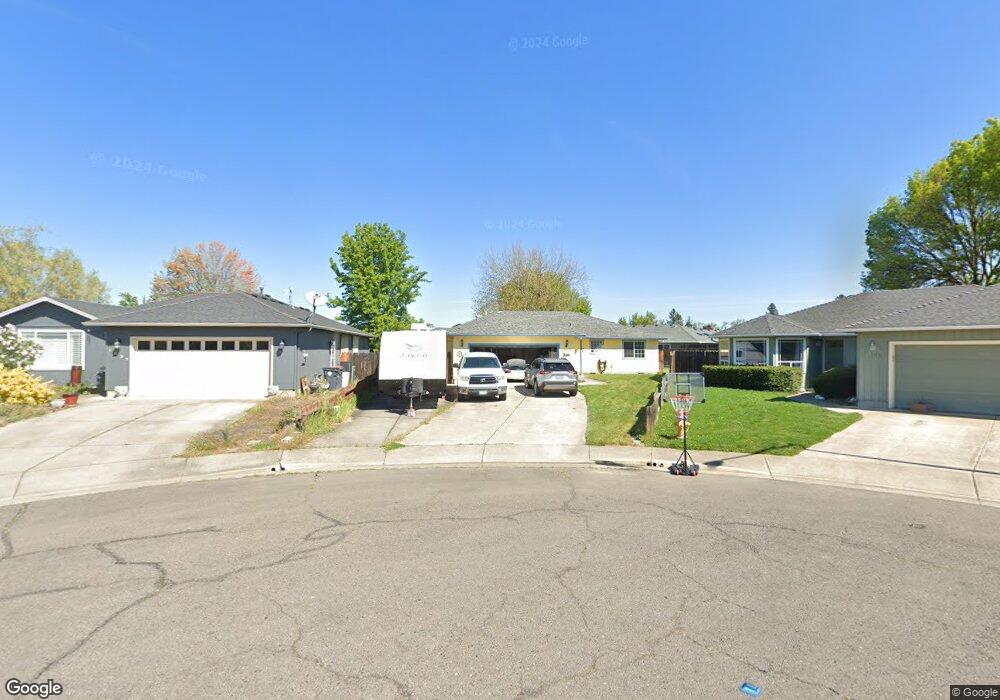
1037 Iris Cir Central Point, OR 97502
Estimated Value: $391,173 - $413,000
3
Beds
2
Baths
1,542
Sq Ft
$262/Sq Ft
Est. Value
About This Home
This home is located at 1037 Iris Cir, Central Point, OR 97502 and is currently estimated at $404,043, approximately $262 per square foot. 1037 Iris Cir is a home located in Jackson County with nearby schools including Jewett Elementary School, Scenic Middle School, and Crater High School.
Ownership History
Date
Name
Owned For
Owner Type
Purchase Details
Closed on
Sep 22, 1998
Sold by
Cota George G and Buntin Terry L
Bought by
Neal Eddy W and Neal Tracy A
Current Estimated Value
Home Financials for this Owner
Home Financials are based on the most recent Mortgage that was taken out on this home.
Original Mortgage
$111,150
Outstanding Balance
$21,908
Interest Rate
6.88%
Estimated Equity
$382,135
Create a Home Valuation Report for This Property
The Home Valuation Report is an in-depth analysis detailing your home's value as well as a comparison with similar homes in the area
Purchase History
| Date | Buyer | Sale Price | Title Company |
|---|---|---|---|
| Neal Eddy W | $117,000 | Amerititle |
Source: Public Records
Mortgage History
| Date | Status | Borrower | Loan Amount |
|---|---|---|---|
| Open | Neal Eddy W | $111,150 |
Source: Public Records
Tax History
| Year | Tax Paid | Tax Assessment Tax Assessment Total Assessment is a certain percentage of the fair market value that is determined by local assessors to be the total taxable value of land and additions on the property. | Land | Improvement |
|---|---|---|---|---|
| 2026 | $3,567 | $215,530 | -- | -- |
| 2025 | $3,479 | $209,260 | $56,170 | $153,090 |
| 2024 | $3,479 | $203,170 | $54,540 | $148,630 |
| 2023 | $3,367 | $197,260 | $52,950 | $144,310 |
| 2022 | $3,289 | $197,260 | $52,950 | $144,310 |
| 2021 | $3,195 | $191,520 | $51,410 | $140,110 |
| 2020 | $3,102 | $185,950 | $49,910 | $136,040 |
| 2019 | $3,025 | $175,290 | $47,040 | $128,250 |
| 2018 | $2,933 | $170,190 | $45,670 | $124,520 |
| 2017 | $2,860 | $170,190 | $45,670 | $124,520 |
| 2016 | $2,776 | $160,430 | $43,050 | $117,380 |
| 2015 | $2,660 | $160,430 | $43,050 | $117,380 |
| 2014 | $2,592 | $151,230 | $40,580 | $110,650 |
Source: Public Records
Map
Nearby Homes
- 5030 Del Mar Dr
- 0 Peninger Rd
- 1855 Nancy Ave
- 4626 N Pacific Hwy
- 833 Hazel St
- 55 Crater Ln
- 1860 Cottonwood Dr
- 366 Marian Ave Unit 39
- 356 Marian Ave Unit 40
- 335 Applewood Dr
- 348 Cascade Dr
- 348 N 6th St
- 342 Hazel St
- 0 Boulder Ridge St
- 1167 Boulder Ridge St
- 144 N 5th St
- 545 Bridge Creek Dr
- 626 Griffin Oaks Dr
- 1317 River Run St
- 2021 Taylor Rd
- 1039 Iris Cir
- 1035 Iris Cir
- 1361 Vista Dr
- 1120 Lathrop Dr Unit 49
- 1120 Lathrop Dr
- 1369 Vista Dr
- 1359 Vista Dr
- 1130 Lathrop Dr Unit 50
- 1130 Lathrop Dr
- 1110 Lathrop Dr
- 1034 Iris Cir
- 1040 Lathrop Dr
- 1140 Lathrop Dr Unit 51
- 1140 Lathrop Dr
- 1349 Vista Dr
- 1455 Vista Dr Unit ALTA
- 1100 Lathrop Dr
- 1032 Iris Cir
- 1030 Lathrop Dr
- 1321 Vista Dr
Your Personal Tour Guide
Ask me questions while you tour the home.