1037 Odegard Farm Rd Kalispell, MT 59901
Estimated Value: $342,000 - $889,000
3
Beds
1
Bath
1,719
Sq Ft
$396/Sq Ft
Est. Value
About This Home
This home is located at 1037 Odegard Farm Rd, Kalispell, MT 59901 and is currently estimated at $680,007, approximately $395 per square foot. 1037 Odegard Farm Rd is a home with nearby schools including Cayuse Prairie Elementary School, Cayuse Prairie Junior High School, and Flathead High School.
Ownership History
Date
Name
Owned For
Owner Type
Purchase Details
Closed on
Sep 13, 2019
Sold by
Thorness Eric D
Bought by
Thorness Eric D and Thorness Charis
Current Estimated Value
Home Financials for this Owner
Home Financials are based on the most recent Mortgage that was taken out on this home.
Original Mortgage
$245,000
Outstanding Balance
$214,601
Interest Rate
3.6%
Mortgage Type
New Conventional
Estimated Equity
$465,406
Purchase Details
Closed on
Nov 1, 2010
Sold by
Hegwald Bonnie L
Bought by
Thornes Eric D
Create a Home Valuation Report for This Property
The Home Valuation Report is an in-depth analysis detailing your home's value as well as a comparison with similar homes in the area
Home Values in the Area
Average Home Value in this Area
Purchase History
| Date | Buyer | Sale Price | Title Company |
|---|---|---|---|
| Thorness Eric D | -- | Insured Titles | |
| Thornes Eric D | -- | None Available |
Source: Public Records
Mortgage History
| Date | Status | Borrower | Loan Amount |
|---|---|---|---|
| Open | Thorness Eric D | $245,000 |
Source: Public Records
Tax History Compared to Growth
Tax History
| Year | Tax Paid | Tax Assessment Tax Assessment Total Assessment is a certain percentage of the fair market value that is determined by local assessors to be the total taxable value of land and additions on the property. | Land | Improvement |
|---|---|---|---|---|
| 2025 | $2,093 | $584,800 | $0 | $0 |
| 2024 | $2,974 | $521,100 | $0 | $0 |
| 2023 | $3,076 | $521,100 | $0 | $0 |
| 2022 | $2,193 | $305,700 | $0 | $0 |
| 2021 | $2,440 | $305,700 | $0 | $0 |
| 2020 | $2,248 | $260,600 | $0 | $0 |
| 2019 | $2,217 | $260,600 | $0 | $0 |
| 2018 | $1,963 | $221,100 | $0 | $0 |
| 2017 | $1,956 | $221,100 | $0 | $0 |
| 2016 | $1,888 | $216,400 | $0 | $0 |
| 2015 | $1,899 | $216,400 | $0 | $0 |
| 2014 | $1,965 | $136,687 | $0 | $0 |
Source: Public Records
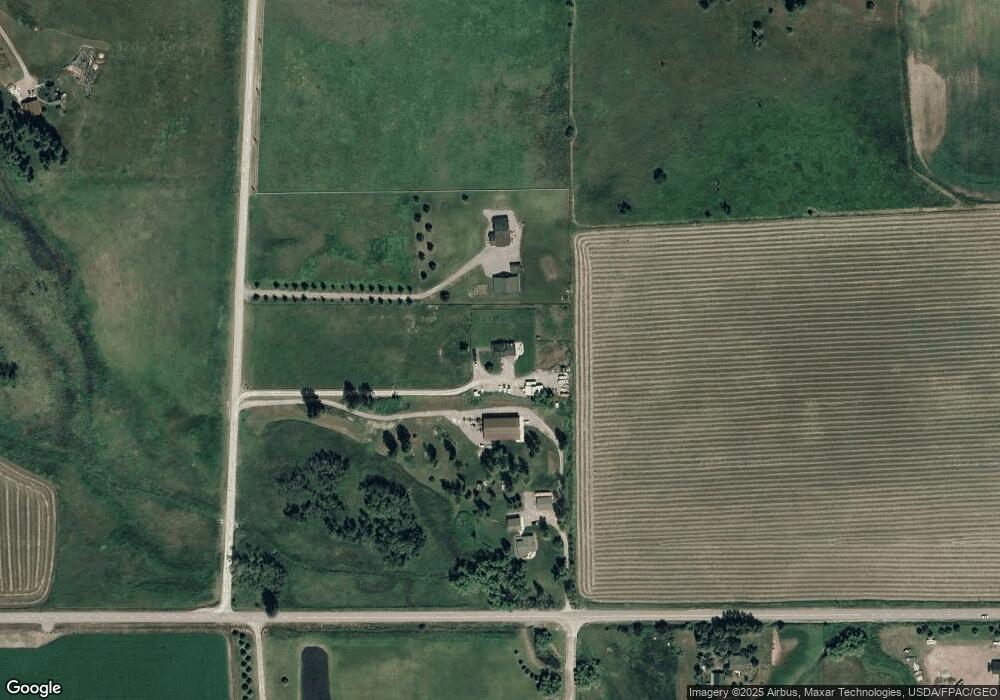
Map
Nearby Homes
- 1052 Foxtail Dr
- 1330 Quail Ridge Dr
- 1241 Quail Ridge Dr
- 1225 Quail Ridge Dr
- 449 Spruce Meadows Loop
- 117 Sweet Ln
- 322 Spruce Meadows Loop
- 605 Creston Hatchery Rd
- 618 Leonard Ln
- 95 Creston Trail
- 308 Bachelor Grade
- 197 Jefferson St
- 221 Kauffman Ln
- 395 Jefferson St
- 32 Elk Meadow Ln
- 532 Sweetgrass Ranch Rd
- 481 Jefferson St
- 496 Jefferson St
- 237 Lake Blaine Dr
- 660 Sweetgrass Ranch Rd
- 1041 Odegard Farm Rd
- 393 Mennonite Church Rd
- 391 Mennonite Church Rd
- 0 Mennonite Church Rd
- Nhn Odegard Farm Rd
- 0 Odegard Farm Rd
- 1150 Odegard Farm Rd
- 287 Mennonite Church Rd
- 420 Mennonite Church Rd
- 0 Leah Lane Farm Rd
- 578 Creston Rd
- 40 Leah Ann Ln
- 315 Mennonite Church Rd
- 566 Creston Rd
- 1163 Odegard Farm Rd
- Lot 1 Foxtail Dr
- 574 Creston Rd
- Lot 2 Foxtail Dr
- 515 Mennonite Church Rd
- 1078 Foxtail Dr