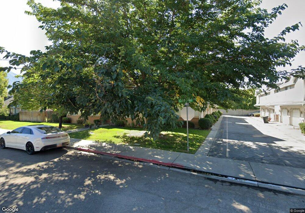
1037 S 290 W Unit F Provo, UT 84601
Franklin NeighborhoodEstimated Value: $360,000 - $465,000
3
Beds
2
Baths
1,711
Sq Ft
$230/Sq Ft
Est. Value
About This Home
This home is located at 1037 S 290 W Unit F, Provo, UT 84601 and is currently estimated at $394,360, approximately $230 per square foot. 1037 S 290 W Unit F is a home located in Utah County with nearby schools including Spring Creek Elementary School, Centennial Middle School, and Timpview High School.
Ownership History
Date
Name
Owned For
Owner Type
Purchase Details
Closed on
Dec 6, 2019
Sold by
Cirullo Frank R and Cirullo Bonita Louise
Bought by
Porter Joyce
Current Estimated Value
Purchase Details
Closed on
Oct 22, 2018
Sold by
Cirullo Frank R and Cirullo Bonita Louise
Bought by
Porter Joyce Marie
Home Financials for this Owner
Home Financials are based on the most recent Mortgage that was taken out on this home.
Original Mortgage
$223,100
Interest Rate
4.6%
Mortgage Type
New Conventional
Purchase Details
Closed on
Feb 10, 2017
Sold by
Kennington Brian R and Kennington Shayla C
Bought by
Cirullo Framk R and Cirullo Bonita Louise
Purchase Details
Closed on
Jul 20, 2009
Sold by
Gabler Family #1 Lc
Bought by
Kennington Brian R and Kennington Shayla C
Home Financials for this Owner
Home Financials are based on the most recent Mortgage that was taken out on this home.
Original Mortgage
$136,823
Interest Rate
5.25%
Mortgage Type
FHA
Create a Home Valuation Report for This Property
The Home Valuation Report is an in-depth analysis detailing your home's value as well as a comparison with similar homes in the area
Home Values in the Area
Average Home Value in this Area
Purchase History
| Date | Buyer | Sale Price | Title Company |
|---|---|---|---|
| Porter Joyce | -- | Skyline Title Llc | |
| Porter Joyce Marie | -- | Stewart Title Ins Agency | |
| Cirullo Framk R | -- | None Available | |
| Kennington Brian R | -- | Utah Standard Title |
Source: Public Records
Mortgage History
| Date | Status | Borrower | Loan Amount |
|---|---|---|---|
| Previous Owner | Porter Joyce Marie | $223,100 | |
| Previous Owner | Kennington Brian R | $136,823 |
Source: Public Records
Tax History Compared to Growth
Tax History
| Year | Tax Paid | Tax Assessment Tax Assessment Total Assessment is a certain percentage of the fair market value that is determined by local assessors to be the total taxable value of land and additions on the property. | Land | Improvement |
|---|---|---|---|---|
| 2025 | $1,837 | $188,870 | $38,200 | $305,200 |
| 2024 | $1,837 | $180,785 | $0 | $0 |
| 2023 | $1,884 | $182,820 | $0 | $0 |
| 2022 | $1,591 | $155,705 | $0 | $0 |
| 2021 | $1,338 | $228,300 | $27,400 | $200,900 |
| 2020 | $1,320 | $211,100 | $25,300 | $185,800 |
| 2019 | $1,149 | $191,100 | $26,000 | $165,100 |
| 2018 | $73 | $164,200 | $24,000 | $140,200 |
| 2017 | $274 | $90,310 | $0 | $0 |
| 2016 | $967 | $83,600 | $0 | $0 |
| 2015 | $869 | $75,900 | $0 | $0 |
| 2014 | $834 | $75,900 | $0 | $0 |
Source: Public Records
Map
Nearby Homes
- 272 W 1020 S Unit B
- 933 S Blvd W
- 1095 S 500 W Unit 11
- 751 S 400 W
- 151 S Meadow Dr Unit 19
- 151 S Meadow Dr
- 648 S 500 W Unit 4
- 330 W 600 S
- 608 S 500 W Unit 3
- 516 S Freedom Blvd
- 1125 S 770 W
- 655 W 1280 S
- 389 W 500 S
- 590 S 600 W
- 475 S 400 W Unit D1
- 491 S Freedom Blvd Unit 104204
- 461 S 400 W
- 784 W Heather Ln
- 3404 W 1500 N
- 761 W 600 S Unit 12
- 1037 S 290 W
- 1037 S 290 W Unit D
- 1037 S 290 W
- 1037 S 290 W Unit B
- 1037 S 290 W Unit A
- 1037 S 290 W
- 1037 S 290 W Unit E
- 1037 S 290 W Unit C
- 1038 S 250 W
- 1038 S 250 W Unit E
- 1038 S 250 W
- 1038 S 250 W Unit C
- 1038 S 250 W Unit 8
- 1038 S 250 W Unit A
- 1038 S 250 W Unit F
- 1038 S 250 W Unit D
- 1038 S 250 W Unit B
- 1038 S 250 W Unit E
- 1038 S 250 W Unit D
- 1036 S 290 W Unit E