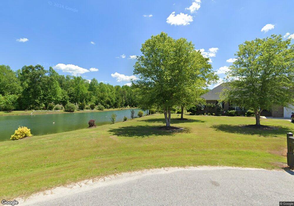
1038 Connor Rd Manning, SC 29102
Estimated Value: $413,000 - $768,425
--
Bed
--
Bath
3,303
Sq Ft
$182/Sq Ft
Est. Value
About This Home
This home is located at 1038 Connor Rd, Manning, SC 29102 and is currently estimated at $602,606, approximately $182 per square foot. 1038 Connor Rd is a home with nearby schools including Manning Early Childhood Center, Manning Primary School, and Manning Elementary School.
Ownership History
Date
Name
Owned For
Owner Type
Purchase Details
Closed on
Mar 18, 2016
Sold by
Byerly Janeen J
Bought by
Buchanan James A and Buchanan Teresa M
Current Estimated Value
Home Financials for this Owner
Home Financials are based on the most recent Mortgage that was taken out on this home.
Original Mortgage
$240,000
Outstanding Balance
$189,959
Interest Rate
3.65%
Mortgage Type
New Conventional
Estimated Equity
$412,647
Purchase Details
Closed on
Sep 6, 2012
Sold by
Byerly Ronnie G and Byerly Janeen J
Bought by
Byerly Ronnie G and Byerly Janeen J
Create a Home Valuation Report for This Property
The Home Valuation Report is an in-depth analysis detailing your home's value as well as a comparison with similar homes in the area
Home Values in the Area
Average Home Value in this Area
Purchase History
| Date | Buyer | Sale Price | Title Company |
|---|---|---|---|
| Buchanan James A | $300,000 | Attorney | |
| Byerly Ronnie G | -- | None Available |
Source: Public Records
Mortgage History
| Date | Status | Borrower | Loan Amount |
|---|---|---|---|
| Open | Buchanan James A | $240,000 |
Source: Public Records
Tax History Compared to Growth
Tax History
| Year | Tax Paid | Tax Assessment Tax Assessment Total Assessment is a certain percentage of the fair market value that is determined by local assessors to be the total taxable value of land and additions on the property. | Land | Improvement |
|---|---|---|---|---|
| 2024 | $3,584 | $17,672 | $5,121 | $12,551 |
| 2023 | $3,507 | $18,432 | $4,748 | $13,684 |
| 2022 | $3,467 | $18,432 | $4,748 | $13,684 |
| 2021 | $3,193 | $15,286 | $3,358 | $11,928 |
| 2020 | $3,193 | $14,700 | $2,772 | $11,928 |
| 2019 | $3,370 | $16,932 | $2,772 | $14,160 |
| 2018 | $2,891 | $15,782 | $0 | $0 |
| 2017 | $6,213 | $19,446 | $0 | $0 |
| 2016 | $2,132 | $25,968 | $0 | $0 |
| 2015 | $2,191 | $13,172 | $2,100 | $11,072 |
| 2014 | $2,097 | $13,072 | $2,000 | $11,072 |
| 2013 | -- | $12,352 | $1,280 | $11,072 |
Source: Public Records
Map
Nearby Homes
- 1111 Foxbrook Ln
- 416 Thames St
- 406 Thames St
- TBD Old Georgetown Rd @ I95
- 101 Sumter St
- 107 Sumter St
- 40 W Rigby St
- 5301 Cypress Pointe #D301
- 202 E Huggins St
- 200 W Boyce St
- 409 W Boyce St
- 138 Nelson Cir
- 1000 Carolina Way
- 250 Dyson St
- 404 S Church St
- 204 Drayton St
- 387 Drayton St
- W Huggins St
- TBD Bloomville Rd
- 6880 Bloomville Rd
- 1038 Canary Ct
- 1035 Canary Ct
- 1057 Hummingbird Trail
- 1057 Humming Bird Trail
- 1035 Connor Rd
- 5163 Hwy 301
- 1066 Humming Bird Trail
- 1048 Humming Bird Trail
- 1037 Humming Bird Trail
- 5091 Hwy 301
- 1148 Blue Jay Ave
- 1019 Humming Bird Trail
- 1192 Blue Jay Ave
- 5059 Hwy 301
- 1016 Pheasant Rd
- 1193 Blue Jay Ave
- 1080 Blue Jay Ave
- 12 Blue Jay Ave
- 1127 Blue Jay Ave
- 5023 Hwy 301