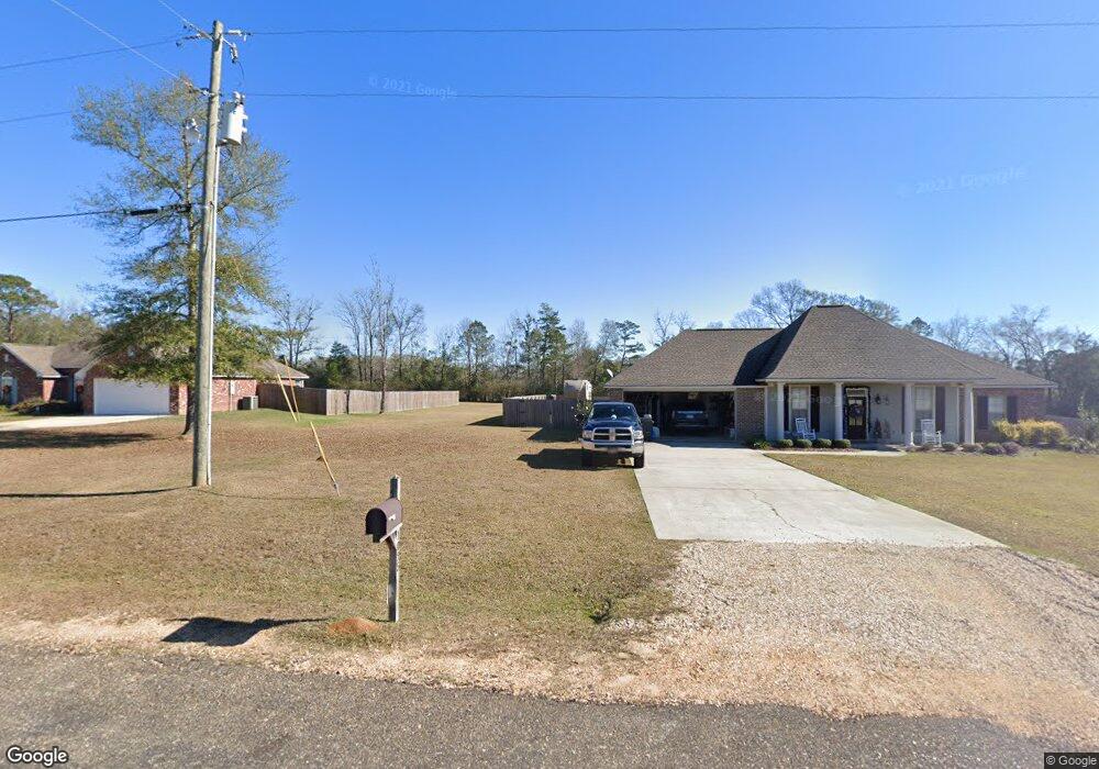
1038 Hilltop Ln E Summit, MS 39666
Estimated Value: $232,280 - $316,000
Studio
--
Bath
2,103
Sq Ft
$133/Sq Ft
Est. Value
About This Home
This home is located at 1038 Hilltop Ln E, Summit, MS 39666 and is currently estimated at $278,820, approximately $132 per square foot. 1038 Hilltop Ln E is a home with nearby schools including North Pike Elementary School, North Pike Middle School, and North Pike Senior High School.
Ownership History
Date
Name
Owned For
Owner Type
Purchase Details
Closed on
Oct 10, 2017
Sold by
Heritage Home Builders Llc
Bought by
Lowery Thomas Lee and Lowery Stacy W
Current Estimated Value
Home Financials for this Owner
Home Financials are based on the most recent Mortgage that was taken out on this home.
Original Mortgage
$137,500
Outstanding Balance
$72,272
Interest Rate
3.16%
Mortgage Type
New Conventional
Estimated Equity
$206,548
Purchase Details
Closed on
Jan 19, 2016
Sold by
570 East Llc
Bought by
Heritage Home Builders Llc
Create a Home Valuation Report for This Property
The Home Valuation Report is an in-depth analysis detailing your home's value as well as a comparison with similar homes in the area
Purchase History
| Date | Buyer | Sale Price | Title Company |
|---|---|---|---|
| Lowery Thomas Lee | -- | None Available | |
| Heritage Home Builders Llc | -- | None Available |
Source: Public Records
Mortgage History
| Date | Status | Borrower | Loan Amount |
|---|---|---|---|
| Open | Lowery Thomas Lee | $137,500 |
Source: Public Records
Tax History
| Year | Tax Paid | Tax Assessment Tax Assessment Total Assessment is a certain percentage of the fair market value that is determined by local assessors to be the total taxable value of land and additions on the property. | Land | Improvement |
|---|---|---|---|---|
| 2025 | $1,021 | $17,654 | $0 | $0 |
| 2024 | $1,036 | $15,137 | $0 | $0 |
| 2023 | $1,013 | $15,137 | $0 | $0 |
| 2022 | $999 | $15,137 | $0 | $0 |
| 2021 | $996 | $15,137 | $0 | $0 |
| 2020 | $1,001 | $15,040 | $0 | $0 |
| 2019 | $977 | $15,046 | $0 | $0 |
| 2018 | $1,636 | $15,046 | $0 | $0 |
| 2017 | $423 | $3,363 | $0 | $0 |
Source: Public Records
Map
Nearby Homes
- 1024 Sabrina Dr
- 1086 Stewart Mill Rd
- Tbd Hwy 570 River Road N and S
- 1033 Spike Ln
- 1022 Friendship Cir
- XXX Brewer Ln
- 1086 Mississippi 570
- 2194 Brandi Rd
- 0 Rolling Oaks Dr
- TBD River Rd N
- 0 River Rd N
- 1011 Rolling Oaks Dr
- 2190 Summit Holmesville Rd
- 3037 Brandi Rd
- 2008 Johnston Station Rd
- 1021 Great Point Rd
- 1500 Robb St
- 0 Deer Ridge Rd
- 1011 Eastover Ln
- 2075 Hartwell Rd
- 1026 Hilltop Ln E
- 1010 Hilltop Ln E
- 1046 Hilltop Ln
- 1016 Hilltop Ln E
- 1032 Hilltop Ln E
- 1025 Mindy Ln
- XXXX Mindy Ln
- 1026 Mindy Ln
- 1019 Mindy Ln E
- 1020 Mindy Ln
- 1032 Mindy Ln
- 1013 Mindy Ln
- 1033 Mindy Ln E
- 1010 Mindy Ln
- 1038 Mindy Ln
- 1007 Hilltop Ln E
- 1006 Mindy Ln
- 1042 Mindy Ln
- 1007 Mindy Ln E
- 1023 Hilltop Ln
Your Personal Tour Guide
Ask me questions while you tour the home.