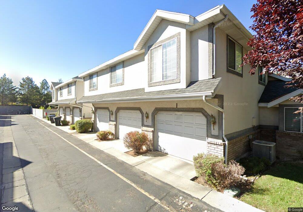
1038 S 250 W Unit A Provo, UT 84601
Franklin NeighborhoodEstimated Value: $350,000 - $388,540
3
Beds
3
Baths
1,245
Sq Ft
$295/Sq Ft
Est. Value
About This Home
This home is located at 1038 S 250 W Unit A, Provo, UT 84601 and is currently estimated at $366,885, approximately $294 per square foot. 1038 S 250 W Unit A is a home located in Utah County with nearby schools including Spring Creek Elementary School, Centennial Middle School, and Timpview High School.
Ownership History
Date
Name
Owned For
Owner Type
Purchase Details
Closed on
Dec 18, 2020
Sold by
Christiansen John D
Bought by
Paxton Bethany Charlotte
Current Estimated Value
Home Financials for this Owner
Home Financials are based on the most recent Mortgage that was taken out on this home.
Original Mortgage
$294,500
Interest Rate
3.1%
Mortgage Type
New Conventional
Purchase Details
Closed on
Oct 5, 2009
Sold by
Wood Mildred B
Bought by
Christiansen John D
Purchase Details
Closed on
Apr 1, 2002
Sold by
Wood Bradley Wayne and Wood Belva Rhoades
Bought by
Wood Harrison L and Wood Mildred B
Create a Home Valuation Report for This Property
The Home Valuation Report is an in-depth analysis detailing your home's value as well as a comparison with similar homes in the area
Home Values in the Area
Average Home Value in this Area
Purchase History
| Date | Buyer | Sale Price | Title Company |
|---|---|---|---|
| Paxton Bethany Charlotte | -- | Vanguard Title Ins Agency | |
| Christiansen John D | -- | Vintage Title Insurance Age | |
| Wood Harrison L | -- | -- |
Source: Public Records
Mortgage History
| Date | Status | Borrower | Loan Amount |
|---|---|---|---|
| Previous Owner | Paxton Bethany Charlotte | $294,500 |
Source: Public Records
Tax History Compared to Growth
Tax History
| Year | Tax Paid | Tax Assessment Tax Assessment Total Assessment is a certain percentage of the fair market value that is determined by local assessors to be the total taxable value of land and additions on the property. | Land | Improvement |
|---|---|---|---|---|
| 2025 | $1,877 | $191,895 | $38,800 | $310,100 |
| 2024 | $1,877 | $184,745 | $0 | $0 |
| 2023 | $1,872 | $181,665 | $0 | $0 |
| 2022 | $1,591 | $155,705 | $0 | $0 |
| 2021 | $1,338 | $228,300 | $27,400 | $200,900 |
| 2020 | $1,320 | $211,100 | $25,300 | $185,800 |
| 2019 | $1,149 | $191,100 | $26,000 | $165,100 |
| 2018 | $973 | $164,200 | $24,000 | $140,200 |
| 2017 | $974 | $90,310 | $0 | $0 |
| 2016 | $967 | $83,600 | $0 | $0 |
| 2015 | $869 | $75,900 | $0 | $0 |
| 2014 | $834 | $75,900 | $0 | $0 |
Source: Public Records
Map
Nearby Homes
- 272 W 1020 S Unit B
- 933 S Blvd W
- 1095 S 500 W Unit 11
- 151 S Meadow Dr Unit 19
- 151 S Meadow Dr
- 655 W 1280 S
- 1125 S 770 W
- 648 S 500 W Unit 4
- 330 W 600 S
- 608 S 500 W Unit 3
- 516 S Freedom Blvd
- 389 W 500 S
- 491 S Freedom Blvd Unit 104204
- 590 S 600 W
- 311 W 1610 S
- 475 S 400 W Unit D1
- 784 W Heather Ln
- 461 S 400 W
- 761 W 600 S Unit 12
- 3404 W 1500 N
- 1038 S 250 W Unit E
- 1038 S 250 W
- 1038 S 250 W Unit C
- 1038 S 250 W Unit 8
- 1038 S 250 W Unit F
- 1038 S 250 W Unit D
- 1038 S 250 W Unit B
- 1038 S 250 W Unit E
- 1038 S 250 W Unit D
- 1038 S 250 W
- 1037 S 290 W
- 1037 S 290 W Unit D
- 1037 S 290 W
- 1037 S 290 W Unit B
- 1037 S 290 W Unit A
- 1037 S 290 W
- 1037 S 290 W Unit F
- 1037 S 290 W Unit E
- 1037 S 290 W Unit C
- 1035 S 250 W