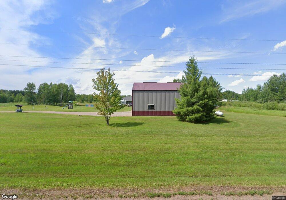
10387 Sod Rd Pine City, MN 55063
Estimated Value: $345,000 - $557,855
2
Beds
2
Baths
2,248
Sq Ft
$209/Sq Ft
Est. Value
About This Home
This home is located at 10387 Sod Rd, Pine City, MN 55063 and is currently estimated at $469,618, approximately $208 per square foot. 10387 Sod Rd is a home located in Pine County with nearby schools including Pine City Elementary School and Pine City Secondary School.
Ownership History
Date
Name
Owned For
Owner Type
Purchase Details
Closed on
Jun 8, 2020
Sold by
Nordrum Jerome C and Nordrum Dawn
Bought by
Borgstrom Tobias C and Borgstrom Jessica L
Current Estimated Value
Purchase Details
Closed on
Aug 21, 2009
Sold by
Waggoner Wm S
Bought by
Vorgstrom Tobias and Nodgrum Jessica L
Purchase Details
Closed on
May 10, 2005
Sold by
Pine City State Bank
Bought by
Waggoner William Scott and Nordrum Jerome C
Home Financials for this Owner
Home Financials are based on the most recent Mortgage that was taken out on this home.
Original Mortgage
$44,741
Interest Rate
6.13%
Mortgage Type
Seller Take Back
Create a Home Valuation Report for This Property
The Home Valuation Report is an in-depth analysis detailing your home's value as well as a comparison with similar homes in the area
Home Values in the Area
Average Home Value in this Area
Purchase History
| Date | Buyer | Sale Price | Title Company |
|---|---|---|---|
| Borgstrom Tobias C | -- | North American Title | |
| Vorgstrom Tobias | $42,463 | -- | |
| Waggoner William Scott | $89,000 | City Title Inc |
Source: Public Records
Mortgage History
| Date | Status | Borrower | Loan Amount |
|---|---|---|---|
| Previous Owner | Waggoner William Scott | $44,741 |
Source: Public Records
Tax History Compared to Growth
Tax History
| Year | Tax Paid | Tax Assessment Tax Assessment Total Assessment is a certain percentage of the fair market value that is determined by local assessors to be the total taxable value of land and additions on the property. | Land | Improvement |
|---|---|---|---|---|
| 2025 | $4,204 | $525,700 | $118,000 | $407,700 |
| 2024 | $3,985 | $533,800 | $90,500 | $443,300 |
| 2023 | $3,818 | $501,300 | $98,800 | $402,500 |
| 2022 | $3,880 | $424,000 | $69,600 | $354,400 |
| 2021 | $1,064 | $336,600 | $64,700 | $271,900 |
| 2020 | $904 | $117,000 | $50,800 | $66,200 |
| 2019 | $744 | $101,300 | $46,500 | $54,800 |
| 2018 | $734 | $86,400 | $39,500 | $46,900 |
| 2017 | $716 | $84,700 | $39,500 | $45,200 |
| 2016 | $792 | $83,900 | $41,400 | $42,500 |
| 2014 | $720 | $55,800 | $32,399 | $23,401 |
Source: Public Records
Map
Nearby Homes
- 11331 Lakeview Heights Rd
- 19624 Brook Park Rd
- 24368 Brook Park Rd
- 19314 Highwood Shores Rd
- 9840 Audrey Gayle Dr
- 18974 Klondike Loop
- 10049 Hook St
- XXXXX White Oak Rd
- XX Pole Rd
- 5803 Hawk Ridge Rd
- 000 Maple Knoll Rd
- 000 Henriette Rd
- 0000 Henriette Rd
- 12796 Mallard Rd
- TBD Minnesota 107
- 000 Mid River Rd
- 16200 Auburn Rd
- TBD Hwy 61
- 9537 Birchview Rd
- TBD Minnesota 23
- 10543 Sod Rd
- 10703 Sod Rd
- 10129 Sod Rd
- Lot A Brook Dr
- 22448 Tunnel Rd
- 22401 Tunnel Rd
- 22539 Tunnel Rd
- xx Sod Rd
- 0 Brook Dr Unit 3805803
- XXX Brook Dr
- 0 Brook Dr Unit 4091030
- 0 Brook Dr Unit 4154336
- 22791 Tunnel Rd
- Lot D Brook Dr
- 22636 Tunnel Rd
- 9576 Sod Rd
- Lot B Brook Dr
- 0 Brook-Drive- Unit 3514977
- 0 Lot A Brook-Drive- Unit 3495095
- 0 Lot D Brook-Drive- Unit 3532749