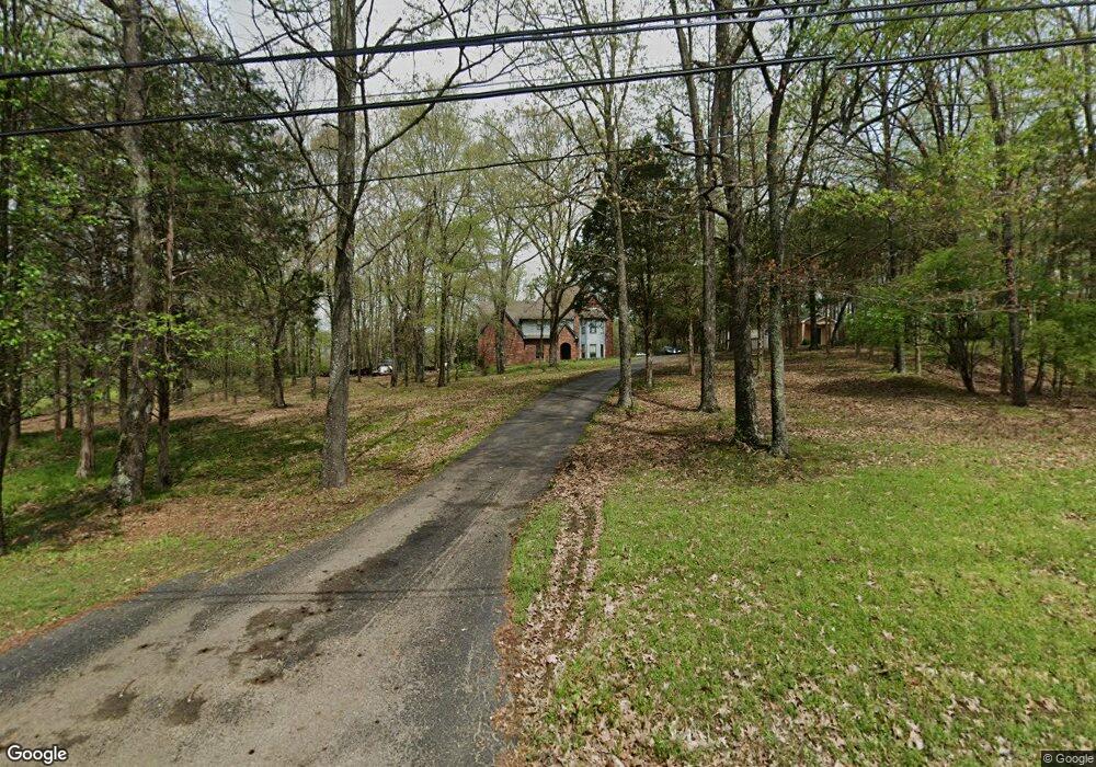
10388 Latting Rd Cordova, TN 38016
Gray's Creek NeighborhoodEstimated Value: $386,000 - $465,352
5
Beds
5
Baths
4,024
Sq Ft
$105/Sq Ft
Est. Value
About This Home
This home is located at 10388 Latting Rd, Cordova, TN 38016 and is currently estimated at $423,838, approximately $105 per square foot. 10388 Latting Rd is a home located in Shelby County with nearby schools including Macon-Hall Elementary School, Mt. Pisgah Middle School, and Bolton High School.
Ownership History
Date
Name
Owned For
Owner Type
Purchase Details
Closed on
Oct 16, 2008
Sold by
Deutsche Bank Trust Company Americas
Bought by
Burge James M and Blackwell Deborah L
Current Estimated Value
Purchase Details
Closed on
May 19, 2008
Sold by
Rutledge Mitchell A and Rutledge Birgit L
Bought by
Deutsche Bank Trust Co Americas and Residential Funding Co Llc
Purchase Details
Closed on
May 27, 2005
Sold by
Staggs David and Staggs Candy L
Bought by
Rutledge Mitchell A and Rutledge Birgit L
Home Financials for this Owner
Home Financials are based on the most recent Mortgage that was taken out on this home.
Original Mortgage
$274,200
Interest Rate
5.7%
Mortgage Type
Fannie Mae Freddie Mac
Create a Home Valuation Report for This Property
The Home Valuation Report is an in-depth analysis detailing your home's value as well as a comparison with similar homes in the area
Home Values in the Area
Average Home Value in this Area
Purchase History
| Date | Buyer | Sale Price | Title Company |
|---|---|---|---|
| Burge James M | $185,000 | Stewart Title Of Memphis Inc | |
| Deutsche Bank Trust Co Americas | $280,000 | None Available | |
| Rutledge Mitchell A | $342,784 | -- |
Source: Public Records
Mortgage History
| Date | Status | Borrower | Loan Amount |
|---|---|---|---|
| Previous Owner | Rutledge Mitchell A | $274,200 | |
| Closed | Rutledge Mitchell A | $68,550 |
Source: Public Records
Tax History Compared to Growth
Tax History
| Year | Tax Paid | Tax Assessment Tax Assessment Total Assessment is a certain percentage of the fair market value that is determined by local assessors to be the total taxable value of land and additions on the property. | Land | Improvement |
|---|---|---|---|---|
| 2025 | $2,435 | $95,000 | $40,450 | $54,550 |
| 2024 | $2,435 | $71,825 | $40,450 | $31,375 |
| 2023 | $2,435 | $71,825 | $40,450 | $31,375 |
| 2022 | $2,435 | $71,825 | $40,450 | $31,375 |
| 2021 | $3,326 | $96,400 | $40,450 | $55,950 |
| 2020 | $3,272 | $80,800 | $36,500 | $44,300 |
| 2019 | $3,272 | $80,800 | $36,500 | $44,300 |
| 2018 | $3,272 | $80,800 | $36,500 | $44,300 |
| 2017 | $3,321 | $80,800 | $36,500 | $44,300 |
| 2016 | $3,365 | $77,000 | $0 | $0 |
| 2014 | $3,365 | $77,000 | $0 | $0 |
Source: Public Records
Map
Nearby Homes
- 0 Latting Rd Unit 10198268
- 10658 Headley Cove
- 1698 Pisgah Rd
- 1663 N Pisgah Rd
- 1636 Stable Run Dr
- 1632 Sutton Meadow Ln
- 1649 Brimhill Ln
- 10879 Latting Rd
- 1871 Speyburn Cove
- 9931 Chivas Dr
- 1914 Talisker Dr
- 1830 Speyburn Cove
- 10004 Chariden Dr
- 1915 Talisker Dr
- 10242 Spruce Grove Ln
- 10227 Spruce Grove Ln
- 1886 N Houston Levee Rd
- 10166 Lynham Dr
- 1513 Hamilton Hill Dr
- 1818 N Houston Levee Rd
- 10414 Latting Rd
- 10370 Latting Rd
- 10387 Latting Rd
- 10430 Latting Rd
- 10391 Latting Rd
- 10395 Latting Rd
- 2070 Clarke Landing Dr
- 10425 Latting Rd
- 2140 Clarke Landing Dr
- 10450 Latting Rd
- 10480 Latting Rd
- 10490 Latting Rd
- 2065 Clarke Landing Dr
- 2166 Clarke Landing Dr
- 2157 Clarke Landing Cove S
- 2161 Clarke Landing Dr
- 10495 Latting Rd
- 2165 Clarke Landing Cove S
- 10290 Latting Rd
- 2180 Clarke Landing Dr