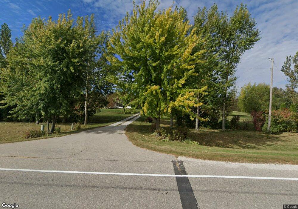
10389 County 21 Canton, MN 55922
Estimated Value: $222,000 - $370,000
3
Beds
2
Baths
3,184
Sq Ft
$87/Sq Ft
Est. Value
About This Home
This home is located at 10389 County 21, Canton, MN 55922 and is currently estimated at $277,931, approximately $87 per square foot. 10389 County 21 is a home located in Fillmore County with nearby schools including Mabel-Canton Elementary School and Mabel-Canton Secondary School.
Ownership History
Date
Name
Owned For
Owner Type
Purchase Details
Closed on
Aug 28, 2009
Sold by
Jones Dean L and Jones Jacquelyn M
Bought by
Good Timothy A and Good Sandra K
Current Estimated Value
Home Financials for this Owner
Home Financials are based on the most recent Mortgage that was taken out on this home.
Original Mortgage
$99,000
Outstanding Balance
$65,008
Interest Rate
5.27%
Mortgage Type
New Conventional
Estimated Equity
$212,923
Create a Home Valuation Report for This Property
The Home Valuation Report is an in-depth analysis detailing your home's value as well as a comparison with similar homes in the area
Purchase History
| Date | Buyer | Sale Price | Title Company |
|---|---|---|---|
| Good Timothy A | $175,000 | None Available |
Source: Public Records
Mortgage History
| Date | Status | Borrower | Loan Amount |
|---|---|---|---|
| Open | Good Timothy A | $99,000 |
Source: Public Records
Tax History
| Year | Tax Paid | Tax Assessment Tax Assessment Total Assessment is a certain percentage of the fair market value that is determined by local assessors to be the total taxable value of land and additions on the property. | Land | Improvement |
|---|---|---|---|---|
| 2025 | $1,342 | $203,200 | $66,600 | $136,600 |
| 2024 | $1,342 | $179,400 | $55,600 | $123,800 |
| 2023 | $1,332 | $179,400 | $55,600 | $123,800 |
| 2022 | $1,332 | $165,500 | $57,600 | $107,900 |
| 2021 | $1,332 | $147,000 | $46,600 | $100,400 |
| 2020 | $1,178 | $147,000 | $46,600 | $100,400 |
| 2019 | $1,222 | $149,000 | $46,600 | $102,400 |
| 2018 | $1,134 | $149,000 | $46,600 | $102,400 |
| 2017 | -- | $138,000 | $42,600 | $95,400 |
| 2016 | $1,016 | $133,900 | $38,500 | $95,400 |
| 2015 | $1,156 | $104,400 | $33,916 | $70,484 |
| 2014 | $1,156 | $97,500 | $33,289 | $64,211 |
| 2013 | $1,156 | $101,500 | $33,647 | $67,853 |
Source: Public Records
Map
Nearby Homes
- 202 N Ash St
- 12549 County 21
- 13130 County 21
- 39871 Highway 44
- 39871 State Hwy 44
- 10422 401st Ave
- TBD ( Lot 6, Blk 2) 3rd Ave SE
- TBD (Lot 4 Blk2 ) 3rd Ave SE
- TBD ( Lot 2, Blk 2) 3rd Ave SE
- TBD (Lot 3, Blk 1) 3rd Ave SE
- TBD ( Lot 4, Blk 1) 3rd Ave SE
- TBD ( Lot 3, Blk 2) 3rd Ave SE
- TBD ( Lot 1, Blk 1) 3rd Ave SE
- 160 Wickett Dr NW
- 16325 351st Ave
- 315 Newburg Ave W
- 209 Oak St S
- 215 W Fillmore Ave
- 409 Maple St N
- 206 N Maple St
Your Personal Tour Guide
Ask me questions while you tour the home.