Estimated Value: $566,000 - $662,731
5
Beds
3
Baths
1,860
Sq Ft
$324/Sq Ft
Est. Value
About This Home
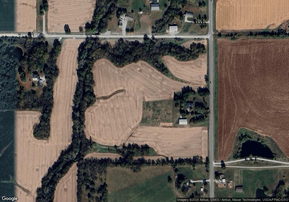
This home is located at 1039 Highway T17, Pella, IA 50219 and is currently estimated at $602,244, approximately $323 per square foot. 1039 Highway T17 is a home located in Marion County with nearby schools including Pella High School, Pella Christian Grade School, and Peoria Christian School.
Ownership History
Date
Name
Owned For
Owner Type
Purchase Details
Closed on
Jan 5, 2016
Sold by
Nossaman Kenneth E and Nossaman Marla B
Bought by
Nossaman Kenneth E and Nossaman Marla B
Current Estimated Value
Create a Home Valuation Report for This Property
The Home Valuation Report is an in-depth analysis detailing your home's value as well as a comparison with similar homes in the area
Home Values in the Area
Average Home Value in this Area
Purchase History
| Date | Buyer | Sale Price | Title Company |
|---|---|---|---|
| Nossaman Kenneth E | -- | None Available |
Source: Public Records
Tax History Compared to Growth
Tax History
| Year | Tax Paid | Tax Assessment Tax Assessment Total Assessment is a certain percentage of the fair market value that is determined by local assessors to be the total taxable value of land and additions on the property. | Land | Improvement |
|---|---|---|---|---|
| 2025 | $5,746 | $472,530 | $57,760 | $414,770 |
| 2024 | $5,746 | $457,590 | $42,320 | $415,270 |
| 2023 | $5,574 | $457,590 | $42,320 | $415,270 |
| 2022 | $5,708 | $386,650 | $34,730 | $351,920 |
| 2021 | $5,708 | $366,840 | $34,730 | $332,110 |
| 2020 | $5,410 | $353,816 | $37,996 | $315,820 |
Source: Public Records
Map
Nearby Homes
- 1714 Neil Dr
- 2123 Idaho Dr
- 2129 Idaho Dr
- 227 E 8th St
- 304 E 3rd St Unit 9
- 201 E 13th St
- 116 E 14th St
- 210 E 12th St
- 415 Main St Unit 2B
- 2312 Drenthe Laan
- 220 E 13th St
- 708 & 710 Independence St
- 2506 Scholte Straat
- 511 Union St
- 2310 Bos Landen Dr
- 301 Union St
- 123 Timber Ridge Dr
- 1112 Liberty St
- 505 Vintage Ln Unit 15
- 505 Vintage Ln Unit 8
- 1054 Highway T17
- 1054 Highway T17
- 1053 Highway T17
- 1019 Highway T17
- 2287 Illinois Dr
- 1015 Highway T17
- 1062 Highway T17
- 1062 Highway T17
- 1062 Highway T17
- 1052 Highway T17
- 1014 Highway T17
- 2268 Illinois Dr
- 1011 Highway T17
- 1066 Highway T17
- 1066 Highway T17
- 1075 Highway T17
- 1046 Highway T17
- 1093 Highway T17
- 1081 Highway T17
- 1076 Highway T17
