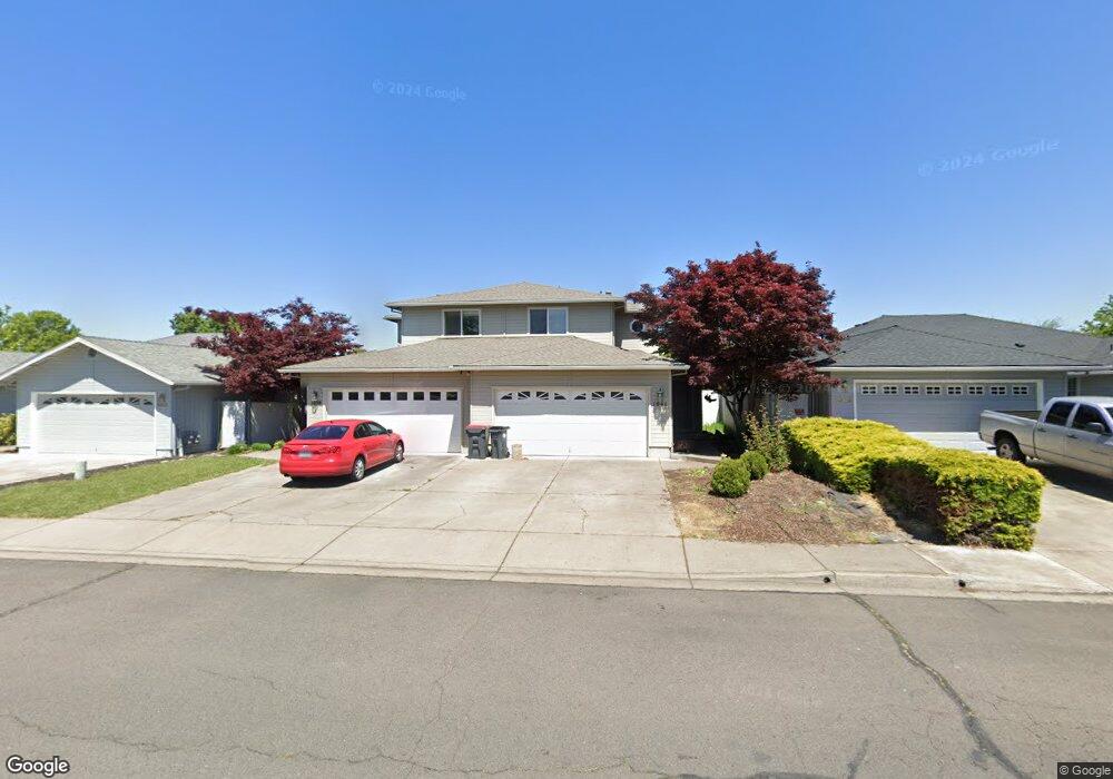
1039 Hopkins Rd Central Point, OR 97502
Estimated Value: $513,520 - $574,000
4
Beds
3
Baths
2,736
Sq Ft
$199/Sq Ft
Est. Value
About This Home
This home is located at 1039 Hopkins Rd, Central Point, OR 97502 and is currently estimated at $544,880, approximately $199 per square foot. 1039 Hopkins Rd is a home located in Jackson County with nearby schools including Central Point Elementary School, Scenic Middle School, and Crater High School.
Ownership History
Date
Name
Owned For
Owner Type
Purchase Details
Closed on
Sep 26, 2001
Sold by
Decarlow Homes Inc
Bought by
Williams David W and Williams Wendy S
Current Estimated Value
Purchase Details
Closed on
May 12, 1999
Sold by
Oliver Vivian T and Oliver Vivian T
Bought by
Fierke William G and Fierke Sandra
Home Financials for this Owner
Home Financials are based on the most recent Mortgage that was taken out on this home.
Original Mortgage
$127,000
Interest Rate
6.94%
Mortgage Type
Purchase Money Mortgage
Create a Home Valuation Report for This Property
The Home Valuation Report is an in-depth analysis detailing your home's value as well as a comparison with similar homes in the area
Home Values in the Area
Average Home Value in this Area
Purchase History
| Date | Buyer | Sale Price | Title Company |
|---|---|---|---|
| Williams David W | $53,900 | Jackson County Title | |
| Fierke William G | $164,000 | Amerititle |
Source: Public Records
Mortgage History
| Date | Status | Borrower | Loan Amount |
|---|---|---|---|
| Previous Owner | Fierke William G | $127,000 |
Source: Public Records
Tax History Compared to Growth
Tax History
| Year | Tax Paid | Tax Assessment Tax Assessment Total Assessment is a certain percentage of the fair market value that is determined by local assessors to be the total taxable value of land and additions on the property. | Land | Improvement |
|---|---|---|---|---|
| 2025 | $5,230 | $314,580 | $72,100 | $242,480 |
| 2024 | $5,230 | $305,420 | $70,000 | $235,420 |
| 2023 | $5,062 | $296,530 | $67,960 | $228,570 |
| 2022 | $4,944 | $296,530 | $67,960 | $228,570 |
| 2021 | $4,803 | $287,900 | $65,980 | $221,920 |
| 2020 | $4,662 | $279,520 | $64,060 | $215,460 |
| 2019 | $4,548 | $263,480 | $60,380 | $203,100 |
| 2018 | $4,409 | $255,810 | $58,620 | $197,190 |
| 2017 | $4,298 | $255,810 | $58,620 | $197,190 |
| 2016 | $4,173 | $241,130 | $55,250 | $185,880 |
| 2015 | $4,060 | $241,130 | $55,250 | $185,880 |
| 2014 | $3,896 | $227,300 | $52,080 | $175,220 |
Source: Public Records
Map
Nearby Homes
- 928 Brandi Way
- 1060 Hopkins Rd
- 1025 Fairfield Ave
- 1017 Fairfield Ave
- 921 Pittview Ave
- 851 Juanita Way
- 571 Briarwood Dr
- 460 Federal Way
- 881 Westrop Dr
- 3496 Edella St
- 230 Peninger Rd
- 301 Freeman Rd Unit 100
- 301 Freeman Rd Unit 23
- 301 Freeman Rd Unit 85
- 555 Freeman Rd Unit 128
- 555 Freeman Rd Unit 146
- 555 Freeman Rd Unit 204
- 555 Freeman Rd Unit 209
- 1840 E Pine St
- 1600 E Pine St
- 1039 Hopkins Rd Unit 1041
- 1039 Hopkins -1041 Rd
- 1049 Hopkins Rd
- 1029 Hopkins Rd
- 991 Glengrove Ave
- 1040 Brandi Way
- 1030 Brandi Way
- 985 Glengrove Ave
- 1059 Hopkins 1061 Rd
- 1026 Brandi Way
- 1019 Hopkins Rd
- 1059 Hopkins Rd
- 1008 Brandi Way
- 1002 Brandi Way
- 1030 Hopkins Rd
- 1040 Hopkins Rd
- 1020 Hopkins Rd
- 959 Hopkins Rd
- 958 Brandi Way
- 1010 Coachman Dr