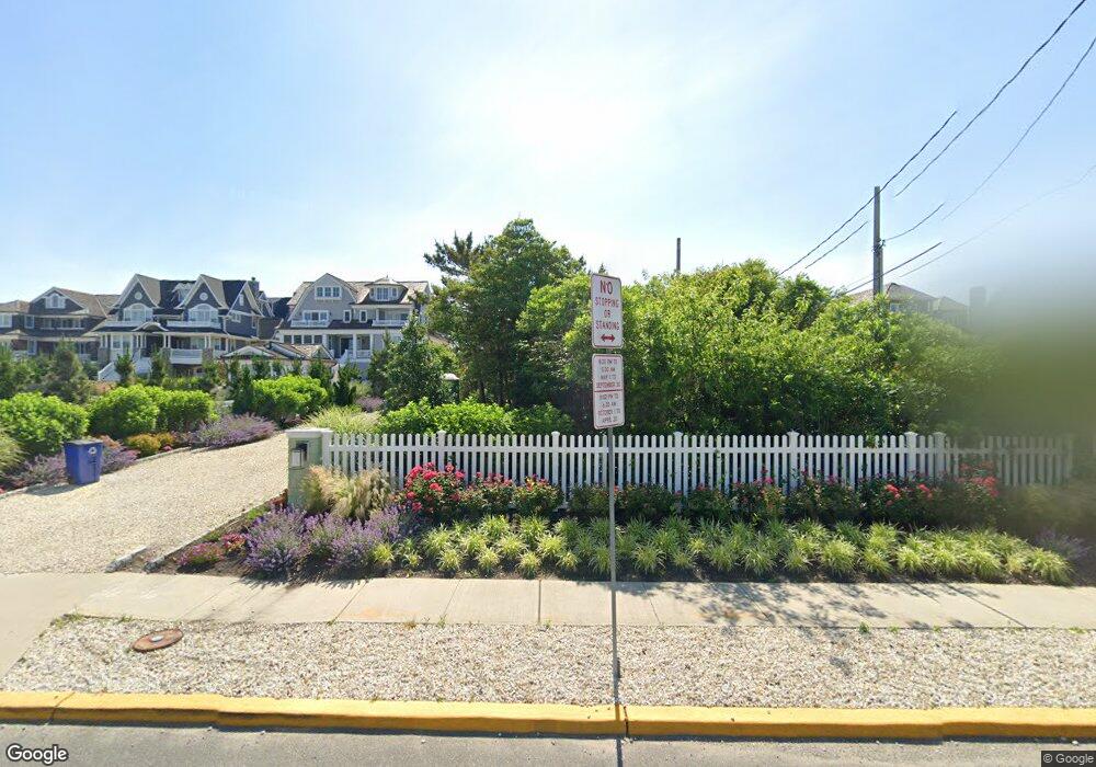
1039 Ocean Ave Mantoloking, NJ 08738
Estimated Value: $4,757,000 - $7,101,000
5
Beds
5
Baths
3,461
Sq Ft
$1,730/Sq Ft
Est. Value
About This Home
This home is located at 1039 Ocean Ave, Mantoloking, NJ 08738 and is currently estimated at $5,989,125, approximately $1,730 per square foot. 1039 Ocean Ave is a home located in Ocean County with nearby schools including G Harold Antrim Elementary School, Point Pleasant Beach High School, and St. Peter School.
Ownership History
Date
Name
Owned For
Owner Type
Purchase Details
Closed on
May 19, 2014
Sold by
Burke Stephen E
Bought by
Bay Head Montoloking Land Co
Current Estimated Value
Purchase Details
Closed on
Sep 21, 2000
Sold by
Watson William
Bought by
Hayes John and Hayes Kathleen
Home Financials for this Owner
Home Financials are based on the most recent Mortgage that was taken out on this home.
Original Mortgage
$1,000,000
Interest Rate
7.89%
Create a Home Valuation Report for This Property
The Home Valuation Report is an in-depth analysis detailing your home's value as well as a comparison with similar homes in the area
Home Values in the Area
Average Home Value in this Area
Purchase History
| Date | Buyer | Sale Price | Title Company |
|---|---|---|---|
| Bay Head Montoloking Land Co | -- | None Available | |
| Hayes John | $3,500,000 | -- | |
| Hayes John | $3,500,000 | -- |
Source: Public Records
Mortgage History
| Date | Status | Borrower | Loan Amount |
|---|---|---|---|
| Previous Owner | Hayes John | $1,000,000 |
Source: Public Records
Tax History Compared to Growth
Tax History
| Year | Tax Paid | Tax Assessment Tax Assessment Total Assessment is a certain percentage of the fair market value that is determined by local assessors to be the total taxable value of land and additions on the property. | Land | Improvement |
|---|---|---|---|---|
| 2025 | $34,779 | $4,053,500 | $2,541,000 | $1,512,500 |
| 2024 | $33,040 | $4,053,500 | $2,541,000 | $1,512,500 |
| 2023 | $27,265 | $4,049,000 | $2,541,000 | $1,508,000 |
| 2022 | $27,265 | $3,895,000 | $2,541,000 | $1,354,000 |
| 2021 | $27,421 | $3,895,000 | $2,541,000 | $1,354,000 |
| 2020 | $27,732 | $3,895,000 | $2,541,000 | $1,354,000 |
| 2019 | $27,343 | $3,895,000 | $2,541,000 | $1,354,000 |
| 2018 | $26,799 | $3,872,700 | $2,541,000 | $1,331,700 |
| 2017 | $26,993 | $3,872,700 | $2,541,000 | $1,331,700 |
| 2016 | $17,635 | $2,541,000 | $2,541,000 | $0 |
| 2015 | $17,355 | $2,541,000 | $2,541,000 | $0 |
| 2014 | $15,932 | $2,541,000 | $2,541,000 | $0 |
Source: Public Records
Map
Nearby Homes
- 1037 Ocean Ave
- 1041 Ocean Ave
- 1043 Ocean Ave
- 1033 Ocean Ave
- 1045 Ocean Ave
- 1035 Ocean Ave
- 1047 Ocean Ave
- 1031 Ocean Ave
- 1029 Ocean Ave
- 1049-1/2 Ocean Ave
- 1049 1/2 Ocean Ave
- 1037 Barnegat Ln
- 1033 Barnegat Ln
- 1041 Barnegat Ln
- 1049 Ocean Ave
- 1049 Ocean Ave Unit 1/2
- 1025 Barnegat Ln
- 1031 Barnegat Ln
- 1051 Ocean Ave
- 1027 Barnegat Ln