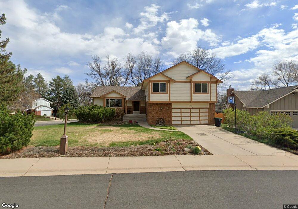
1039 Princeton Dr Longmont, CO 80503
Longmont Estates NeighborhoodEstimated Value: $687,000 - $775,000
3
Beds
3
Baths
2,308
Sq Ft
$312/Sq Ft
Est. Value
About This Home
This home is located at 1039 Princeton Dr, Longmont, CO 80503 and is currently estimated at $719,409, approximately $311 per square foot. 1039 Princeton Dr is a home located in Boulder County with nearby schools including Longmont Estates Elementary School, Westview Middle School, and Silver Creek High School.
Ownership History
Date
Name
Owned For
Owner Type
Purchase Details
Closed on
Oct 28, 1994
Sold by
Coombs Randy W and Coombs Kaila
Bought by
Thompson Stephen Patrick
Current Estimated Value
Home Financials for this Owner
Home Financials are based on the most recent Mortgage that was taken out on this home.
Original Mortgage
$162,000
Interest Rate
3.9%
Purchase Details
Closed on
Jul 1, 1991
Bought by
Thompson Stephen Patrick and Thompson Carol Sue
Purchase Details
Closed on
Aug 8, 1983
Bought by
Thompson Stephen Patrick and Thompson Carol Sue
Purchase Details
Closed on
Dec 22, 1982
Bought by
Thompson Stephen Patrick and Thompson Carol Sue
Create a Home Valuation Report for This Property
The Home Valuation Report is an in-depth analysis detailing your home's value as well as a comparison with similar homes in the area
Home Values in the Area
Average Home Value in this Area
Purchase History
| Date | Buyer | Sale Price | Title Company |
|---|---|---|---|
| Thompson Stephen Patrick | $202,500 | -- | |
| Thompson Stephen Patrick | $145,000 | -- | |
| Thompson Stephen Patrick | $128,500 | -- | |
| Thompson Stephen Patrick | $25,000 | -- |
Source: Public Records
Mortgage History
| Date | Status | Borrower | Loan Amount |
|---|---|---|---|
| Closed | Thompson Stephen Patrick | $162,000 |
Source: Public Records
Tax History Compared to Growth
Tax History
| Year | Tax Paid | Tax Assessment Tax Assessment Total Assessment is a certain percentage of the fair market value that is determined by local assessors to be the total taxable value of land and additions on the property. | Land | Improvement |
|---|---|---|---|---|
| 2025 | $4,098 | $42,187 | $11,306 | $30,881 |
| 2024 | $4,098 | $42,187 | $11,306 | $30,881 |
| 2023 | $4,042 | $42,840 | $12,616 | $33,909 |
| 2022 | $3,443 | $34,792 | $9,626 | $25,166 |
| 2021 | $3,487 | $35,793 | $9,903 | $25,890 |
| 2020 | $3,058 | $31,481 | $9,009 | $22,472 |
| 2019 | $3,010 | $31,481 | $9,009 | $22,472 |
| 2018 | $2,704 | $28,462 | $9,072 | $19,390 |
| 2017 | $2,667 | $31,466 | $10,030 | $21,436 |
| 2016 | $2,483 | $25,973 | $10,905 | $15,068 |
| 2015 | $2,366 | $21,675 | $5,811 | $15,864 |
| 2014 | $2,025 | $21,675 | $5,811 | $15,864 |
Source: Public Records
Map
Nearby Homes
- 1037 Purdue Dr
- 1013 Berkeley Ct
- 24 Cedar Ct
- 941 Reynolds Farm Ln Unit E8
- 1106 Purdue Dr
- 1379 Charles Dr
- 1379 Charles Dr Unit 7
- 1379 Charles Dr Unit 4
- 1379 Charles Dr Unit 5
- 1379 Charles Dr Unit 3
- 1262 Lanyon Ln
- 883 Widgeon Cir
- 2900 Troxell Ave
- 865 Widgeon Cir
- 1345 Northwestern Rd
- 2623 Elmhurst Cir
- 2810 Humboldt Cir
- 712 Wade Rd
- 825 Wade Rd
- 818 Hover St
- 1043 Princeton Dr
- 1036 Purdue Dr
- 1050 Fordham St
- 1042 Purdue Dr
- 1044 Fordham St
- 1107 Fordham St
- 1049 Princeton Dr
- 1056 Fordham St
- 1038 Fordham St
- 1048 Purdue Dr
- 1100 Fordham St
- 1055 Princeton Dr
- 1115 Fordham St
- 1050 Princeton Dr
- 59 Durian Ct
- 1106 Fordham St
- 53 Durian Ct
- 1054 Purdue Dr
- 47 Durian Ct
- 65 Durian Ct