1039 Willie Allen Ln McComb, MS 39648
Estimated Value: $80,611 - $214,000
--
Bed
--
Bath
982
Sq Ft
$138/Sq Ft
Est. Value
About This Home
This home is located at 1039 Willie Allen Ln, McComb, MS 39648 and is currently estimated at $135,153, approximately $137 per square foot. 1039 Willie Allen Ln is a home with nearby schools including Eva Gordon Lower Elementary School, Osyka Elementary School, and South Pike Junior High School.
Ownership History
Date
Name
Owned For
Owner Type
Purchase Details
Closed on
May 28, 2024
Sold by
Falgout Tayler Faith
Bought by
Reese Samuel Fonta
Current Estimated Value
Purchase Details
Closed on
Jul 25, 2005
Sold by
Ard Priscilla and Ard Freddie
Bought by
Smith Clyde C and Smith Derrick
Home Financials for this Owner
Home Financials are based on the most recent Mortgage that was taken out on this home.
Original Mortgage
$7,070
Interest Rate
5.51%
Mortgage Type
Purchase Money Mortgage
Create a Home Valuation Report for This Property
The Home Valuation Report is an in-depth analysis detailing your home's value as well as a comparison with similar homes in the area
Home Values in the Area
Average Home Value in this Area
Purchase History
| Date | Buyer | Sale Price | Title Company |
|---|---|---|---|
| Reese Samuel Fonta | -- | None Listed On Document | |
| Smith Clyde C | -- | None Available |
Source: Public Records
Mortgage History
| Date | Status | Borrower | Loan Amount |
|---|---|---|---|
| Previous Owner | Smith Clyde C | $7,070 |
Source: Public Records
Tax History Compared to Growth
Tax History
| Year | Tax Paid | Tax Assessment Tax Assessment Total Assessment is a certain percentage of the fair market value that is determined by local assessors to be the total taxable value of land and additions on the property. | Land | Improvement |
|---|---|---|---|---|
| 2025 | $22 | $168 | $0 | $0 |
| 2024 | $22 | $165 | $0 | $0 |
| 2023 | $22 | $171 | $0 | $0 |
| 2022 | $22 | $177 | $0 | $0 |
| 2021 | $101 | $2,429 | $0 | $0 |
| 2020 | $296 | $2,424 | $0 | $0 |
| 2019 | $291 | $2,424 | $0 | $0 |
| 2018 | $285 | $2,424 | $0 | $0 |
| 2017 | $289 | $2,424 | $0 | $0 |
| 2016 | $289 | $2,424 | $0 | $0 |
| 2015 | -- | $2,372 | $0 | $0 |
| 2014 | -- | $2,372 | $0 | $0 |
| 2013 | -- | $2,372 | $0 | $0 |
Source: Public Records
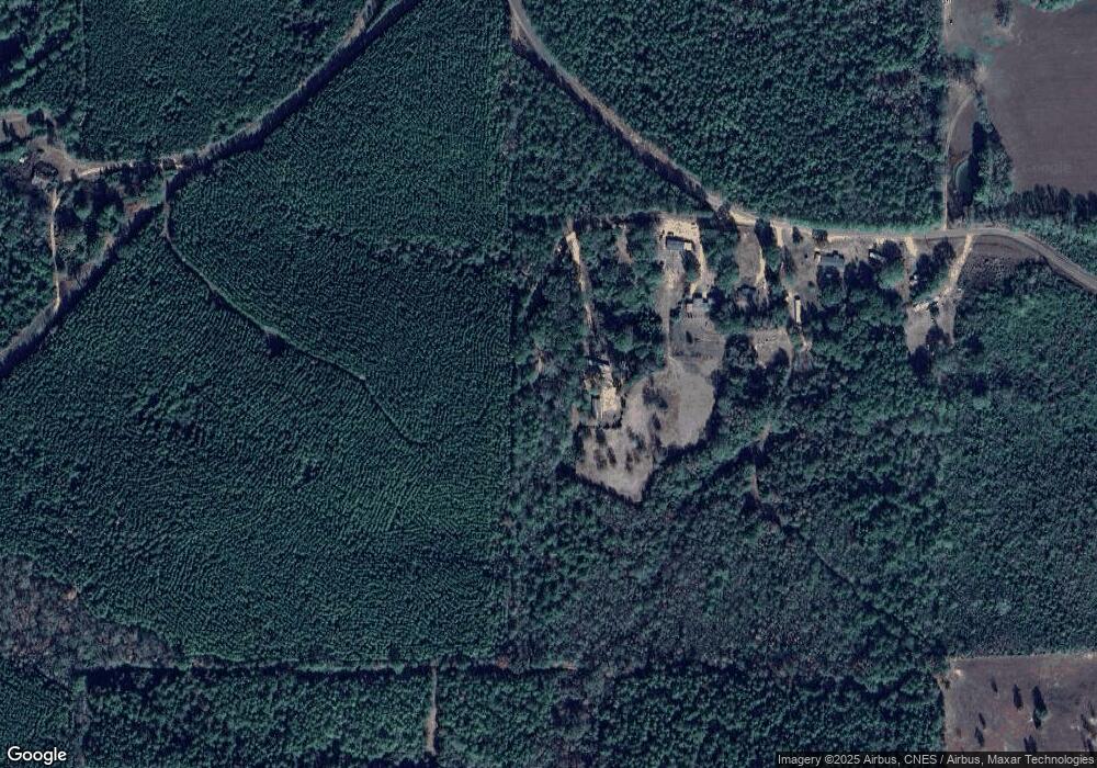
Map
Nearby Homes
- XXX Wa Walker Rd
- 3033 Barto Leggett Rd
- 2182 Barto Leggett Rd
- 1074 Pleasant Grove Rd
- 5089 U S 98
- 1031 Beck St
- 4022 Old Highway 24 Extension
- 1149 Dogwood Trail
- 5014 Leatherwood Rd
- 4134 U S 98
- tbd Hwy 48 Ea St
- tbd Hwy 48e
- 1135 Mudline Rd
- 0 Gibson Rd and Fortenberry Cir Unit 4128519
- 1002 Lawson Rd
- 1041 Fortenberry Cir
- 4115 Old Hwy 24
- 6121 Gibson Rd
- 7020 Gibson Rd
- 1106 Harrison Dr
- 1013 Willie Allen Ln
- 1003 Willie Allen Rd
- XXX Willie Allen Rd
- 1038 Willie Allen Rd
- 1064 Conerly Rd
- 1074 Conerly Rd
- 1080 Conerly Rd
- 11108 Highway 98 E
- 8074 Magnolia Holmesville Rd
- 8009 Magnolia Holmesville Rd
- 7099 Magnolia Holmesville Rd
- 8011 Magnolia Holmesville Rd
- 1091 James Community Rd
- 7033 Magnolia Holmesville Rd
- 1167 Conerly Rd
- 8024 Magnolia Holmesville Rd
- 1075 James Community Rd
- 6141 Magnolia Holmesville Rd
- 9073 Old Highway 24
- 1073 James Community Rd