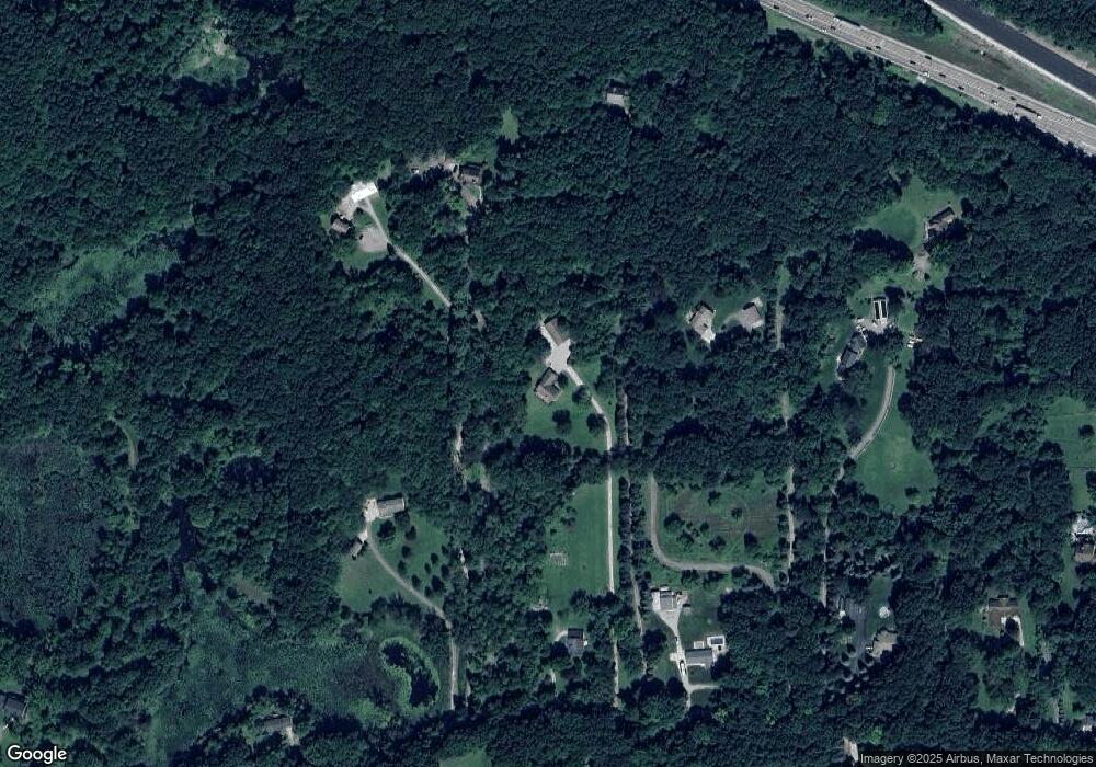
10390 Clark Rd Davisburg, MI 48350
Estimated Value: $385,000 - $521,417
--
Bed
2
Baths
1,680
Sq Ft
$275/Sq Ft
Est. Value
About This Home
This home is located at 10390 Clark Rd, Davisburg, MI 48350 and is currently estimated at $461,604, approximately $274 per square foot. 10390 Clark Rd is a home located in Oakland County with nearby schools including Andersonville Elementary School.
Ownership History
Date
Name
Owned For
Owner Type
Purchase Details
Closed on
Mar 13, 2023
Sold by
Kiester Michael E and Kiester Mary B
Bought by
Kiester Family Revocable Living Trust
Current Estimated Value
Purchase Details
Closed on
Nov 7, 2019
Sold by
Coe Rossie D and Coe Janet A
Bought by
Coe Rossie Dwight and Coe Janet Ann
Purchase Details
Closed on
Mar 3, 1998
Sold by
Ewing Eugene
Bought by
Kiester Michael E
Home Financials for this Owner
Home Financials are based on the most recent Mortgage that was taken out on this home.
Original Mortgage
$65,600
Interest Rate
7.09%
Create a Home Valuation Report for This Property
The Home Valuation Report is an in-depth analysis detailing your home's value as well as a comparison with similar homes in the area
Home Values in the Area
Average Home Value in this Area
Purchase History
| Date | Buyer | Sale Price | Title Company |
|---|---|---|---|
| Kiester Family Revocable Living Trust | -- | -- | |
| Coe Rossie Dwight | -- | None Available | |
| Coe Rossie Dwight | -- | None Available | |
| Kiester Michael E | $82,000 | -- |
Source: Public Records
Mortgage History
| Date | Status | Borrower | Loan Amount |
|---|---|---|---|
| Previous Owner | Kiester Michael E | $65,600 |
Source: Public Records
Tax History Compared to Growth
Tax History
| Year | Tax Paid | Tax Assessment Tax Assessment Total Assessment is a certain percentage of the fair market value that is determined by local assessors to be the total taxable value of land and additions on the property. | Land | Improvement |
|---|---|---|---|---|
| 2024 | $3,120 | $246,270 | $0 | $0 |
| 2023 | $2,976 | $233,260 | $0 | $0 |
| 2022 | $4,128 | $202,670 | $0 | $0 |
| 2021 | $3,796 | $187,580 | $0 | $0 |
| 2020 | $2,724 | $170,900 | $0 | $0 |
| 2018 | $3,672 | $163,300 | $36,100 | $127,200 |
| 2015 | -- | $137,100 | $0 | $0 |
| 2014 | -- | $118,700 | $0 | $0 |
| 2011 | -- | $111,900 | $0 | $0 |
Source: Public Records
Map
Nearby Homes
- 9830 Oak Valley Dr Unit 24
- 6910 Ridgewood Rd
- 9751 Kingston Pointe Dr Unit 20
- 11300 Andersonville Rd
- 7565 Old Pond Dr
- 11236 Chyna Run
- 10001 Quarry Ridge Rd
- 10008 Quarry Ridge Rd
- 9765 Dixie Hwy
- 9266 Hillcrest
- 10418 King Rd
- 10438 King Rd
- 0 Dixie Hwy Unit 20251027429
- 6181 Neilson
- 9876 Dixie Hwy
- 9099 Bavarian Way
- 7644 Dilley Rd
- 9085 Bavarian Way
- 10086 King Rd
- 11589 Ember
