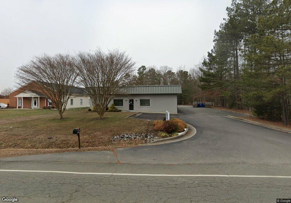
10392 Dow Gil Rd Ashland, VA 23005
Estimated Value: $682,501
--
Bed
--
Bath
3,750
Sq Ft
$182/Sq Ft
Est. Value
About This Home
This home is located at 10392 Dow Gil Rd, Ashland, VA 23005 and is currently estimated at $682,501, approximately $182 per square foot. 10392 Dow Gil Rd is a home located in Hanover County with nearby schools including Elmont Elementary School, Liberty Middle School, and Patrick Henry High School.
Ownership History
Date
Name
Owned For
Owner Type
Purchase Details
Closed on
Feb 20, 2019
Sold by
Sculthorpe P Douglas and Casstevens John E
Bought by
Ccy Llc
Current Estimated Value
Home Financials for this Owner
Home Financials are based on the most recent Mortgage that was taken out on this home.
Original Mortgage
$359,805
Outstanding Balance
$315,688
Interest Rate
4.4%
Mortgage Type
Commercial
Estimated Equity
$366,813
Create a Home Valuation Report for This Property
The Home Valuation Report is an in-depth analysis detailing your home's value as well as a comparison with similar homes in the area
Home Values in the Area
Average Home Value in this Area
Purchase History
| Date | Buyer | Sale Price | Title Company |
|---|---|---|---|
| Ccy Llc | $423,300 | Attorney |
Source: Public Records
Mortgage History
| Date | Status | Borrower | Loan Amount |
|---|---|---|---|
| Open | Ccy Llc | $359,805 |
Source: Public Records
Tax History Compared to Growth
Tax History
| Year | Tax Paid | Tax Assessment Tax Assessment Total Assessment is a certain percentage of the fair market value that is determined by local assessors to be the total taxable value of land and additions on the property. | Land | Improvement |
|---|---|---|---|---|
| 2025 | $4,415 | $545,100 | $152,800 | $392,300 |
| 2024 | $4,415 | $545,100 | $152,800 | $392,300 |
| 2023 | $3,832 | $497,700 | $147,900 | $349,800 |
| 2022 | $4,031 | $497,700 | $147,900 | $349,800 |
| 2021 | $3,639 | $449,300 | $147,900 | $301,400 |
| 2020 | $3,639 | $449,300 | $147,900 | $301,400 |
| 2019 | $3,429 | $423,300 | $138,000 | $285,300 |
| 2018 | $3,429 | $423,300 | $138,000 | $285,300 |
| 2017 | $3,429 | $423,300 | $138,000 | $285,300 |
| 2016 | $3,429 | $423,300 | $138,000 | $285,300 |
| 2015 | $3,353 | $413,900 | $123,000 | $290,900 |
| 2014 | $3,353 | $413,900 | $123,000 | $290,900 |
Source: Public Records
Map
Nearby Homes
- 10439 Ashcake Rd
- 6 Courtside Ln
- 117 Giddy-Up Ln
- MM Taft (Lee Parcel A-1) Rd
- 2051 Asher (Lot 1) Dr
- 709 Virginia St
- 126 Arlington Square
- 323 Myrtle St
- 801 S Center St
- 11236 Gwathmey Church Rd
- 302 Myrtle St Unit F
- 297 Robinson St
- 20 Trotter Mill Close
- 826 Sweet Tessa Dr
- 606 S James St
- 0 E Patrick St
- 205 Henry Clay Rd
- 10520 Orchard Blossom Dr
- Lot 73 Lauradell Rd
- 10036 Johnson Town Rd
- 10384 Dow Gil Rd
- 10385 Dow Gil Rd
- 285 Dow Gil Rd
- 10395 Dow Gil Rd
- 10412 Dow Gil Rd
- 10401 Dow Gil Rd
- 10405 Dow Gil Rd
- 10430 Dow Gil Rd
- 12100 Grandview Hill Ct
- 12324 Kilbourne Hill Dr
- 12328 Kilbourne Hill Dr
- 10417 Dow Gil Rd
- 10423 Dow Gil Rd
- 10448 Dow Gil Rd
- 10427 Dow Gil Rd
- 351 Hill Carter Pkwy
- 10518 Ashcake Rd
- 10511 Ashcake Rd
- 10451 Dow Gil Rd
- 000 Ashcake Rd