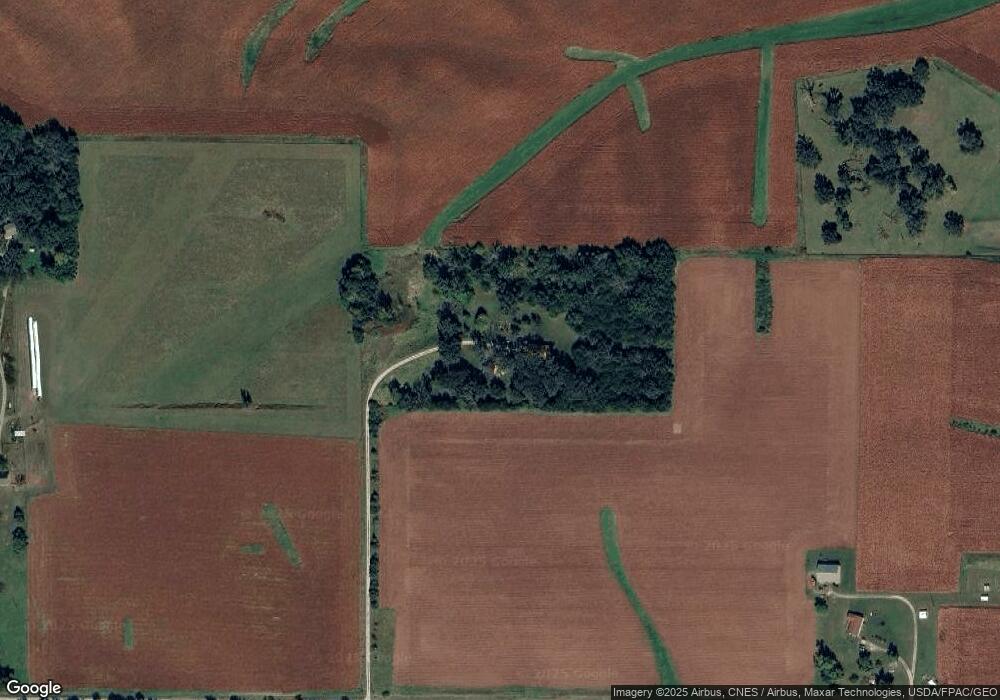
10392 N 19th Ave W Colfax, IA 50054
Estimated Value: $338,000 - $533,597
3
Beds
2
Baths
1,829
Sq Ft
$233/Sq Ft
Est. Value
About This Home
This home is located at 10392 N 19th Ave W, Colfax, IA 50054 and is currently estimated at $425,899, approximately $232 per square foot. 10392 N 19th Ave W is a home located in Jasper County with nearby schools including Colfax-Mingo Elementary School and Colfax-Mingo High School.
Ownership History
Date
Name
Owned For
Owner Type
Purchase Details
Closed on
Feb 12, 2021
Sold by
Hewitt Vickie Jo
Bought by
Julin Ramen D and Julin Emily A
Current Estimated Value
Home Financials for this Owner
Home Financials are based on the most recent Mortgage that was taken out on this home.
Original Mortgage
$323,200
Outstanding Balance
$289,067
Interest Rate
2.7%
Mortgage Type
New Conventional
Estimated Equity
$136,832
Create a Home Valuation Report for This Property
The Home Valuation Report is an in-depth analysis detailing your home's value as well as a comparison with similar homes in the area
Home Values in the Area
Average Home Value in this Area
Purchase History
| Date | Buyer | Sale Price | Title Company |
|---|---|---|---|
| Julin Ramen D | $404,000 | None Available |
Source: Public Records
Mortgage History
| Date | Status | Borrower | Loan Amount |
|---|---|---|---|
| Open | Julin Ramen D | $323,200 |
Source: Public Records
Tax History Compared to Growth
Tax History
| Year | Tax Paid | Tax Assessment Tax Assessment Total Assessment is a certain percentage of the fair market value that is determined by local assessors to be the total taxable value of land and additions on the property. | Land | Improvement |
|---|---|---|---|---|
| 2025 | $4,986 | $451,320 | $109,100 | $342,220 |
| 2024 | $4,986 | $371,260 | $67,480 | $303,780 |
| 2023 | $4,830 | $371,260 | $67,480 | $303,780 |
| 2022 | $4,276 | $295,170 | $67,480 | $227,690 |
| 2021 | $3,970 | $277,040 | $67,480 | $209,560 |
| 2020 | $3,970 | $246,180 | $52,160 | $194,020 |
| 2019 | $3,766 | $216,560 | $0 | $0 |
| 2018 | $3,766 | $216,560 | $0 | $0 |
| 2017 | $3,778 | $216,560 | $0 | $0 |
| 2016 | $3,778 | $216,560 | $0 | $0 |
| 2015 | $3,772 | $213,000 | $0 | $0 |
| 2014 | $3,476 | $213,000 | $0 | $0 |
Source: Public Records
Map
Nearby Homes
- HWY 117 at Intersection of Fleet Ave
- 11213 Orchard Ave
- W 120th St S
- 00 W 120th St S
- 300 E Front St
- 0 W 120th St S
- 200 Jefferson St
- 108 N West St
- 0000 Lincoln St
- 655 E Division St
- 20 S Oak Park Ave
- 108 S Walnut St
- 119 W Washington St
- 222 E Broadway St
- 34 E Broadway St
- 1096 W 124th St S
- 223 W Broadway St
- 226 S Iowa St
- 501 W Broadway St
- 215 W Spring St