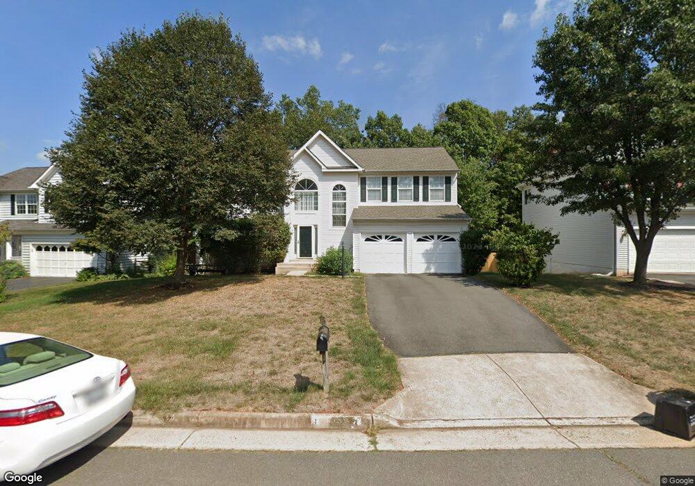
10393 Lime Tree Ct Manassas, VA 20110
Estimated Value: $684,956 - $858,000
4
Beds
4
Baths
2,208
Sq Ft
$336/Sq Ft
Est. Value
About This Home
This home is located at 10393 Lime Tree Ct, Manassas, VA 20110 and is currently estimated at $742,239, approximately $336 per square foot. 10393 Lime Tree Ct is a home located in Prince William County with nearby schools including Bennett Elementary School, Parkside Middle School, and Brentsville District High School.
Ownership History
Date
Name
Owned For
Owner Type
Purchase Details
Closed on
Sep 11, 1998
Sold by
Richmond American Homes Of Va
Bought by
Brunston Russell G and Brunston Elisabeth A
Current Estimated Value
Home Financials for this Owner
Home Financials are based on the most recent Mortgage that was taken out on this home.
Original Mortgage
$195,900
Interest Rate
6.92%
Mortgage Type
New Conventional
Create a Home Valuation Report for This Property
The Home Valuation Report is an in-depth analysis detailing your home's value as well as a comparison with similar homes in the area
Home Values in the Area
Average Home Value in this Area
Purchase History
| Date | Buyer | Sale Price | Title Company |
|---|---|---|---|
| Brunston Russell G | $206,240 | -- |
Source: Public Records
Mortgage History
| Date | Status | Borrower | Loan Amount |
|---|---|---|---|
| Open | Brunston Russell G | $322,333 | |
| Closed | Brunston Russell G | $125,706 | |
| Closed | Brunston Russell G | $195,900 |
Source: Public Records
Tax History
| Year | Tax Paid | Tax Assessment Tax Assessment Total Assessment is a certain percentage of the fair market value that is determined by local assessors to be the total taxable value of land and additions on the property. | Land | Improvement |
|---|---|---|---|---|
| 2025 | $5,723 | $617,000 | $189,400 | $427,600 |
| 2024 | $5,723 | $575,500 | $180,400 | $395,100 |
| 2023 | $5,650 | $543,000 | $165,100 | $377,900 |
| 2022 | $5,784 | $512,000 | $153,900 | $358,100 |
| 2021 | $5,509 | $450,900 | $130,200 | $320,700 |
| 2020 | $6,589 | $425,100 | $119,400 | $305,700 |
| 2019 | $6,577 | $424,300 | $119,400 | $304,900 |
| 2018 | $4,830 | $400,000 | $113,700 | $286,300 |
| 2017 | $4,790 | $387,900 | $113,700 | $274,200 |
| 2016 | $4,575 | $373,700 | $113,700 | $260,000 |
| 2015 | $4,431 | $370,200 | $113,700 | $256,500 |
| 2014 | $4,431 | $354,000 | $110,300 | $243,700 |
Source: Public Records
Map
Nearby Homes
- 10501 Winged Elm Cir
- 10165 Queens Way
- 10161 Queens Way
- 10283 Cedar Ridge Dr
- 10150 Queens Way
- 9539 Justin Ln
- 10416 Monterosa Place
- 9647 Branchview Ln
- 10245 Battlefield Dr
- 10391 Aragon Ct
- 9634 Branchview Ln
- 9820 Cheshire Ridge Cir
- 10485 Ratcliffe Trail
- 10312 Ratcliffe Trail
- 10441 Ratcliffe Trail
- 10436 Ratcliffe Trail
- 9440 Flowerden Ln
- 9725 Cheshire Ridge Cir
- 9610 Normanton Way
- 10162 Corydalis Ct
- 10389 Lime Tree Ct
- 10397 Lime Tree Ct
- 10080 Loblolly Trail
- 10396 Lime Tree Ct
- 10392 Lime Tree Ct
- 10388 Lime Tree Ct
- 10366 Lemon Tree Ct
- 10362 Lemon Tree Ct
- 10381 Lime Tree Ct
- 10358 Lemon Tree Ct
- 10384 Lime Tree Ct
- 10370 Lemon Tree Ct
- 10085 Loblolly Trail
- 10081 Loblolly Trail
- 10089 Loblolly Trail
- 10354 Lemon Tree Ct
- 10077 Loblolly Trail
- 10093 Loblolly Trail
- 10380 Lime Tree Ct
- 10377 Lime Tree Ct
Your Personal Tour Guide
Ask me questions while you tour the home.