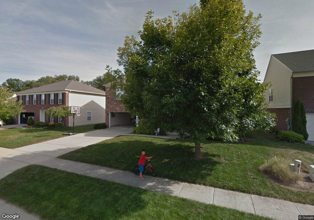
10395 Corning Way Fishers, IN 46038
Estimated Value: $433,000 - $514,000
4
Beds
4
Baths
3,684
Sq Ft
$128/Sq Ft
Est. Value
About This Home
This home is located at 10395 Corning Way, Fishers, IN 46038 and is currently estimated at $473,216, approximately $128 per square foot. 10395 Corning Way is a home located in Hamilton County with nearby schools including Cumberland Road Elementary School, East Middle School, and Fishers Junior High School.
Ownership History
Date
Name
Owned For
Owner Type
Purchase Details
Closed on
Feb 27, 2003
Sold by
C P Morgan Communities Lp
Bought by
Simpson John T and Simpson Carla L
Current Estimated Value
Home Financials for this Owner
Home Financials are based on the most recent Mortgage that was taken out on this home.
Original Mortgage
$110,000
Outstanding Balance
$47,944
Interest Rate
6.07%
Mortgage Type
Purchase Money Mortgage
Estimated Equity
$425,272
Create a Home Valuation Report for This Property
The Home Valuation Report is an in-depth analysis detailing your home's value as well as a comparison with similar homes in the area
Home Values in the Area
Average Home Value in this Area
Purchase History
| Date | Buyer | Sale Price | Title Company |
|---|---|---|---|
| Simpson John T | -- | -- |
Source: Public Records
Mortgage History
| Date | Status | Borrower | Loan Amount |
|---|---|---|---|
| Open | Simpson John T | $110,000 |
Source: Public Records
Tax History Compared to Growth
Tax History
| Year | Tax Paid | Tax Assessment Tax Assessment Total Assessment is a certain percentage of the fair market value that is determined by local assessors to be the total taxable value of land and additions on the property. | Land | Improvement |
|---|---|---|---|---|
| 2024 | $4,728 | $438,300 | $53,400 | $384,900 |
| 2023 | $4,763 | $411,600 | $53,400 | $358,200 |
| 2022 | $4,471 | $375,200 | $53,400 | $321,800 |
| 2021 | $3,773 | $315,000 | $53,400 | $261,600 |
| 2020 | $3,663 | $305,000 | $53,400 | $251,600 |
| 2019 | $3,559 | $296,600 | $42,000 | $254,600 |
| 2018 | $3,295 | $274,500 | $42,000 | $232,500 |
| 2017 | $2,854 | $243,500 | $42,000 | $201,500 |
| 2016 | $2,733 | $235,300 | $42,000 | $193,300 |
| 2014 | $2,355 | $219,400 | $42,000 | $177,400 |
| 2013 | $2,355 | $221,500 | $42,000 | $179,500 |
Source: Public Records
Map
Nearby Homes
- 13763 Meadow Lake Dr
- 10414 Bicknell Cir
- 10343 Waveland Cir
- 14041 Mimosa Ct
- 10270 Apple Blossom Cir
- 14243 Holly Berry Cir
- 10190 Holly Berry Cir
- 10093 Parkshore Dr
- 10523 Hollowood Ct
- 10055 Plantana Blvd
- 10175 Pamona Ct
- 10392 Cotton Blossom Dr
- 9984 Gentry Dr
- 9887 Cranberry Cir
- 9989 Worthington Blvd
- 14521 Stewart Cir
- 13853 Oak Grove Ct
- 9904 Worthington Blvd
- 10182 Orange Blossom Trail
- 10150 Beresford Ct
- 10401 Corning Way
- 10389 Corning Way
- 13801 Jennings Farm Ln
- 10407 Corning Way
- 13777 Jennings Farm Ln
- 10400 Corning Way
- 10388 Corning Way
- 10413 Corning Way
- 10383 Alice Ct
- 13783 Meadow Lake Dr
- 10382 Corning Way
- 13773 Meadow Lake Dr
- 10419 Corning Way
- 10412 Corning Way
- 13795 Meadow Lake Dr
- 10418 Corning Way
- 10377 Alice Ct
- 10399 Carlise Way
- 10393 Carlise Way
- 10405 Carlise Way