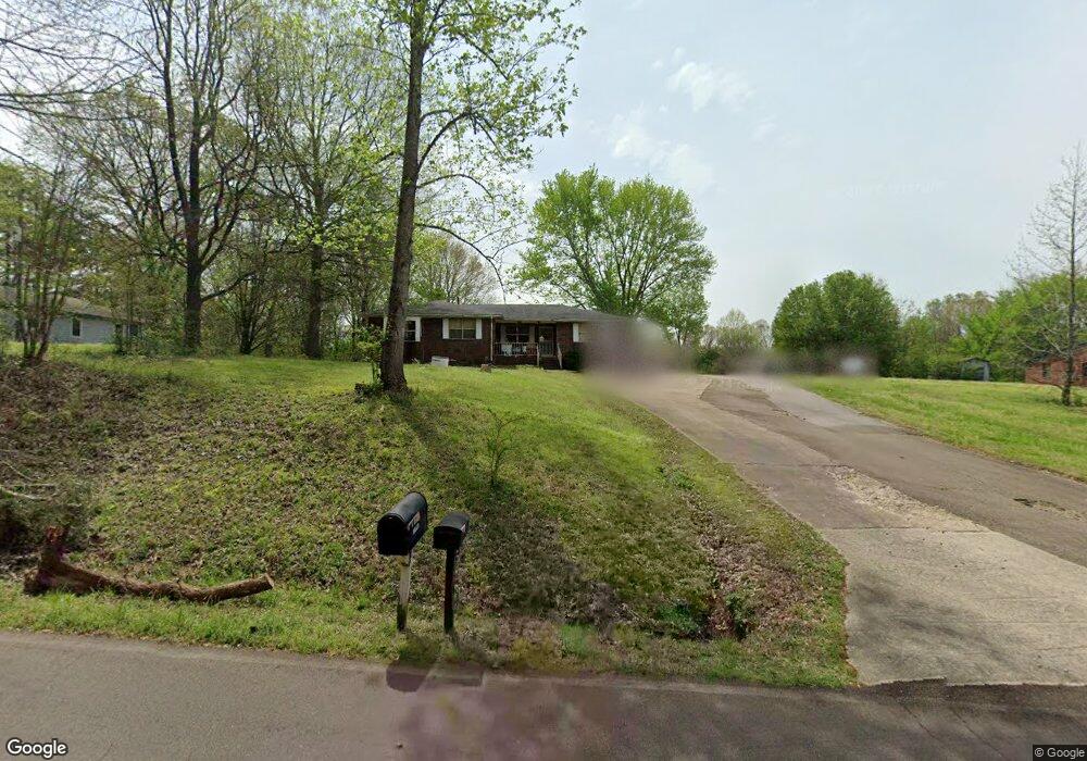
10395 Latting Rd Cordova, TN 38016
Gray's Creek NeighborhoodEstimated Value: $238,182 - $281,000
3
Beds
2
Baths
1,308
Sq Ft
$197/Sq Ft
Est. Value
About This Home
This home is located at 10395 Latting Rd, Cordova, TN 38016 and is currently estimated at $258,046, approximately $197 per square foot. 10395 Latting Rd is a home located in Shelby County with nearby schools including Macon-Hall Elementary School, Mt. Pisgah Middle School, and Bolton High School.
Ownership History
Date
Name
Owned For
Owner Type
Purchase Details
Closed on
Dec 4, 2001
Sold by
White Ola B
Bought by
White Eugene E
Current Estimated Value
Home Financials for this Owner
Home Financials are based on the most recent Mortgage that was taken out on this home.
Original Mortgage
$50,000
Interest Rate
6.6%
Create a Home Valuation Report for This Property
The Home Valuation Report is an in-depth analysis detailing your home's value as well as a comparison with similar homes in the area
Home Values in the Area
Average Home Value in this Area
Purchase History
| Date | Buyer | Sale Price | Title Company |
|---|---|---|---|
| White Eugene E | -- | -- |
Source: Public Records
Mortgage History
| Date | Status | Borrower | Loan Amount |
|---|---|---|---|
| Previous Owner | White Eugene E | $50,000 |
Source: Public Records
Tax History Compared to Growth
Tax History
| Year | Tax Paid | Tax Assessment Tax Assessment Total Assessment is a certain percentage of the fair market value that is determined by local assessors to be the total taxable value of land and additions on the property. | Land | Improvement |
|---|---|---|---|---|
| 2025 | $1,449 | $47,625 | $22,425 | $25,200 |
| 2024 | $1,449 | $42,750 | $22,425 | $20,325 |
| 2023 | $1,449 | $42,750 | $22,425 | $20,325 |
| 2022 | $1,449 | $42,750 | $22,425 | $20,325 |
| 2021 | $1,475 | $42,750 | $22,425 | $20,325 |
| 2020 | $1,473 | $36,375 | $20,200 | $16,175 |
| 2019 | $1,473 | $36,375 | $20,200 | $16,175 |
| 2018 | $1,473 | $36,375 | $20,200 | $16,175 |
| 2017 | $1,495 | $36,375 | $20,200 | $16,175 |
| 2016 | $1,524 | $34,875 | $0 | $0 |
| 2014 | $1,524 | $34,875 | $0 | $0 |
Source: Public Records
Map
Nearby Homes
- 10454 Latting Rd
- 1698 Pisgah Rd
- 1663 N Pisgah Rd
- 1636 Stable Run Dr
- 1649 Brimhill Ln
- 9960 Oban Dr
- 10879 Latting Rd
- 10481 Mabry Mill Rd
- 1898 Glen Turret Dr
- 9931 Chivas Dr
- 1830 Speyburn Cove
- 10021 Branley Oak Dr
- 10329 Cottage Oaks Dr
- 1832 Talisker Dr
- 10133 Lynham Dr
- 1818 N Houston Levee Rd
- 1802 N Houston Levee Rd
- 10098 Sutton Ridge Ln
- 1480 Pemberton Ln
- 10423 Redmond Dr
- 10391 Latting Rd
- 10425 Latting Rd
- 10387 Latting Rd
- 10414 Latting Rd
- 10388 Latting Rd
- 10370 Latting Rd
- 10430 Latting Rd
- 10450 Latting Rd
- 10480 Latting Rd
- 2070 Clarke Landing Dr
- 10435 Latting Rd
- 10490 Latting Rd
- 10495 Latting Rd
- 10455 Latting Rd
- 10522 Latting Rd
- 10487 Latting Rd
- 10489 Latting Rd
- 2140 Clarke Landing Dr
- 10383 Latting Rd
- 10500 Jared Michael Ln