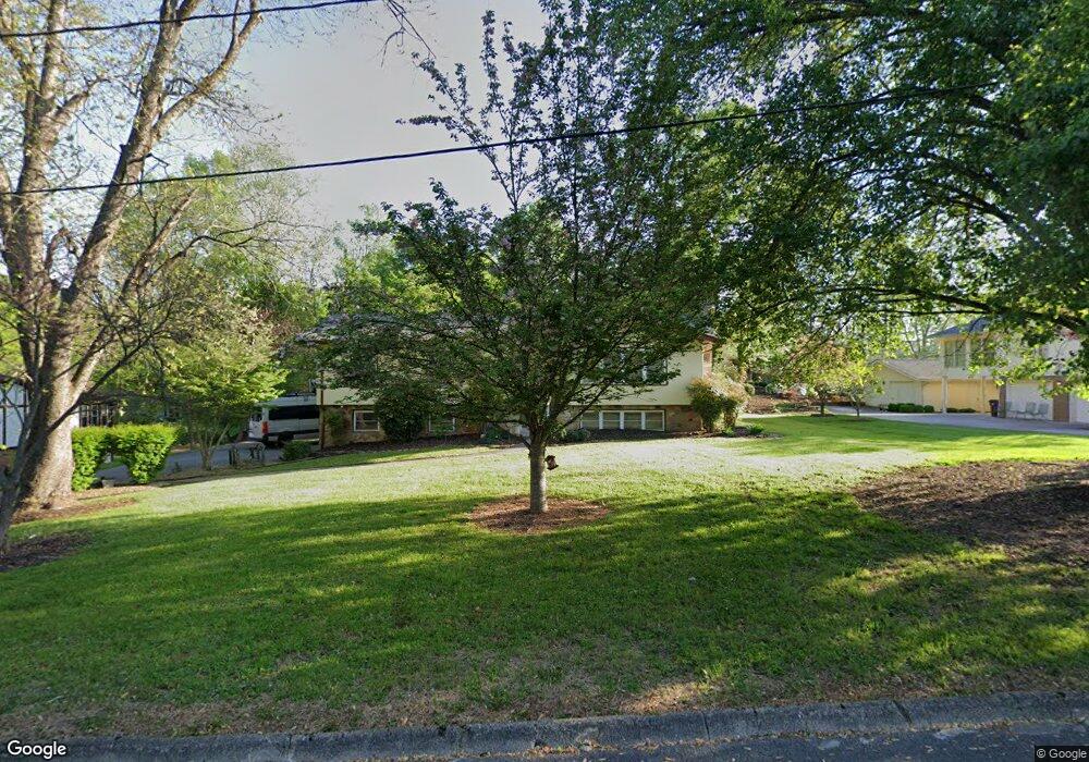
104 Albion Rd Oak Ridge, TN 37830
Estimated Value: $443,653 - $476,000
3
Beds
3
Baths
2,237
Sq Ft
$207/Sq Ft
Est. Value
About This Home
This home is located at 104 Albion Rd, Oak Ridge, TN 37830 and is currently estimated at $462,663, approximately $206 per square foot. 104 Albion Rd is a home located in Anderson County with nearby schools including Woodland Elementary School, Jefferson Middle School, and Oak Ridge High School.
Ownership History
Date
Name
Owned For
Owner Type
Purchase Details
Closed on
Dec 13, 2013
Sold by
Carroll Timothy
Bought by
Carroll Susan M
Current Estimated Value
Purchase Details
Closed on
Sep 4, 2003
Sold by
Christenson Dale E and Christenson Julia
Bought by
Carroll Timothy and Carroll Susan M
Home Financials for this Owner
Home Financials are based on the most recent Mortgage that was taken out on this home.
Original Mortgage
$127,000
Interest Rate
5.94%
Purchase Details
Closed on
Nov 3, 1994
Sold by
Mckamey Areties
Bought by
Christenson Dale
Create a Home Valuation Report for This Property
The Home Valuation Report is an in-depth analysis detailing your home's value as well as a comparison with similar homes in the area
Home Values in the Area
Average Home Value in this Area
Purchase History
| Date | Buyer | Sale Price | Title Company |
|---|---|---|---|
| Carroll Susan M | -- | -- | |
| Carroll Susan M | -- | -- | |
| Carroll Timothy | $167,000 | -- | |
| Christenson Dale | $131,400 | -- |
Source: Public Records
Mortgage History
| Date | Status | Borrower | Loan Amount |
|---|---|---|---|
| Previous Owner | Christenson Dale | $127,000 |
Source: Public Records
Tax History Compared to Growth
Tax History
| Year | Tax Paid | Tax Assessment Tax Assessment Total Assessment is a certain percentage of the fair market value that is determined by local assessors to be the total taxable value of land and additions on the property. | Land | Improvement |
|---|---|---|---|---|
| 2024 | $1,238 | $50,425 | $11,025 | $39,400 |
| 2023 | $1,238 | $50,425 | $0 | $0 |
| 2022 | $2,405 | $50,425 | $11,025 | $39,400 |
| 2021 | $2,405 | $50,425 | $11,025 | $39,400 |
| 2020 | $2,153 | $50,425 | $11,025 | $39,400 |
| 2019 | $2,203 | $41,925 | $10,225 | $31,700 |
| 2018 | $2,153 | $41,925 | $10,225 | $31,700 |
| 2017 | $2,145 | $41,925 | $10,225 | $31,700 |
| 2016 | $2,145 | $41,925 | $10,225 | $31,700 |
| 2015 | -- | $41,925 | $10,225 | $31,700 |
| 2014 | -- | $41,925 | $10,225 | $31,700 |
| 2013 | -- | $46,375 | $0 | $0 |
Source: Public Records
Map
Nearby Homes
- 110 Balsam Rd
- 116 Baltimore Dr
- 111 Baypath Dr
- 42 Palisades Pkwy
- 103 Baltimore Dr
- 14 Rivers Ct
- 16 Belmont Ct
- 112 Chestnut Hill Rd
- 131 Clifton Cir
- 126 Clifton Cir
- 140 Brandeis Ln
- 780 Old Emory Rd
- 243 Bunch Ln
- 101 Concord Rd
- 219 Bunch Ln
- 125 Arcadia Ln Unit D
- 0 Rivers Run Blvd
- 126 Atlanta Rd
- 170 Cumberland View Dr
- 119 Aspen Ln