104 Ariel Cir Sutton, MA 01590
Estimated Value: $475,000 - $536,000
2
Beds
3
Baths
2,294
Sq Ft
$224/Sq Ft
Est. Value
About This Home
This home is located at 104 Ariel Cir, Sutton, MA 01590 and is currently estimated at $514,546, approximately $224 per square foot. 104 Ariel Cir is a home located in Worcester County with nearby schools including Sutton Elementary School, Sutton Middle School, and Sutton High School.
Ownership History
Date
Name
Owned For
Owner Type
Purchase Details
Closed on
Jun 7, 2016
Sold by
Edwards Michael H and Edwards Karin E
Bought by
Mcgrath Sean P and Nakashige Marissa M
Current Estimated Value
Home Financials for this Owner
Home Financials are based on the most recent Mortgage that was taken out on this home.
Original Mortgage
$251,910
Outstanding Balance
$199,534
Interest Rate
3.59%
Mortgage Type
New Conventional
Estimated Equity
$315,012
Purchase Details
Closed on
Aug 1, 2007
Sold by
Armida Inc and Sutton Llc
Bought by
Ariel Circle Llc and Edwards Michael H
Home Financials for this Owner
Home Financials are based on the most recent Mortgage that was taken out on this home.
Original Mortgage
$250,000
Interest Rate
6.73%
Mortgage Type
Purchase Money Mortgage
Create a Home Valuation Report for This Property
The Home Valuation Report is an in-depth analysis detailing your home's value as well as a comparison with similar homes in the area
Home Values in the Area
Average Home Value in this Area
Purchase History
| Date | Buyer | Sale Price | Title Company |
|---|---|---|---|
| Mcgrath Sean P | $279,900 | -- | |
| Ariel Circle Llc | -- | -- | |
| Edwards Karin E | $263,193 | -- | |
| Edwards Karin E | $263,193 | -- | |
| Ariel Circle Llc | -- | -- | |
| Ariel Circle Llc | -- | -- |
Source: Public Records
Mortgage History
| Date | Status | Borrower | Loan Amount |
|---|---|---|---|
| Open | Mcgrath Sean P | $251,910 | |
| Closed | Mcgrath Sean P | $251,910 | |
| Previous Owner | Edwards Karin E | $250,000 |
Source: Public Records
Tax History
| Year | Tax Paid | Tax Assessment Tax Assessment Total Assessment is a certain percentage of the fair market value that is determined by local assessors to be the total taxable value of land and additions on the property. | Land | Improvement |
|---|---|---|---|---|
| 2025 | $6,021 | $483,200 | $0 | $483,200 |
| 2024 | $5,330 | $413,500 | $0 | $413,500 |
| 2023 | $4,642 | $329,700 | $0 | $329,700 |
| 2022 | $4,976 | $320,600 | $0 | $320,600 |
| 2021 | $4,886 | $299,200 | $0 | $299,200 |
| 2020 | $4,892 | $299,200 | $0 | $299,200 |
| 2019 | $5,130 | $302,500 | $0 | $302,500 |
| 2018 | $4,344 | $255,400 | $0 | $255,400 |
| 2017 | $4,332 | $255,400 | $0 | $255,400 |
| 2016 | $4,322 | $252,000 | $0 | $252,000 |
| 2015 | $4,147 | $242,500 | $0 | $242,500 |
| 2014 | $4,025 | $230,800 | $0 | $230,800 |
Source: Public Records
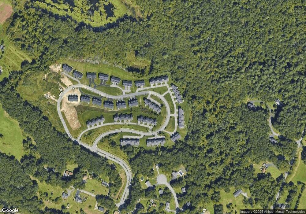
Map
Nearby Homes
- 66 Buttonwood Ave
- 8 Autumn Gate Cir
- 19 Fitzpatrick Rd
- Lot 1 Cooper Rd
- 9 Danielle Dr
- 109 Main St
- 46 Lexington Rd
- 64 Fisherville Terrace
- 62 Fisherville Terrace
- 58 Fisherville Terrace
- 79 Fisherville Terrace
- 53 Fisherville Terrace
- 55 Fisherville Terrace
- 44 Fisherville Terrace
- 20 Woodridge Rd
- 24 Cortland Way
- 14 Cortland Way
- 5 Wildflower Dr
- 2 Jessica j Dr
- 5 Mogren Dr
- 100 Ariel Cir Unit 68
- 100 Ariel Cir
- 102 Ariel Cir
- 106 Ariel Cir
- 102 Ariel Cir Unit 67
- 106 Ariel Cir Unit 65
- 104 Ariel Cir Unit 104
- 104 Ariel Cir Unit 66
- 132 Ariel Cir
- 134 Ariel Cir
- 136 Ariel Cir
- 138 Ariel Cir
- 136 Ariel Cir Unit 136
- 96 Ariel Cir
- 96 Ariel Cir
- 94 Ariel Cir
- 94 Ariel Cir Unit 70
- 90 Ariel Cir
- 92 Ariel Cir Unit 71
- 92 Ariel Cir
Your Personal Tour Guide
Ask me questions while you tour the home.