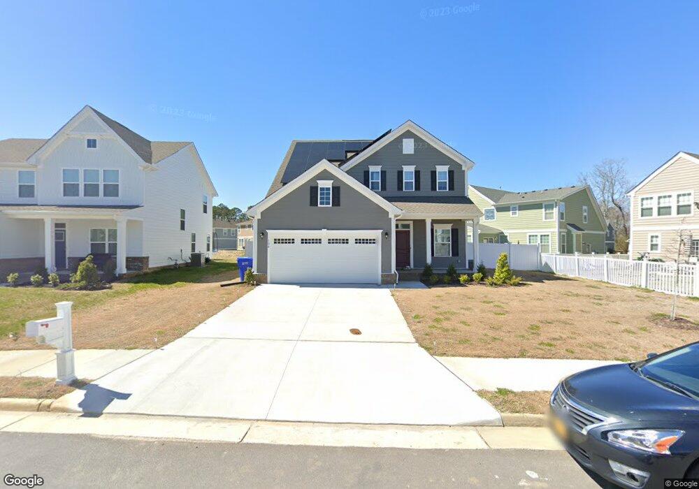
104 Brookside Ln Unit 65 Suffolk, VA 23434
Holy Neck NeighborhoodEstimated Value: $445,921 - $475,000
4
Beds
3
Baths
2,114
Sq Ft
$216/Sq Ft
Est. Value
About This Home
This home is located at 104 Brookside Ln Unit 65, Suffolk, VA 23434 and is currently estimated at $456,980, approximately $216 per square foot. 104 Brookside Ln Unit 65 is a home located in Suffolk City with nearby schools including Elephant's Fork Elementary School, King's Fork Middle School, and King's Fork High School.
Ownership History
Date
Name
Owned For
Owner Type
Purchase Details
Closed on
Jun 6, 2022
Sold by
Nvr Inc
Bought by
Josiah Keyana Desouza and Josiah Jermaine Akeem
Current Estimated Value
Home Financials for this Owner
Home Financials are based on the most recent Mortgage that was taken out on this home.
Original Mortgage
$461,342
Outstanding Balance
$438,313
Interest Rate
5.1%
Mortgage Type
VA
Estimated Equity
$18,667
Purchase Details
Closed on
Dec 2, 2021
Sold by
Kirk-Old Ff Llc
Bought by
Nvr Inc
Purchase Details
Closed on
Oct 20, 2021
Sold by
Hearndon Pr Builders Llc
Bought by
Kirk-Old Ff Llc
Create a Home Valuation Report for This Property
The Home Valuation Report is an in-depth analysis detailing your home's value as well as a comparison with similar homes in the area
Home Values in the Area
Average Home Value in this Area
Purchase History
| Date | Buyer | Sale Price | Title Company |
|---|---|---|---|
| Josiah Keyana Desouza | $450,970 | None Listed On Document | |
| Nvr Inc | $3,128,000 | Nvr Settlement Services Inc | |
| Kirk-Old Ff Llc | $1,866,782 | Equity Title Company Llc |
Source: Public Records
Mortgage History
| Date | Status | Borrower | Loan Amount |
|---|---|---|---|
| Open | Josiah Keyana Desouza | $461,342 |
Source: Public Records
Tax History Compared to Growth
Tax History
| Year | Tax Paid | Tax Assessment Tax Assessment Total Assessment is a certain percentage of the fair market value that is determined by local assessors to be the total taxable value of land and additions on the property. | Land | Improvement |
|---|---|---|---|---|
| 2024 | $4,998 | $385,700 | $85,000 | $300,700 |
| 2023 | $4,520 | $381,800 | $85,000 | $296,800 |
| 2022 | $3,571 | $327,600 | $85,000 | $242,600 |
| 2021 | $877 | $79,000 | $79,000 | $0 |
| 2020 | $877 | $79,000 | $79,000 | $0 |
| 2019 | $877 | $79,000 | $79,000 | $0 |
Source: Public Records
Map
Nearby Homes
- 127 Brookside Ln
- 435 Terrywood Dr
- 814 General Pickett Dr
- 807 General Pickett Dr
- 852 Craig Dr
- 1315 Pitchkettle Farm Ln
- 137 Preserve Way
- 4016 Harvest Reach Ln
- 2001 Fieldstone Ln
- 207 Preserve Way
- 205 Preserve Way
- 1145 Egret Ln
- 1125 Egret Ln
- 1141 Egret Ln
- 1143 Egret Ln
- 1142 Egret Ln
- 1133 Egret Ln
- 1123 Egret Ln
- 1108 Egret Ln
- 124 Abbey Rd
- 106 Brookside Ln
- 403 Terrywood Dr
- 401 Terrywood Dr
- 108 Brookside Ln
- 405 Terrywood Dr
- 105 Brookside Ln
- 103 Brookside Ln
- 107 Brookside Ln
- 407 Terrywood Dr
- 110 Brookside Ln
- LT53 Terrywood Dr
- 109 Brookside Ln
- 409 Terrywood Dr
- 319 Terrywood Dr
- 402 Terrywood Dr
- 406 Terrywood Dr
- 404 Terrywood Dr
- 317 Terrywood Dr
- 408 Terrywood Dr
- 113 Brookside Ln