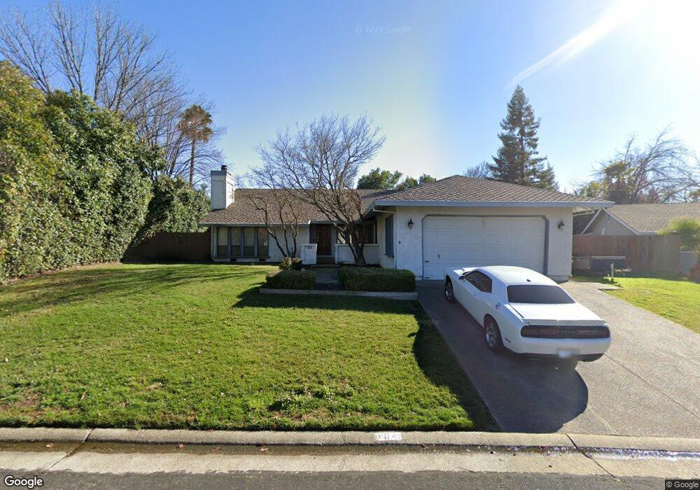
104 Buck Cir Unit 2B Folsom, CA 95630
American River Canyon NeighborhoodEstimated Value: $546,000 - $777,000
3
Beds
3
Baths
2,013
Sq Ft
$343/Sq Ft
Est. Value
About This Home
This home is located at 104 Buck Cir Unit 2B, Folsom, CA 95630 and is currently estimated at $689,764, approximately $342 per square foot. 104 Buck Cir Unit 2B is a home located in Sacramento County with nearby schools including Ottomon Way Elementary School, Louis Pasteur Fundamental Middle School, and Casa Roble Fundamental High School.
Ownership History
Date
Name
Owned For
Owner Type
Purchase Details
Closed on
Mar 21, 2005
Sold by
Lee David K and Lee Lorena A
Bought by
Lee Deekay David and Lee Lorena Angelina
Current Estimated Value
Home Financials for this Owner
Home Financials are based on the most recent Mortgage that was taken out on this home.
Original Mortgage
$359,600
Outstanding Balance
$184,237
Interest Rate
5.77%
Mortgage Type
New Conventional
Estimated Equity
$505,527
Purchase Details
Closed on
May 21, 2003
Sold by
Peterson John L and Peterson Kathleen
Bought by
Lee David K and Lee Lorena A
Home Financials for this Owner
Home Financials are based on the most recent Mortgage that was taken out on this home.
Original Mortgage
$234,000
Interest Rate
6.95%
Mortgage Type
Purchase Money Mortgage
Create a Home Valuation Report for This Property
The Home Valuation Report is an in-depth analysis detailing your home's value as well as a comparison with similar homes in the area
Home Values in the Area
Average Home Value in this Area
Purchase History
| Date | Buyer | Sale Price | Title Company |
|---|---|---|---|
| Lee Deekay David | -- | First American Title Ins Co | |
| Lee David K | $232,000 | Financial Title Company |
Source: Public Records
Mortgage History
| Date | Status | Borrower | Loan Amount |
|---|---|---|---|
| Open | Lee Deekay David | $359,600 | |
| Closed | Lee David K | $234,000 |
Source: Public Records
Tax History Compared to Growth
Tax History
| Year | Tax Paid | Tax Assessment Tax Assessment Total Assessment is a certain percentage of the fair market value that is determined by local assessors to be the total taxable value of land and additions on the property. | Land | Improvement |
|---|---|---|---|---|
| 2025 | $5,026 | $434,476 | $144,820 | $289,656 |
| 2024 | $5,026 | $425,958 | $141,981 | $283,977 |
| 2023 | $4,896 | $417,607 | $139,198 | $278,409 |
| 2022 | $4,869 | $409,419 | $136,469 | $272,950 |
| 2021 | $4,786 | $401,393 | $133,794 | $267,599 |
| 2020 | $4,696 | $397,279 | $132,423 | $264,856 |
| 2019 | $4,599 | $389,490 | $129,827 | $259,663 |
| 2018 | $4,545 | $381,854 | $127,282 | $254,572 |
| 2017 | $4,498 | $374,368 | $124,787 | $249,581 |
| 2016 | $4,225 | $367,029 | $122,341 | $244,688 |
| 2015 | $4,169 | $361,517 | $120,504 | $241,013 |
| 2014 | $4,084 | $354,436 | $118,144 | $236,292 |
Source: Public Records
Map
Nearby Homes
- 203 Crow Canyon Dr
- 103 S Fork Way
- 224 Oak Canyon Way
- 1122 River Rock Dr
- 116 Raeanne Ln
- 106 Oak Rim Way
- 6412 Benning St Unit 12B
- 6412 Benning St Unit 4A
- 6412 Benning St Unit 5B
- 6480 Main St Unit 32
- 7314 Santa Juanita Ave
- 119 Del Norte Vista Way
- 6132 Main Ave Unit 28
- 6013 Keats Cir
- 621 Landrise Ct
- 9340 Orangevale Ave Unit 36
- 9340 Orangevale Ave Unit 19
- 9340 Orangevale Ave Unit 25
- 103 Deerwood Way
- 303 Marsalla Dr
- 102 Buck Cir
- 106 Buck Cir
- 130 Oak Rock Cir
- 132 Oak Rock Cir
- 100 Buck Cir
- 103 Buck Cir
- 128 Oak Rock Cir
- 105 Buck Cir
- 108 Buck Cir
- 200 Crow Canyon Dr
- 152 Crow Canyon Dr
- 134 Oak Rock Cir
- 126 Oak Rock Cir
- 107 Buck Cir
- 204 Crow Canyon Dr
- 110 Buck Cir
- 137 Oak Rock Cir
- 148 Crow Canyon Dr
- 104 Horn Ct
- 133 Oak Rock Cir