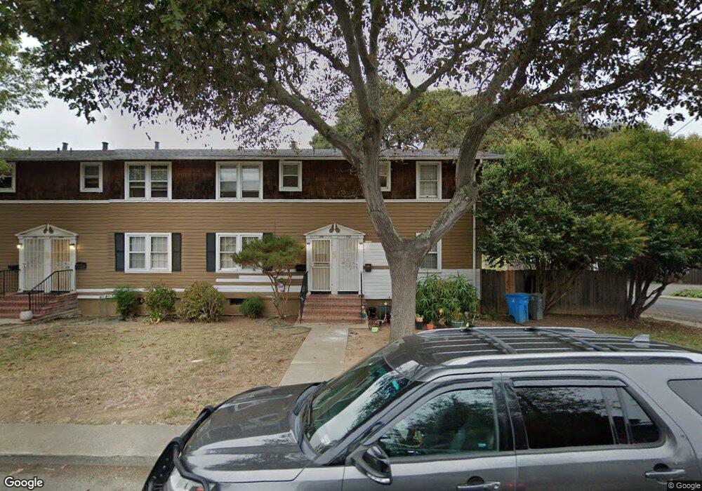
104 Calhoun St Vallejo, CA 94590
Vallejo Heights NeighborhoodEstimated Value: $261,000 - $300,000
3
Beds
1
Bath
988
Sq Ft
$288/Sq Ft
Est. Value
About This Home
This home is located at 104 Calhoun St, Vallejo, CA 94590 and is currently estimated at $284,704, approximately $288 per square foot. 104 Calhoun St is a home located in Solano County with nearby schools including Federal Terrace Elementary School, Vallejo High School, and Caliber: ChangeMakers Academy.
Ownership History
Date
Name
Owned For
Owner Type
Purchase Details
Closed on
Mar 22, 2010
Sold by
Long Lloyd L
Bought by
Wang Yen L
Current Estimated Value
Purchase Details
Closed on
Oct 27, 1998
Sold by
Carolyn Emmett
Bought by
Long Lloyd L
Home Financials for this Owner
Home Financials are based on the most recent Mortgage that was taken out on this home.
Original Mortgage
$51,300
Interest Rate
6.6%
Create a Home Valuation Report for This Property
The Home Valuation Report is an in-depth analysis detailing your home's value as well as a comparison with similar homes in the area
Home Values in the Area
Average Home Value in this Area
Purchase History
| Date | Buyer | Sale Price | Title Company |
|---|---|---|---|
| Wang Yen L | $48,000 | Old Republic Title Company | |
| Wang Yen L | -- | Old Republic Title Company | |
| Long Lloyd L | $57,000 | North American Title Co |
Source: Public Records
Mortgage History
| Date | Status | Borrower | Loan Amount |
|---|---|---|---|
| Previous Owner | Long Lloyd L | $51,300 |
Source: Public Records
Tax History Compared to Growth
Tax History
| Year | Tax Paid | Tax Assessment Tax Assessment Total Assessment is a certain percentage of the fair market value that is determined by local assessors to be the total taxable value of land and additions on the property. | Land | Improvement |
|---|---|---|---|---|
| 2025 | $2,381 | $61,946 | $19,356 | $42,590 |
| 2024 | $2,381 | $60,732 | $18,977 | $41,755 |
| 2023 | $2,193 | $59,542 | $18,605 | $40,937 |
| 2022 | $2,022 | $58,376 | $18,241 | $40,135 |
| 2021 | $1,478 | $57,233 | $17,884 | $39,349 |
| 2020 | $1,456 | $56,647 | $17,701 | $38,946 |
| 2019 | $1,384 | $55,537 | $17,354 | $38,183 |
| 2018 | $1,276 | $54,449 | $17,014 | $37,435 |
| 2017 | $1,192 | $53,382 | $16,681 | $36,701 |
| 2016 | $631 | $52,336 | $16,354 | $35,982 |
| 2015 | $623 | $51,551 | $16,109 | $35,442 |
| 2014 | $615 | $50,542 | $15,794 | $34,748 |
Source: Public Records
Map
Nearby Homes
- 43 Rodgers St
- 120 Scenic Way
- 28 D St
- 164 Calhoun St
- 127 Hill Dr
- 44 Parrott St
- 61 Parrott St
- 60 D St
- 702 Daniels Ave
- 2269 Sacramento St
- 69 Baldwin St
- 2289 Sacramento St
- 1 Frisbie St Unit 415
- 1 Frisbie St Unit 521
- 110 Harrier Ave
- 112 Harrier Ave
- 124 Nalisty Dr
- 30 Benson Ave
- 25 Burnham St
- 493 Lighthouse Dr