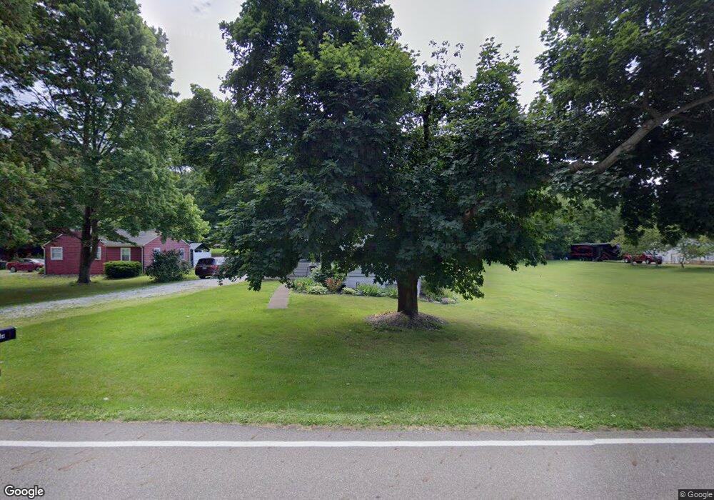
104 E Comet Rd Clinton, OH 44216
Estimated Value: $181,000 - $245,000
3
Beds
1
Bath
1,270
Sq Ft
$168/Sq Ft
Est. Value
About This Home
This home is located at 104 E Comet Rd, Clinton, OH 44216 and is currently estimated at $212,834, approximately $167 per square foot. 104 E Comet Rd is a home located in Summit County with nearby schools including Greenwood Elementary School, Green Intermediate Elementary School, and Green Primary School.
Ownership History
Date
Name
Owned For
Owner Type
Purchase Details
Closed on
Mar 5, 2009
Sold by
Wells Fargo Bank Na
Bought by
Garritano Llc
Current Estimated Value
Purchase Details
Closed on
Jul 28, 2008
Sold by
Somosko Ronald W
Bought by
Wells Fargo Bank Na and Option One Mortgage Loan Trust 2007-2 As
Purchase Details
Closed on
Dec 22, 2006
Sold by
Langford Mary N
Bought by
Somosko Ii Ronald W and Somosko Coni R
Home Financials for this Owner
Home Financials are based on the most recent Mortgage that was taken out on this home.
Original Mortgage
$119,900
Interest Rate
9.22%
Mortgage Type
Purchase Money Mortgage
Purchase Details
Closed on
Jun 9, 1999
Sold by
Langford Mary N
Bought by
Langford Mary N and Revocable Living Trust Mary N Langford
Create a Home Valuation Report for This Property
The Home Valuation Report is an in-depth analysis detailing your home's value as well as a comparison with similar homes in the area
Purchase History
| Date | Buyer | Sale Price | Title Company |
|---|---|---|---|
| Garritano Llc | $47,600 | Accutitle Agency Inc | |
| Wells Fargo Bank Na | $95,414 | None Available | |
| Somosko Ii Ronald W | $119,900 | Patriot Title Agency Inc | |
| Langford Mary N | -- | -- |
Source: Public Records
Mortgage History
| Date | Status | Borrower | Loan Amount |
|---|---|---|---|
| Previous Owner | Somosko Ii Ronald W | $119,900 |
Source: Public Records
Tax History
| Year | Tax Paid | Tax Assessment Tax Assessment Total Assessment is a certain percentage of the fair market value that is determined by local assessors to be the total taxable value of land and additions on the property. | Land | Improvement |
|---|---|---|---|---|
| 2024 | $2,660 | $55,402 | $17,931 | $37,471 |
| 2023 | $2,660 | $55,402 | $17,931 | $37,471 |
| 2022 | $2,171 | $40,611 | $12,996 | $27,615 |
| 2021 | $2,038 | $40,611 | $12,996 | $27,615 |
| 2020 | $2,000 | $40,620 | $13,000 | $27,620 |
| 2019 | $1,792 | $34,100 | $11,690 | $22,410 |
| 2018 | $1,833 | $34,100 | $11,690 | $22,410 |
| 2017 | $1,754 | $34,100 | $11,690 | $22,410 |
| 2016 | $1,746 | $30,630 | $11,690 | $18,940 |
| 2015 | $1,754 | $30,630 | $11,690 | $18,940 |
| 2014 | $1,743 | $30,630 | $11,690 | $18,940 |
| 2013 | $1,755 | $30,590 | $11,690 | $18,900 |
Source: Public Records
Map
Nearby Homes
- 402 Yager Rd
- 6407 Southview Dr
- 8259 Bricker Rd NW
- 0 W Comet Rd Unit 5079117
- 7428 Shadyview Ave NW
- 5626 Arlington Rd Unit 5628
- 9466 Beryl St NW
- 0 S Arlington Rd Unit 4494606
- 0 Babst Ave NW
- 7651 Brownwood Ave NW
- 8529 Morrilton Cir NW
- 9754 Agate St NW
- 5838 Harter Home Dr
- 6235 Manchester Rd
- 8069 Orchardway St NW
- 8524 Manchester Ave NW
- 7622 Greenview Ave NW
- 4885 Will Dr
- 9007 Greensway St NW
- 9015 Greensway St NW
Your Personal Tour Guide
Ask me questions while you tour the home.