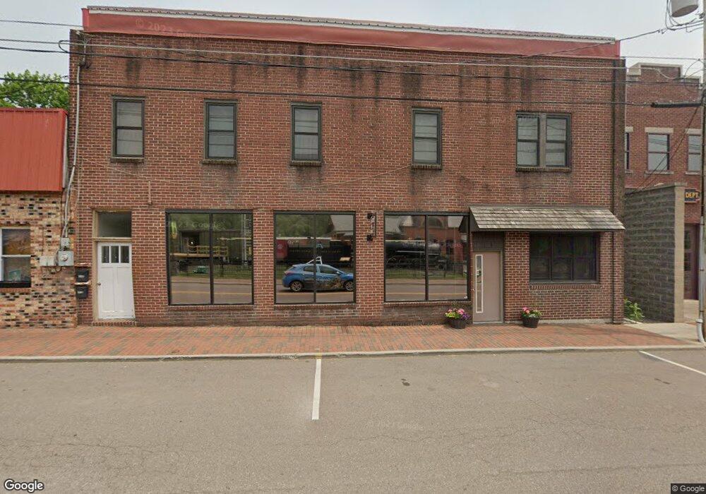
104 E Liberty St Oakland, MD 21550
Estimated Value: $419,363
Studio
--
Bath
1,250
Sq Ft
$335/Sq Ft
Est. Value
About This Home
This home is located at 104 E Liberty St, Oakland, MD 21550 and is currently estimated at $419,363, approximately $335 per square foot. 104 E Liberty St is a home located in Garrett County with nearby schools including Broad Ford Elementary School, Southern Middle School, and Southern Garrett High School.
Ownership History
Date
Name
Owned For
Owner Type
Purchase Details
Closed on
Oct 28, 2005
Sold by
Gnegy Robert L and Gnegy Marjorie E
Bought by
Success Floor Covering Llc
Current Estimated Value
Purchase Details
Closed on
Dec 27, 1996
Sold by
Fike Andrew W
Bought by
Gnegy Robert L and Gnegy Marjorie E
Purchase Details
Closed on
Feb 8, 1990
Sold by
Gnegy Robert L
Bought by
Fike Andrew W
Home Financials for this Owner
Home Financials are based on the most recent Mortgage that was taken out on this home.
Original Mortgage
$20,000
Interest Rate
10.17%
Create a Home Valuation Report for This Property
The Home Valuation Report is an in-depth analysis detailing your home's value as well as a comparison with similar homes in the area
Home Values in the Area
Average Home Value in this Area
Purchase History
| Date | Buyer | Sale Price | Title Company |
|---|---|---|---|
| Success Floor Covering Llc | $185,000 | -- | |
| Gnegy Robert L | $27,500 | -- | |
| Fike Andrew W | $25,000 | -- |
Source: Public Records
Mortgage History
| Date | Status | Borrower | Loan Amount |
|---|---|---|---|
| Previous Owner | Fike Andrew W | $20,000 |
Source: Public Records
Tax History
| Year | Tax Paid | Tax Assessment Tax Assessment Total Assessment is a certain percentage of the fair market value that is determined by local assessors to be the total taxable value of land and additions on the property. | Land | Improvement |
|---|---|---|---|---|
| 2025 | $852 | $53,100 | $7,700 | $45,400 |
| 2024 | $825 | $50,300 | $0 | $0 |
| 2023 | $779 | $47,500 | $0 | $0 |
| 2022 | $733 | $44,700 | $7,700 | $37,000 |
| 2021 | $733 | $44,700 | $7,700 | $37,000 |
| 2020 | $733 | $44,700 | $7,700 | $37,000 |
| 2019 | $736 | $44,900 | $7,700 | $37,200 |
| 2018 | $707 | $44,900 | $7,700 | $37,200 |
| 2017 | $707 | $44,900 | $0 | $0 |
| 2016 | -- | $45,000 | $0 | $0 |
| 2015 | -- | $45,000 | $0 | $0 |
| 2014 | -- | $45,000 | $0 | $0 |
Source: Public Records
Map
Nearby Homes
- 226 N Hammond St
- 313 W Liberty St
- 449 S 3rd St
- 729 E Oak St
- 0 8th & Dennett Road St Unit MDGA2009886
- 315 Coolidge Ave
- 654 N Bradley Ln
- 163 Mitchell Dr
- 1021 E High St
- 820 N 4th St
- 163 Crestview Dr
- 3.35 acres </> 4th St
- 127 S Oakhall Dr
- 505 Southern Pines Dr
- 697 Monte Vista Rd
- 3395 Fingerboard Rd
- 609 Southern Pines Dr
- 723 Kings Ct
- 711 Heritage Dr
- 413 D St
- 108 E Liberty St
- 100 E Liberty St
- 112 E Liberty St
- 117 E Liberty St
- 111 E Center St
- 116 E Liberty St
- 19 S 2nd St
- 125 E Liberty St
- 105 E Center St
- 126 E Liberty St
- 3 S 1st St
- 117 E Center St
- 115 E Center St
- 119 E Center St
- 130 E Liberty St
- 27 E Liberty St
- 18 E Liberty St
- 121 E Center St
- 129 E Liberty St
- 3 S 2nd St
Your Personal Tour Guide
Ask me questions while you tour the home.