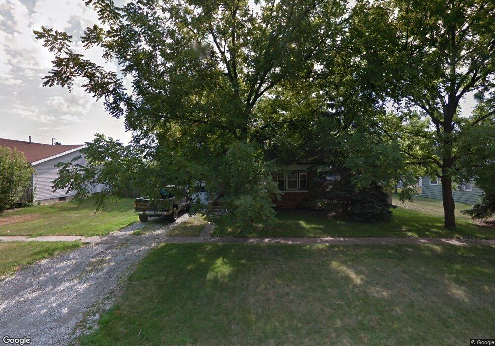
104 F St Sergeant Bluff, IA 51054
Estimated Value: $203,939 - $403,000
3
Beds
3
Baths
1,826
Sq Ft
$143/Sq Ft
Est. Value
About This Home
This home is located at 104 F St, Sergeant Bluff, IA 51054 and is currently estimated at $261,235, approximately $143 per square foot. 104 F St is a home located in Woodbury County with nearby schools including Sergeant Bluff-Luton Primary School, Sergeant Bluff-Luton Elementary School, and Sergeant Bluff-Luton Middle School.
Ownership History
Date
Name
Owned For
Owner Type
Purchase Details
Closed on
Dec 15, 2005
Sold by
Williams Michael K and Williams Carol J
Bought by
Ritchison Kevin L
Current Estimated Value
Home Financials for this Owner
Home Financials are based on the most recent Mortgage that was taken out on this home.
Original Mortgage
$75,000
Outstanding Balance
$42,137
Interest Rate
6.36%
Mortgage Type
New Conventional
Estimated Equity
$219,098
Create a Home Valuation Report for This Property
The Home Valuation Report is an in-depth analysis detailing your home's value as well as a comparison with similar homes in the area
Home Values in the Area
Average Home Value in this Area
Purchase History
| Date | Buyer | Sale Price | Title Company |
|---|---|---|---|
| Ritchison Kevin L | $75,000 | None Available |
Source: Public Records
Mortgage History
| Date | Status | Borrower | Loan Amount |
|---|---|---|---|
| Open | Ritchison Kevin L | $75,000 |
Source: Public Records
Tax History Compared to Growth
Tax History
| Year | Tax Paid | Tax Assessment Tax Assessment Total Assessment is a certain percentage of the fair market value that is determined by local assessors to be the total taxable value of land and additions on the property. | Land | Improvement |
|---|---|---|---|---|
| 2025 | $2,010 | $144,620 | $17,640 | $126,980 |
| 2024 | $2,010 | $134,460 | $15,740 | $118,720 |
| 2023 | $1,696 | $134,460 | $15,740 | $118,720 |
| 2022 | $1,744 | $96,540 | $15,740 | $80,800 |
| 2021 | $1,744 | $100,140 | $15,740 | $84,400 |
| 2020 | $1,654 | $93,110 | $16,840 | $76,270 |
| 2019 | $1,586 | $93,110 | $16,840 | $76,270 |
| 2018 | $1,548 | $88,020 | $16,840 | $71,180 |
| 2017 | $1,612 | $88,020 | $16,840 | $71,180 |
| 2016 | $1,450 | $74,610 | $0 | $0 |
| 2015 | $1,393 | $69,730 | $15,740 | $53,990 |
| 2014 | $1,314 | $69,730 | $15,740 | $53,990 |
Source: Public Records
Map
Nearby Homes
- 106 Port Neal Rd
- 306 Prairie Bluff Dr
- 601 Topaz Dr - Lot 4 & 5
- 601 Topaz Dr
- 614 Jamie Ln
- 718 Jax Ct
- 716 Jax Ct
- 723 Jax Ct
- 722 Jax Ct
- 720 Jax Ct
- 721 Jax Ct
- 2092 Roundtable Rd
- 803 Coffie Farm Rd
- 501 Huntington Ct
- 1308 Warrior Rd
- 2613 Wilde St
- Plan 5 at Settler's Point - Settler's Point Townhomes
- Plan 4+ at Settler's Point - Settler's Point Townhomes
- Plan 2 at Settler's Point - Settler's Point Townhomes
- Plan 1 at Settler's Point - Settler's Point Townhomes
