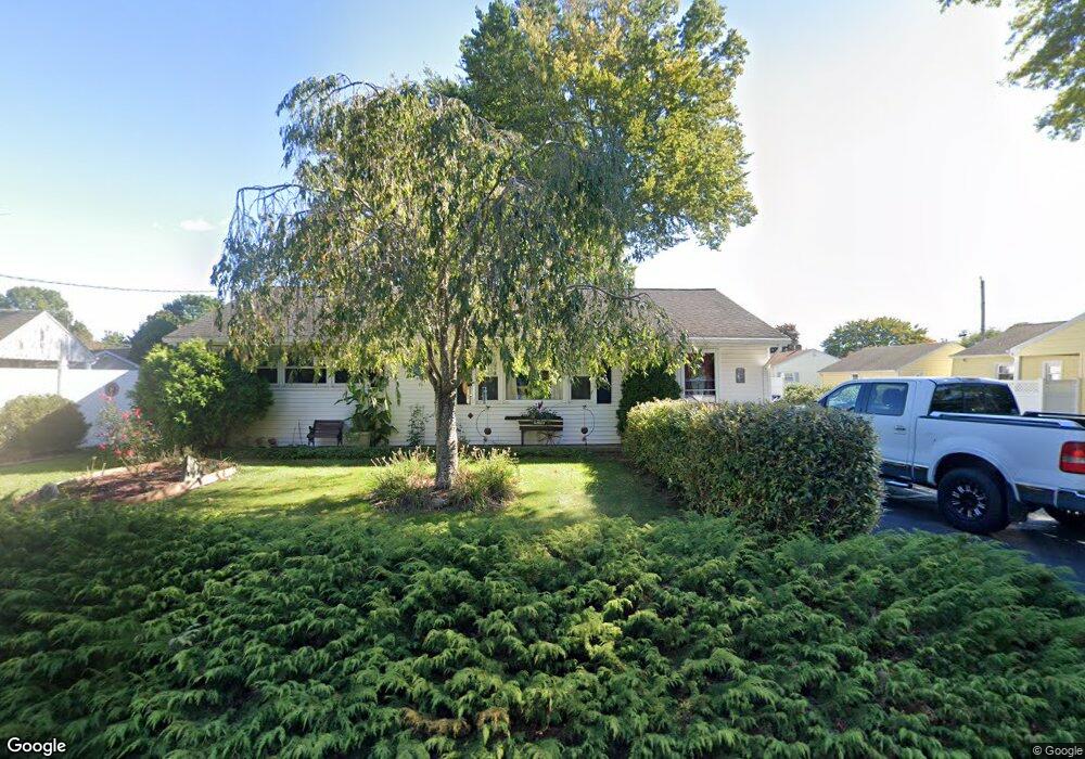
104 Fog Plain Rd Waterford, CT 06385
Estimated Value: $335,000 - $413,000
2
Beds
2
Baths
1,056
Sq Ft
$339/Sq Ft
Est. Value
About This Home
This home is located at 104 Fog Plain Rd, Waterford, CT 06385 and is currently estimated at $358,052, approximately $339 per square foot. 104 Fog Plain Rd is a home located in New London County with nearby schools including Clark Lane Middle School, Waterford High School, and New London High School Multi-Magnet Campus.
Ownership History
Date
Name
Owned For
Owner Type
Purchase Details
Closed on
Mar 17, 2016
Sold by
Schultz Michele J
Bought by
Schultz Michele J and Schultz James H
Current Estimated Value
Purchase Details
Closed on
Feb 27, 1998
Sold by
Dietrich Jerome F
Bought by
Radzvilowicz Michele J
Create a Home Valuation Report for This Property
The Home Valuation Report is an in-depth analysis detailing your home's value as well as a comparison with similar homes in the area
Home Values in the Area
Average Home Value in this Area
Purchase History
| Date | Buyer | Sale Price | Title Company |
|---|---|---|---|
| Schultz Michele J | -- | -- | |
| Radzvilowicz Michele J | $114,000 | -- |
Source: Public Records
Mortgage History
| Date | Status | Borrower | Loan Amount |
|---|---|---|---|
| Previous Owner | Radzvilowicz Michele J | $125,440 | |
| Previous Owner | Radzvilowicz Michele J | $130,500 | |
| Previous Owner | Radzvilowicz Michele J | $30,000 |
Source: Public Records
Tax History Compared to Growth
Tax History
| Year | Tax Paid | Tax Assessment Tax Assessment Total Assessment is a certain percentage of the fair market value that is determined by local assessors to be the total taxable value of land and additions on the property. | Land | Improvement |
|---|---|---|---|---|
| 2025 | $3,714 | $158,990 | $59,300 | $99,690 |
| 2024 | $3,545 | $158,990 | $59,300 | $99,690 |
| 2023 | $3,371 | $158,990 | $59,300 | $99,690 |
| 2022 | $3,208 | $116,390 | $43,830 | $72,560 |
| 2021 | $3,217 | $116,390 | $43,830 | $72,560 |
| 2020 | $3,244 | $116,390 | $43,830 | $72,560 |
| 2019 | $3,257 | $116,390 | $43,830 | $72,560 |
| 2018 | $3,191 | $116,390 | $43,830 | $72,560 |
| 2017 | $3,110 | $115,050 | $46,410 | $68,640 |
| 2016 | $3,118 | $116,420 | $46,410 | $70,010 |
| 2015 | $3,007 | $116,420 | $46,410 | $70,010 |
| 2014 | $2,887 | $116,420 | $46,410 | $70,010 |
Source: Public Records
Map
Nearby Homes
- 7 Robin St
- 267 Boston Post Rd
- 270 Boston Post Rd Unit 22
- 213 Boston Post Rd
- 27 Mullen Hill Rd
- 310 Boston Post Rd Unit 86
- 164 Stoneheights Dr Unit 164
- 54 Rope Ferry Rd Unit H133
- 140 Waterford Pkwy S
- 24 Stoneheights Dr
- 32 Stoneheights Dr Unit 32
- 9 Rock Ridge Rd
- 127 Spithead Rd
- 16 Beechwood Dr
- 168 Waterford Pkwy S Unit B25
- 398 & 402 Boston Post Rd
- 398 Boston Post Rd
- 9 Arrowhead Trail
- 24 Pine St
- 172 Ashcraft Rd