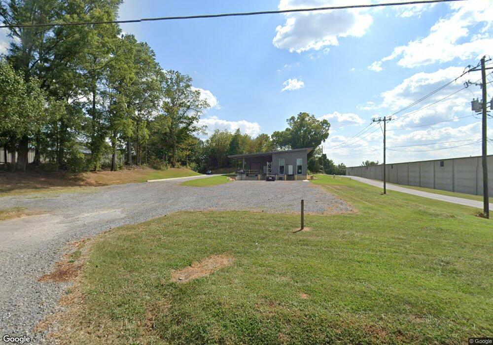
104 Henderson Bend Rd NW Calhoun, GA 30701
Estimated Value: $155,077 - $250,000
2
Beds
1
Bath
1,069
Sq Ft
$179/Sq Ft
Est. Value
About This Home
This home is located at 104 Henderson Bend Rd NW, Calhoun, GA 30701 and is currently estimated at $191,519, approximately $179 per square foot. 104 Henderson Bend Rd NW is a home located in Gordon County with nearby schools including Calhoun Primary School, Calhoun Elementary School, and Calhoun Middle School.
Ownership History
Date
Name
Owned For
Owner Type
Purchase Details
Closed on
Aug 26, 2020
Sold by
Duke Gary
Bought by
Cga Global Realty Llc
Current Estimated Value
Purchase Details
Closed on
Aug 7, 2007
Sold by
Midfirst Bank
Bought by
Duke Gary Heath
Purchase Details
Closed on
Mar 7, 1997
Bought by
Silvers Larry J and Silvers Kathy L
Purchase Details
Closed on
Jun 20, 1996
Bought by
Kennon Realty Services Inc
Purchase Details
Closed on
Jun 22, 1995
Bought by
Secretary Of Housing
Create a Home Valuation Report for This Property
The Home Valuation Report is an in-depth analysis detailing your home's value as well as a comparison with similar homes in the area
Home Values in the Area
Average Home Value in this Area
Purchase History
| Date | Buyer | Sale Price | Title Company |
|---|---|---|---|
| Cga Global Realty Llc | $100,000 | -- | |
| Duke Gary Heath | $53,447 | -- | |
| Silvers Larry J | $55,000 | -- | |
| Kennon Realty Services Inc | $20,000 | -- | |
| Secretary Of Housing | $45,600 | -- |
Source: Public Records
Tax History Compared to Growth
Tax History
| Year | Tax Paid | Tax Assessment Tax Assessment Total Assessment is a certain percentage of the fair market value that is determined by local assessors to be the total taxable value of land and additions on the property. | Land | Improvement |
|---|---|---|---|---|
| 2024 | $99 | $3,520 | $3,520 | $0 |
| 2023 | $99 | $3,520 | $3,520 | $0 |
| 2022 | $33 | $3,520 | $3,520 | $0 |
| 2021 | $105 | $3,520 | $3,520 | $0 |
| 2020 | $626 | $20,868 | $7,000 | $13,868 |
| 2019 | $625 | $20,872 | $7,000 | $13,872 |
| 2018 | $197 | $20,472 | $7,000 | $13,472 |
| 2017 | $194 | $19,752 | $7,000 | $12,752 |
| 2016 | $195 | $19,752 | $7,000 | $12,752 |
| 2015 | $195 | $19,512 | $7,000 | $12,512 |
| 2014 | $187 | $18,991 | $7,028 | $11,963 |
Source: Public Records
Map
Nearby Homes
- 145 Green Row
- 106 Windmill Ct
- 104 Windmill Ct
- 113 Mill Pond Ln
- 125 Mill Pond Ln
- 106 Millers Ln
- 115 Old Mill Dr
- 98 Echota 5th St
- 113 Waterside Dr
- 91 Echota 4th St
- 122 Millers Ln
- 108 Mill Stone Dr
- 135 Millers Ln
- 137 Millers Ln
- 118 Old Mill Dr
- 154 Millers Ln
- 106 Mount Vernon Dr
- 0 Red Bud Rd NE Unit 123029
- 367 Mount Vernon Dr
- 00 Mauldin Rd NW
- 125 Thomas St
- 102 White St
- 100 Henderson Bend Rd NW
- 134 White St
- 123 Thomas St
- 103 Henderson Bend Rd NW
- 101 White St
- 158 White St
- 145 White St
- 101 Henderson Bend Rd NW
- 121 Thomas St
- 932 N Wall St
- 934 N Wall St
- 990 S Wall St
- 113 Henderson Bend Rd NW
- 167 White St
- 986 N Wall St
- 105 White St
- 106 Daisy St
- 108 Daisy St
