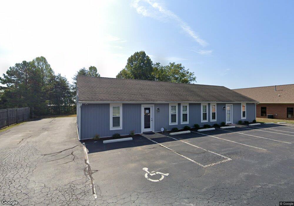
104 Homestead Dr Forest, VA 24551
Estimated Value: $258,506
Studio
--
Bath
2,392
Sq Ft
$108/Sq Ft
Est. Value
About This Home
This home is located at 104 Homestead Dr, Forest, VA 24551 and is currently estimated at $258,506, approximately $108 per square foot. 104 Homestead Dr is a home located in Bedford County with nearby schools including Thomas Jefferson Elementary School, Forest Middle School, and Jefferson Forest High School.
Ownership History
Date
Name
Owned For
Owner Type
Purchase Details
Closed on
Feb 22, 2024
Sold by
Ayers Malcolm E
Bought by
Bcj Holdings Llc
Current Estimated Value
Home Financials for this Owner
Home Financials are based on the most recent Mortgage that was taken out on this home.
Original Mortgage
$240,000
Outstanding Balance
$235,798
Interest Rate
6.66%
Mortgage Type
Seller Take Back
Estimated Equity
$22,708
Create a Home Valuation Report for This Property
The Home Valuation Report is an in-depth analysis detailing your home's value as well as a comparison with similar homes in the area
Home Values in the Area
Average Home Value in this Area
Purchase History
We collect this data history from publicly available records. To have your information removed, we recommend requesting removal directly through your county’s website.
| Date | Buyer | Sale Price | Title Company |
|---|---|---|---|
| Bcj Holdings Llc | $250,000 | None Listed On Document |
Source: Public Records
Mortgage History
We collect this data history from publicly available records. To have your information removed, we recommend requesting removal directly through your county’s website.
| Date | Status | Borrower | Loan Amount |
|---|---|---|---|
| Open | Bcj Holdings Llc | $240,000 |
Source: Public Records
Tax History
| Year | Tax Paid | Tax Assessment Tax Assessment Total Assessment is a certain percentage of the fair market value that is determined by local assessors to be the total taxable value of land and additions on the property. | Land | Improvement |
|---|---|---|---|---|
| 2025 | $953 | $232,500 | $71,700 | $160,800 |
| 2024 | $953 | $232,500 | $71,700 | $160,800 |
| 2023 | $953 | $116,250 | $0 | $0 |
| 2022 | $1,025 | $102,450 | $0 | $0 |
| 2021 | $1,025 | $204,900 | $61,400 | $143,500 |
| 2020 | $1,025 | $204,900 | $61,400 | $143,500 |
| 2019 | $1,025 | $204,900 | $61,400 | $143,500 |
| 2018 | $1,020 | $196,100 | $61,400 | $134,700 |
| 2017 | $1,020 | $196,100 | $61,400 | $134,700 |
| 2016 | $1,020 | $196,100 | $61,400 | $134,700 |
| 2015 | $1,020 | $196,100 | $61,400 | $134,700 |
| 2014 | $1,046 | $201,100 | $61,400 | $139,700 |
Source: Public Records
Map
Nearby Homes
- 200 Enterprise Dr
- 17513 Forest Rd
- 1012 Homestead Garden Ct Unit 6
- 1012 Homestead Garden Ct Unit 2
- 206 Simsbury Ln
- 302 Paulette Cir
- 506 Robin Dr
- 405 Homestead Dr
- 1136 Jefferson Dr W
- 736 Wyndhurst Dr
- 207 Northwynd Cir
- 725 Wyndhurst Dr
- 229 Northwynd Cir
- 1039 Combs Cove Dr
- 1664 Graves Mill Rd
- 213 Margate Dr
- 308 Robin Dr
- 623 Wyndhurst Dr Unit 210
- 1529 Bateman Bridge Rd
- 1547 Bateman Bridge Rd
- 106 Homestead Dr
- 301 Enterprise Dr
- 305 Enterprise Dr
- 103 Homestead Dr
- 300 Enterprise Dr Unit B
- 104 Annjo Ct
- 104 Annjo Ct
- 104 Annjo Ct
- 302 Enterprise Dr
- 206 Enterprise Dr
- 309 Enterprise Dr
- 102 Annjo Ct
- 100 Annjo Ct
- 106 Annjo Ct
- 306 Enterprise Dr
- 2012 Enterprise Dr
- 0 Brook Park Place
- 2010 Enterprise Dr
- 17327 Forest Rd
- 304 Brook Park Place
Your Personal Tour Guide
Ask me questions while you tour the home.