305 Enterprise Dr Forest, VA 24551
Estimated Value: $3,726,745
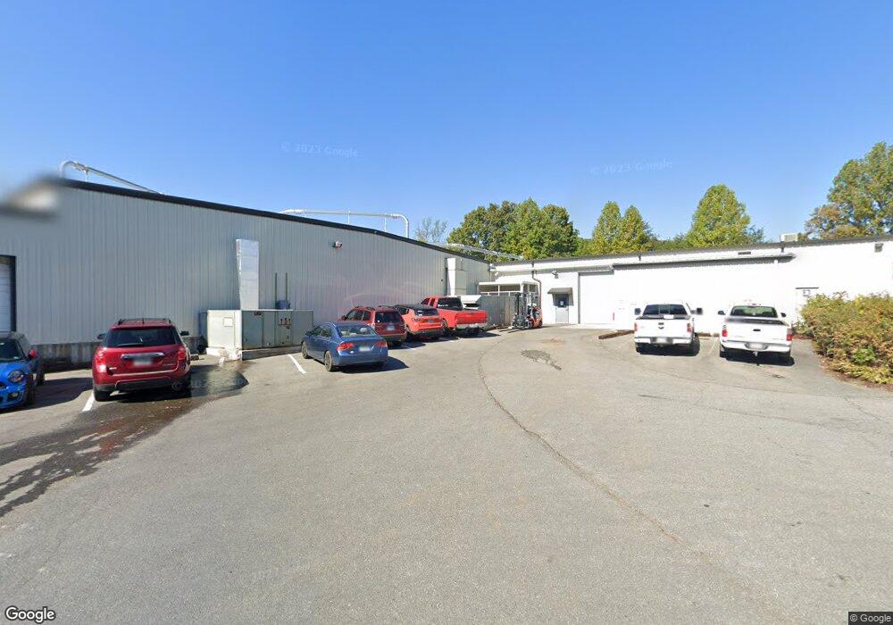
About This Home
This home is located at 305 Enterprise Dr, Forest, VA 24551 and is currently estimated at $3,726,745, approximately $63 per square foot. 305 Enterprise Dr is a home located in Bedford County with nearby schools including Thomas Jefferson Elementary School, Forest Middle School, and Jefferson Forest High School.
Ownership History
We collect this data history from publicly available records. To have your information removed, we recommend requesting removal directly through your county’s website.
Purchase Details
Purchase Details
Home Values in the Area
Average Home Value in this Area
Purchase History
We collect this data history from publicly available records. To have your information removed, we recommend requesting removal directly through your county’s website.
| Date | Buyer | Sale Price | Title Company |
|---|---|---|---|
| -- | None Listed On Document | ||
| $2,000,000 | None Available |
Tax History
We collect this data history from publicly available records. To have your information removed, we recommend requesting removal directly through your county’s website.
| Year | Tax Paid | Tax Assessment Tax Assessment Total Assessment is a certain percentage of the fair market value that is determined by local assessors to be the total taxable value of land and additions on the property. | Land | Improvement |
|---|---|---|---|---|
| 2025 | $12,311 | $3,002,700 | $816,300 | $2,186,400 |
| 2024 | $10,653 | $2,598,400 | $412,000 | $2,186,400 |
| 2023 | $10,653 | $1,299,200 | $0 | $0 |
| 2022 | $10,139 | $1,013,900 | $0 | $0 |
| 2021 | $10,139 | $2,027,800 | $247,200 | $1,780,600 |
| 2020 | $10,139 | $2,027,800 | $247,200 | $1,780,600 |
| 2019 | $10,139 | $2,027,800 | $247,200 | $1,780,600 |
| 2018 | $10,515 | $2,022,100 | $247,200 | $1,774,900 |
| 2017 | $10,515 | $2,022,100 | $247,200 | $1,774,900 |
| 2016 | $10,515 | $2,022,100 | $247,200 | $1,774,900 |
| 2015 | $10,515 | $2,022,100 | $247,200 | $1,774,900 |
| 2014 | $10,017 | $1,926,400 | $247,200 | $1,679,200 |
Map
- 200 Enterprise Dr
- 1012 Homestead Garden Ct Unit 6
- 1012 Homestead Garden Ct Unit 2
- 17513 Forest Rd
- 206 Simsbury Ln
- 302 Paulette Cir
- 1074 Jefferson Dr W
- 510 Little Creek Rd
- 523 Sweeney Cir
- 736 Wyndhurst Dr
- 207 Northwynd Cir
- 725 Wyndhurst Dr
- 1305 Summerpark Dr
- 1039 Combs Cove Dr
- 103 Springvale Dr
- 213 Margate Dr
- 1664 Graves Mill Rd
- 308 Robin Dr
- 623 Wyndhurst Dr Unit 210
- 1529 Bateman Bridge Rd
- 104 Homestead Dr
- 301 Enterprise Dr
- 106 Homestead Dr
- 309 Enterprise Dr
- 2012 Enterprise Dr
- 103 Homestead Dr
- 2010 Enterprise Dr
- 300 Enterprise Dr Unit B
- 302 Enterprise Dr
- 306 Enterprise Dr
- 206 Enterprise Dr
- 104 Annjo Ct
- 104 Annjo Ct
- 104 Annjo Ct
- 2011 Enterprise Dr
- 0 Brook Park Place
- 102 Annjo Ct
- 100 Annjo Ct
- 307 Brook Park Place
- 106 Annjo Ct
Ask me questions while you tour the home.