2011 Enterprise Dr Forest, VA 24551
Forest AreaAbout This Home
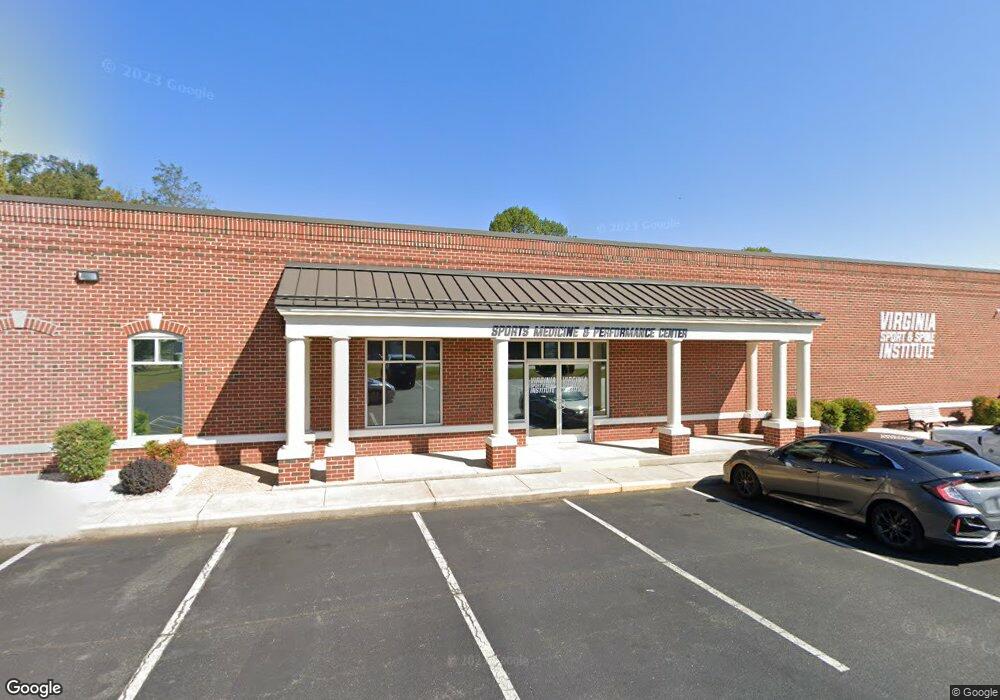
This home is located at 2011 Enterprise Dr, Forest, VA 24551. 2011 Enterprise Dr is a home located in Lynchburg City with nearby schools including Sandusky Elementary School, Sandusky Middle School, and Heritage High School.
Ownership History
We collect this data history from publicly available records. To have your information removed, we recommend requesting removal directly through your county’s website.
Purchase Details
Home Financials for this Owner
Home Financials are based on the most recent Mortgage that was taken out on this home.Purchase History
We collect this data history from publicly available records. To have your information removed, we recommend requesting removal directly through your county’s website.
| Date | Buyer | Sale Price | Title Company |
|---|---|---|---|
| $1,030,000 | Virginia Title |
Mortgage History
We collect this data history from publicly available records. To have your information removed, we recommend requesting removal directly through your county’s website.
| Date | Status | Borrower | Loan Amount |
|---|---|---|---|
| Open | $1,045,500 | ||
| Previous Owner | $964,000 | ||
| Previous Owner | $964,000 | ||
| Previous Owner | $255,000 |
Tax History
We collect this data history from publicly available records. To have your information removed, we recommend requesting removal directly through your county’s website.
| Year | Tax Paid | Tax Assessment Tax Assessment Total Assessment is a certain percentage of the fair market value that is determined by local assessors to be the total taxable value of land and additions on the property. | Land | Improvement |
|---|---|---|---|---|
| 2025 | $2,363 | $1,125,000 | $399,900 | $725,100 |
| 2024 | $9,590 | $1,077,500 | $399,900 | $677,600 |
| 2023 | $9,590 | $1,077,500 | $399,900 | $677,600 |
| 2022 | $9,337 | $906,500 | $399,900 | $506,600 |
| 2021 | $8,969 | $808,000 | $399,900 | $408,100 |
| 2020 | $8,230 | $741,400 | $333,300 | $408,100 |
| 2019 | $8,230 | $741,400 | $333,300 | $408,100 |
| 2018 | $8,230 | $741,400 | $333,300 | $408,100 |
| 2017 | $8,230 | $741,400 | $333,300 | $408,100 |
| 2016 | $8,230 | $741,400 | $333,300 | $408,100 |
| 2015 | $8,230 | $741,400 | $333,300 | $408,100 |
| 2014 | $8,230 | $741,400 | $333,300 | $408,100 |
Map
- 200 Enterprise Dr
- 17513 Forest Rd
- 1012 Homestead Garden Ct Unit 6
- 1012 Homestead Garden Ct Unit 2
- 222 Graves Dr
- 201 Forest Dale Dr
- 206 Paulette Cir
- 206 Simsbury Ln
- 108 Sweeney Cir
- 510 Little Creek Rd
- 208 Sweeney Cir
- 736 Wyndhurst Dr
- 207 Northwynd Cir
- 1074 Jefferson Dr W
- 702 Wyndhurst Dr
- 480 Windingway Rd
- 103 Springvale Dr
- 523 Sweeney Cir
- 0 Forest Rd
- 0 Forest Rd Unit 361552
- 2010 Enterprise Dr
- 2012 Enterprise Dr
- 309 Enterprise Dr
- 306 Enterprise Dr
- 305 Enterprise Dr
- 302 Enterprise Dr
- 301 Enterprise Dr
- 300 Enterprise Dr Unit B
- 1001 Dillard Dr
- 104 Homestead Dr
- 106 Homestead Dr
- 307 Brook Park Place
- 0 Brook Park Place
- 311 Brook Park Place
- 2009 Enterprise Dr
- 206 Enterprise Dr
- 2004 Enterprise Dr
- 2001 Enterprise Dr
- 317 Brook Park Place
- 304 Brook Park Place
Ask me questions while you tour the home.