Estimated Value: $307,069 - $392,000
Studio
3
Baths
2,256
Sq Ft
$153/Sq Ft
Est. Value
About This Home
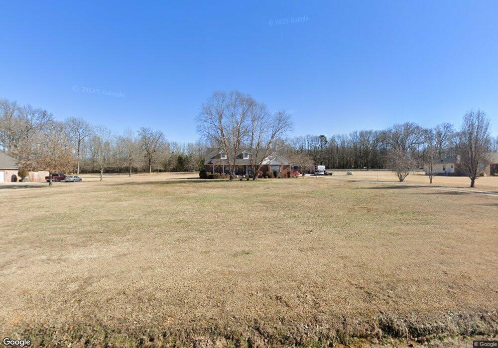
This home is located at 104 Huskey Ln, Beebe, AR 72012 and is currently estimated at $345,267, approximately $153 per square foot. 104 Huskey Ln is a home located in White County with nearby schools including Beebe Elementary School, Beebe Junior High School, and Beebe Middle School.
Ownership History
Date
Name
Owned For
Owner Type
Purchase Details
Closed on
May 26, 2006
Sold by
Huskey Harold W and Huskey Sue
Bought by
Davis James M
Current Estimated Value
Home Financials for this Owner
Home Financials are based on the most recent Mortgage that was taken out on this home.
Original Mortgage
$200,848
Outstanding Balance
$116,987
Interest Rate
6.5%
Mortgage Type
FHA
Estimated Equity
$228,280
Create a Home Valuation Report for This Property
The Home Valuation Report is an in-depth analysis detailing your home's value as well as a comparison with similar homes in the area
Purchase History
| Date | Buyer | Sale Price | Title Company |
|---|---|---|---|
| Davis James M | $204,000 | None Available |
Source: Public Records
Mortgage History
| Date | Status | Borrower | Loan Amount |
|---|---|---|---|
| Open | Davis James M | $200,848 |
Source: Public Records
Tax History
| Year | Tax Paid | Tax Assessment Tax Assessment Total Assessment is a certain percentage of the fair market value that is determined by local assessors to be the total taxable value of land and additions on the property. | Land | Improvement |
|---|---|---|---|---|
| 2025 | $1,758 | $43,190 | $5,540 | $37,650 |
| 2024 | $1,758 | $43,190 | $5,540 | $37,650 |
| 2023 | $1,798 | $43,190 | $5,540 | $37,650 |
| 2022 | $1,423 | $43,190 | $5,540 | $37,650 |
| 2021 | $1,393 | $43,190 | $5,540 | $37,650 |
| 2020 | $1,311 | $40,430 | $4,280 | $36,150 |
| 2019 | $1,311 | $40,430 | $4,280 | $36,150 |
| 2018 | $1,336 | $40,430 | $4,280 | $36,150 |
| 2017 | $1,609 | $40,430 | $4,280 | $36,150 |
| 2016 | $1,609 | $39,540 | $4,280 | $35,260 |
| 2015 | $1,533 | $37,660 | $5,080 | $32,580 |
| 2014 | $1,533 | $37,660 | $5,080 | $32,580 |
Source: Public Records
Map
Nearby Homes
- 114 Mildred
- 729 Swinging Bridge Rd
- 111 Belinda Ln
- Tract 11 Artesia Ln
- Tract 9 Artesia Ln
- Lot 16 & 17 Autumn Ln
- 311 Dugger Rd
- 298 U S 64
- 271 Dugger Rd
- 101 W Lake Cove
- 791 U S 64
- 556 Davidson Rd
- 256 Vernon Harvey Rd
- 102 Wildflower Dr
- 127 Dugger Rd
- 00 Brock Rd
- 215 Brock Rd
- 000 Gillham Rd
- 115 James Dr
- 152 Pine View Dr
- 106 Huskey Ln
- 102 Huskey Ln
- 101 Huskey Ln
- 105 Huskey Ln
- 100 Huskey Ln
- 107 Huskey Ln
- 103 Huskey Ln
- 188 Rainey Rd
- 822 Swinging Bridge Rd
- 824 Swinging Bridge Rd
- 826 Swinging Bridge Rd
- 190 Rainey Rd
- 828 Swinging Bridge Rd
- 827 Swinging Bridge Rd
- 856 Swinging Bridge Rd
- 821 Swinging Bridge Rd
- 0 Swinging Bridge Rd Unit 16007955
- 0 Swinging Bridge Rd Unit 17016203
- 0 Swinging Bridge Rd Unit 17023693
Your Personal Tour Guide
Ask me questions while you tour the home.