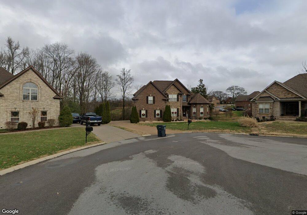
104 Jamies Way Mt. Juliet, TN 37122
Estimated Value: $702,000 - $789,000
4
Beds
3
Baths
2,894
Sq Ft
$257/Sq Ft
Est. Value
About This Home
This home is located at 104 Jamies Way, Mt. Juliet, TN 37122 and is currently estimated at $743,202, approximately $256 per square foot. 104 Jamies Way is a home located in Wilson County with nearby schools including Gladeville Elementary School, Gladeville Middle School, and Wilson Central High School.
Ownership History
Date
Name
Owned For
Owner Type
Purchase Details
Closed on
May 31, 2023
Sold by
Solomon George and Solomon Cynthia A
Bought by
George And Cynthia Solomon Living Trust
Current Estimated Value
Purchase Details
Closed on
Mar 28, 2013
Sold by
Eastland Construction Inc
Bought by
Solomon Cynthia A and Solomon George
Purchase Details
Closed on
Aug 31, 2012
Sold by
Beckwith Partners Llc
Bought by
Eastland Construction Inc
Home Financials for this Owner
Home Financials are based on the most recent Mortgage that was taken out on this home.
Original Mortgage
$275,200
Interest Rate
3.58%
Mortgage Type
Commercial
Create a Home Valuation Report for This Property
The Home Valuation Report is an in-depth analysis detailing your home's value as well as a comparison with similar homes in the area
Home Values in the Area
Average Home Value in this Area
Purchase History
| Date | Buyer | Sale Price | Title Company |
|---|---|---|---|
| George And Cynthia Solomon Living Trust | -- | None Listed On Document | |
| George And Cynthia Solomon Living Trust | -- | None Listed On Document | |
| Solomon Cynthia A | $349,900 | -- | |
| Eastland Construction Inc | $70,000 | -- |
Source: Public Records
Mortgage History
| Date | Status | Borrower | Loan Amount |
|---|---|---|---|
| Previous Owner | Eastland Construction Inc | $275,200 |
Source: Public Records
Tax History Compared to Growth
Tax History
| Year | Tax Paid | Tax Assessment Tax Assessment Total Assessment is a certain percentage of the fair market value that is determined by local assessors to be the total taxable value of land and additions on the property. | Land | Improvement |
|---|---|---|---|---|
| 2024 | $2,161 | $113,225 | $27,500 | $85,725 |
| 2022 | $2,161 | $113,225 | $27,500 | $85,725 |
| 2021 | $2,161 | $113,225 | $27,500 | $85,725 |
| 2020 | $2,268 | $113,225 | $27,500 | $85,725 |
| 2019 | $2,263 | $90,050 | $18,750 | $71,300 |
| 2018 | $2,263 | $89,850 | $18,750 | $71,100 |
| 2017 | $2,263 | $89,850 | $18,750 | $71,100 |
| 2016 | $2,263 | $89,850 | $18,750 | $71,100 |
| 2015 | $2,310 | $89,850 | $18,750 | $71,100 |
| 2014 | $2,087 | $81,184 | $0 | $0 |
Source: Public Records
Map
Nearby Homes
- 11671 Central Pike
- 1012 Syler Dr
- 1014 Syler Dr
- 2025 Oliver Dr
- 0 Posey Hill Rd
- 2016 Oliver Dr
- 2996 S Rutland Rd
- 2030 Oliver Dr
- 412 Butler Rd
- 17 Kilkham Ct
- 3034 Elliott Dr
- Rockwell Plan at Waltons Grove
- Newport Plan at Waltons Grove
- Sherwood Plan at Waltons Grove
- Johnson Plan at Waltons Grove
- Manchester Plan at Waltons Grove
- Alexander Plan at Waltons Grove
- 295 Antebellum Ln
- 1400 Beasley Blvd
- 1343 Beasley Blvd
- 102 Jamies Way
- 105 Jamies Way
- 15 Gaines Park
- 1031 Berkshire Blvd
- 1033 Berkshire Blvd
- 13 Gaines Park
- 16 Gaines Park
- 17 Jamies Way
- 101 Jamies Way
- 52 Gaines Pike
- 1035 Berkshire Blvd
- 52 Gaines Park #52
- 14 Gaines Park
- 697 Scottland Trace
- 1027 Berkshire Blvd
- 11 Gaines Park
- 697 Scottland Trace
- 1032 Berkshire Blvd
- 201 Jamies Way