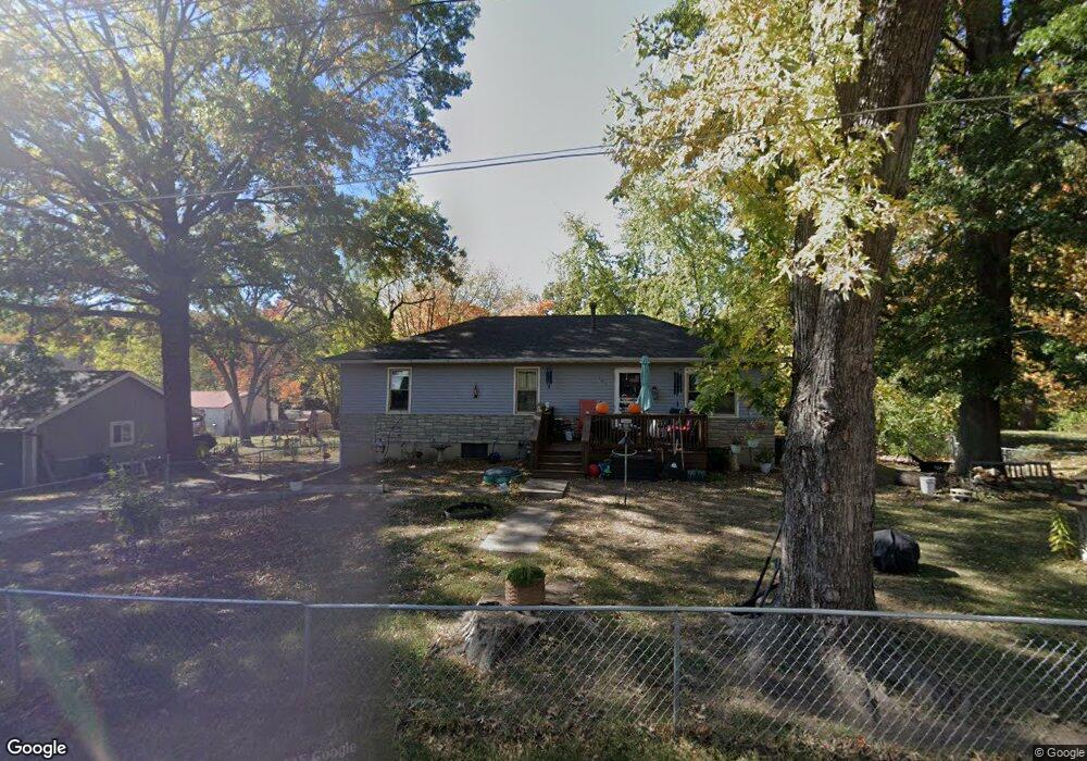
104 Kirkland Ave Liberty, MO 64068
Estimated Value: $238,000 - $284,000
3
Beds
1
Bath
1,056
Sq Ft
$239/Sq Ft
Est. Value
About This Home
This home is located at 104 Kirkland Ave, Liberty, MO 64068 and is currently estimated at $252,021, approximately $238 per square foot. 104 Kirkland Ave is a home located in Clay County with nearby schools including Alexander Doniphan Elementary School, Discovery Middle School, and Liberty High School.
Ownership History
Date
Name
Owned For
Owner Type
Purchase Details
Closed on
Nov 15, 2013
Sold by
Green Marsha K and Butcher Jannice
Bought by
Green Marsha K and Butcher Jannice
Current Estimated Value
Purchase Details
Closed on
Jun 22, 2000
Sold by
Green Marsha K and Green Marsha Kay
Bought by
Green Marsha K and Lewis Jannice
Home Financials for this Owner
Home Financials are based on the most recent Mortgage that was taken out on this home.
Original Mortgage
$36,202
Interest Rate
8.5%
Mortgage Type
Stand Alone First
Create a Home Valuation Report for This Property
The Home Valuation Report is an in-depth analysis detailing your home's value as well as a comparison with similar homes in the area
Home Values in the Area
Average Home Value in this Area
Purchase History
| Date | Buyer | Sale Price | Title Company |
|---|---|---|---|
| Green Marsha K | -- | None Available | |
| Green Marsha K | -- | Thomson Title Corporation |
Source: Public Records
Mortgage History
| Date | Status | Borrower | Loan Amount |
|---|---|---|---|
| Closed | Green Marsha K | $36,202 |
Source: Public Records
Tax History Compared to Growth
Tax History
| Year | Tax Paid | Tax Assessment Tax Assessment Total Assessment is a certain percentage of the fair market value that is determined by local assessors to be the total taxable value of land and additions on the property. | Land | Improvement |
|---|---|---|---|---|
| 2025 | $1,813 | $28,200 | -- | -- |
| 2024 | $1,813 | $24,550 | -- | -- |
| 2023 | $1,839 | $24,550 | $0 | $0 |
| 2022 | $1,737 | $22,930 | $0 | $0 |
| 2021 | $1,744 | $22,933 | $6,536 | $16,397 |
| 2020 | $1,831 | $22,710 | $0 | $0 |
| 2019 | $1,832 | $22,710 | $0 | $0 |
| 2018 | $1,483 | $18,050 | $0 | $0 |
| 2017 | $1,467 | $18,050 | $3,760 | $14,290 |
| 2016 | $1,467 | $18,050 | $3,760 | $14,290 |
| 2015 | $1,467 | $18,050 | $3,760 | $14,290 |
| 2014 | $1,503 | $18,450 | $3,760 | $14,690 |
Source: Public Records
Map
Nearby Homes
- 1733 Welleslay Ln
- 1537 Canterbury Ln
- 1507 Amesbury Ave
- 1323 Amesbury Ave
- 1327 Easton Ct
- 1836 Green Meadow Dr
- 1205 Blackberry Dr
- 1856 Arbor Trail
- 1991 Harvest Rd
- 1841 Vintage Ln
- 1845 Arbor Trail
- 1218 Canterbury Ln
- 1852 Vintage Ln
- 1912 Longview Dr
- 1985 Longview Dr
- 1916 Longview Dr
- 1989 Longview Dr
- 2188 Heritage Ct
- 1304 Wellington Way
- 1975 Harvest Rd
- 106 Kirkland Ave
- 102 Kirkland Ave
- 314 Smiley Rd Unit B
- 312 Smiley Rd
- 318 Smiley Rd
- 200 Kirkland Ave
- 97 Kirkland Ave
- 103 Kirkland Ave
- 310 Smiley Rd
- 105 Kirkland Ave
- 401 Wherritt Ln
- 202 Kirkland Ave
- 400 Smiley Rd
- 315 Smiley Rd
- 403 Wherritt Ln
- 1713 S Wales
- 1709 S Wales
- 401 Smiley Rd
- 402 Wherritt Ln
- 404 Smiley Rd