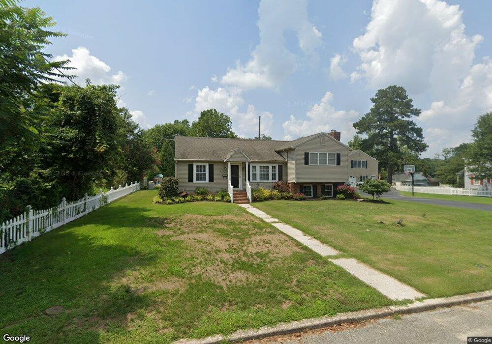
104 Lansing Ave Laurel, DE 19956
Estimated Value: $177,018 - $235,000
2
Beds
--
Bath
1,001
Sq Ft
$204/Sq Ft
Est. Value
About This Home
This home is located at 104 Lansing Ave, Laurel, DE 19956 and is currently estimated at $204,255, approximately $204 per square foot. 104 Lansing Ave is a home located in Sussex County with nearby schools including North Laurel Elementary School, Laurel Elementary School, and Laurel Intermediate Middle School.
Ownership History
Date
Name
Owned For
Owner Type
Purchase Details
Closed on
Oct 7, 2015
Sold by
Carolyn L Calio Trust
Bought by
Leblanc Christopher S and Leblanc Cynthia J
Current Estimated Value
Home Financials for this Owner
Home Financials are based on the most recent Mortgage that was taken out on this home.
Original Mortgage
$109,900
Outstanding Balance
$86,527
Interest Rate
3.9%
Mortgage Type
New Conventional
Estimated Equity
$117,728
Purchase Details
Closed on
Mar 24, 2015
Sold by
Frank B Frank B
Bought by
Calio Philip C and Calio Linda M
Create a Home Valuation Report for This Property
The Home Valuation Report is an in-depth analysis detailing your home's value as well as a comparison with similar homes in the area
Home Values in the Area
Average Home Value in this Area
Purchase History
| Date | Buyer | Sale Price | Title Company |
|---|---|---|---|
| Leblanc Christopher S | $109,900 | None Available | |
| Calio Philip C | -- | -- | |
| Calio Frank B | -- | -- |
Source: Public Records
Mortgage History
| Date | Status | Borrower | Loan Amount |
|---|---|---|---|
| Open | Leblanc Christopher S | $109,900 |
Source: Public Records
Tax History
| Year | Tax Paid | Tax Assessment Tax Assessment Total Assessment is a certain percentage of the fair market value that is determined by local assessors to be the total taxable value of land and additions on the property. | Land | Improvement |
|---|---|---|---|---|
| 2025 | $532 | $9,850 | $2,450 | $7,400 |
| 2024 | $551 | $9,850 | $2,450 | $7,400 |
| 2023 | $624 | $9,850 | $2,450 | $7,400 |
| 2022 | $546 | $9,850 | $2,450 | $7,400 |
| 2021 | $542 | $9,850 | $2,450 | $7,400 |
| 2020 | $552 | $9,850 | $2,450 | $7,400 |
| 2019 | $554 | $9,850 | $2,450 | $7,400 |
| 2018 | $601 | $9,850 | $0 | $0 |
| 2017 | $583 | $9,850 | $0 | $0 |
| 2016 | $617 | $9,850 | $0 | $0 |
| 2015 | $490 | $9,850 | $0 | $0 |
| 2014 | $439 | $9,950 | $0 | $0 |
Source: Public Records
Map
Nearby Homes
- 533 E 4th St
- 99999 Ionia Ave
- 10954 E 4th St
- 31536 White St
- 0 Iona Ave Unit DESU2096064
- 402 Pine St
- 110 Washington St
- 11117 Laurel Rd
- 11145 Laurel Rd
- 10742 Oak Lane Dr
- 205 W Front St Unit A
- 62 ACRES Trussum Pond Rd
- 211 W 6th St
- 0 Chipmans Pond Rd Unit DESU2099468
- 0 Chipmans Pond Rd Unit DESU2099466
- 223 W 7th St
- 216 W 8th St
- 10181 Marvil Dr
- 0 Sussex Hwy Unit DESU2086016
- 0 Sussex Hwy Unit DESU2086748
Your Personal Tour Guide
Ask me questions while you tour the home.