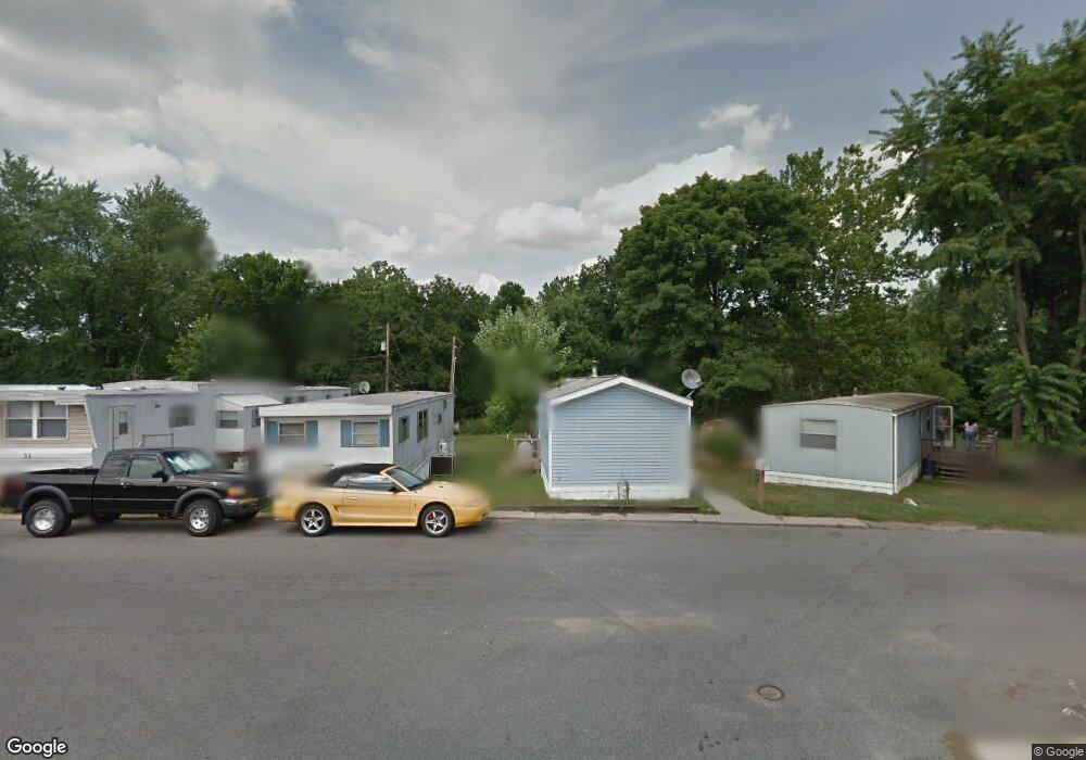
104 Maple St Wilmington, DE 19808
Estimated Value: $56,000 - $94,000
Studio
--
Bath
--
Sq Ft
5,663
Sq Ft Lot
About This Home
This home is located at 104 Maple St, Wilmington, DE 19808 and is currently estimated at $75,000. 104 Maple St is a home located in New Castle County with nearby schools including Mount Pleasant Elementary School, Pierre S. Dupont Middle School, and Mount Pleasant High School.
Ownership History
Date
Name
Owned For
Owner Type
Purchase Details
Closed on
Jan 10, 2019
Sold by
Solge John J
Bought by
Solge John J and Solge Penny R
Current Estimated Value
Home Financials for this Owner
Home Financials are based on the most recent Mortgage that was taken out on this home.
Original Mortgage
$210,000
Interest Rate
4.3%
Mortgage Type
New Conventional
Purchase Details
Closed on
Jun 2, 2003
Sold by
Solge John J and Solge Patricia
Bought by
Solge John J
Home Financials for this Owner
Home Financials are based on the most recent Mortgage that was taken out on this home.
Original Mortgage
$135,000
Interest Rate
5.83%
Mortgage Type
Purchase Money Mortgage
Create a Home Valuation Report for This Property
The Home Valuation Report is an in-depth analysis detailing your home's value as well as a comparison with similar homes in the area
Home Values in the Area
Average Home Value in this Area
Purchase History
| Date | Buyer | Sale Price | Title Company |
|---|---|---|---|
| Solge John J | -- | Fidelity National Ttl Group | |
| Solge John J | -- | -- |
Source: Public Records
Mortgage History
| Date | Status | Borrower | Loan Amount |
|---|---|---|---|
| Closed | Solge John J | $210,000 | |
| Closed | Solge John J | $135,000 |
Source: Public Records
Tax History
| Year | Tax Paid | Tax Assessment Tax Assessment Total Assessment is a certain percentage of the fair market value that is determined by local assessors to be the total taxable value of land and additions on the property. | Land | Improvement |
|---|---|---|---|---|
| 2024 | $418 | $10,700 | $10,700 | -- |
| 2023 | $383 | $10,700 | $10,700 | $0 |
| 2022 | $387 | $10,700 | $10,700 | $0 |
| 2021 | $387 | $10,700 | $10,700 | $0 |
| 2020 | $113 | $10,700 | $10,700 | $0 |
| 2019 | $0 | $10,700 | $10,700 | $0 |
| 2018 | $370 | $10,700 | $10,700 | $0 |
| 2017 | $365 | $10,700 | $10,700 | $0 |
| 2016 | $364 | $10,700 | $10,700 | $0 |
| 2015 | -- | $10,700 | $10,700 | $0 |
| 2014 | -- | $10,700 | $10,700 | $0 |
Source: Public Records
Map
Nearby Homes
- 402 Grove Ave
- 408 Marsh Rd
- 512 Lennox Rd
- 518 Lennox Rd
- 405 Hillcrest Ave
- 910 Marion Ave
- 208 Philadelphia Pike
- 210 Edgewood Dr
- 213 Philadelphia Pike
- 9 Wier Ave
- 3 Ridgewood Cir
- 47 N Pennewell Dr
- 302 River Rd Unit D8
- 26 S Pennewell Dr
- 1108 Prospect Ave
- 21 N Rodney Dr
- 10 Brandywine Blvd
- 12 N Rodney Dr
- 2212 Heather Ct Unit 2212
- 2112 Heather Ct
- 108 Maple Ave
- 101 Rodman Rd
- 500 Springhill Ave
- 103 Rodman Rd
- 9 Rodman Rd
- 505 Springhill Ave
- 701 Woodside Ave
- 7 Rodman Rd Unit 3
- 7 Rodman Rd Unit 4
- 7 Rodman Rd
- 105 Rodman Rd
- 507 Springhill Ave
- 502 Springhill Ave
- 703 Woodside Ave
- 509 Springhill Ave
- 200 Maple Ave
- 206 Maple Ave
- 206 Maple Ave
- 504 Springhill Ave
- 705 Woodside Ave
Your Personal Tour Guide
Ask me questions while you tour the home.