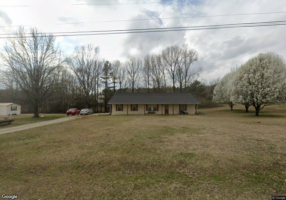
104 Max Ln Pontotoc, MS 38863
Estimated Value: $149,037 - $193,000
3
Beds
2
Baths
1,385
Sq Ft
$124/Sq Ft
Est. Value
About This Home
This home is located at 104 Max Ln, Pontotoc, MS 38863 and is currently estimated at $172,259, approximately $124 per square foot. 104 Max Ln is a home located in Pontotoc County.
Ownership History
Date
Name
Owned For
Owner Type
Purchase Details
Closed on
Apr 27, 2017
Sold by
Scott Brandon
Bought by
Heatherly Ginger and Heatherly Derek
Current Estimated Value
Home Financials for this Owner
Home Financials are based on the most recent Mortgage that was taken out on this home.
Original Mortgage
$121,262
Outstanding Balance
$101,663
Interest Rate
4.4%
Mortgage Type
FHA
Estimated Equity
$70,596
Purchase Details
Closed on
Mar 20, 2014
Sold by
Oz Investments Llc
Bought by
Scott Brandon Lee
Home Financials for this Owner
Home Financials are based on the most recent Mortgage that was taken out on this home.
Original Mortgage
$108,498
Interest Rate
3.75%
Mortgage Type
FHA
Create a Home Valuation Report for This Property
The Home Valuation Report is an in-depth analysis detailing your home's value as well as a comparison with similar homes in the area
Home Values in the Area
Average Home Value in this Area
Purchase History
| Date | Buyer | Sale Price | Title Company |
|---|---|---|---|
| Heatherly Ginger | -- | -- | |
| Scott Brandon Lee | -- | -- |
Source: Public Records
Mortgage History
| Date | Status | Borrower | Loan Amount |
|---|---|---|---|
| Open | Heatherly Ginger | $121,262 | |
| Previous Owner | Scott Brandon Lee | $3,254 | |
| Previous Owner | Scott Brandon Lee | $108,498 |
Source: Public Records
Tax History Compared to Growth
Tax History
| Year | Tax Paid | Tax Assessment Tax Assessment Total Assessment is a certain percentage of the fair market value that is determined by local assessors to be the total taxable value of land and additions on the property. | Land | Improvement |
|---|---|---|---|---|
| 2024 | $1,141 | $8,923 | $0 | $0 |
| 2023 | $1,141 | $8,923 | $0 | $0 |
| 2022 | $727 | $8,034 | $0 | $0 |
| 2021 | $727 | $8,034 | $0 | $0 |
| 2020 | $1,027 | $8,034 | $0 | $0 |
| 2019 | $700 | $8,012 | $0 | $0 |
| 2018 | $637 | $7,508 | $0 | $0 |
| 2017 | $658 | $7,508 | $0 | $0 |
| 2016 | $658 | $7,508 | $0 | $0 |
| 2015 | -- | $11,379 | $0 | $0 |
| 2014 | -- | $7,586 | $0 | $0 |
Source: Public Records
Map
Nearby Homes
- 44.36 ac City Ave N
- 438 W Reynolds St
- 0 Mississippi 336
- 271 Poyner St
- 332 Greenwood St
- 231 Greenbriar Cir
- 122 N Columbia St
- 0.51 Ac Magnolia Cir S
- 605 County Road 442
- 3970 Old Airport Rd
- 172 Coffee St
- 294 Hillcrest Dr
- 270 Hillcrest Dr
- 0 0 Tallant Lane (16 6 Ac)
- 185 W Oxford St
- 181 W 8th St
- 0 Tallant Ln
- 134 S College St
- 535 Beulah Grove Rd
- 369 Pineridge Dr