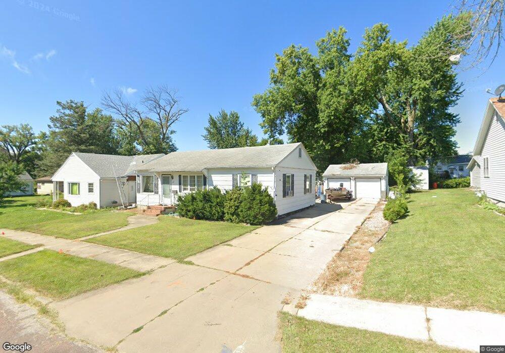
104 N 19th St Marshalltown, IA 50158
Estimated Value: $147,000 - $161,000
2
Beds
3
Baths
1,560
Sq Ft
$100/Sq Ft
Est. Value
About This Home
This home is located at 104 N 19th St, Marshalltown, IA 50158 and is currently estimated at $156,496, approximately $100 per square foot. 104 N 19th St is a home located in Marshall County with nearby schools including Franklin Elementary School, B.R. Miller Middle School, and Marshalltown High School.
Ownership History
Date
Name
Owned For
Owner Type
Purchase Details
Closed on
Nov 17, 2014
Sold by
Matson Candice
Bought by
Matson Chad
Current Estimated Value
Purchase Details
Closed on
Aug 2, 2006
Sold by
Mcclurg Betty M
Bought by
Matson Wililiam E and Matson Sallee D
Home Financials for this Owner
Home Financials are based on the most recent Mortgage that was taken out on this home.
Original Mortgage
$45,000
Interest Rate
6.82%
Mortgage Type
New Conventional
Create a Home Valuation Report for This Property
The Home Valuation Report is an in-depth analysis detailing your home's value as well as a comparison with similar homes in the area
Home Values in the Area
Average Home Value in this Area
Purchase History
| Date | Buyer | Sale Price | Title Company |
|---|---|---|---|
| Matson Chad | -- | None Available | |
| Matson Wililiam E | $95,000 | None Available |
Source: Public Records
Mortgage History
| Date | Status | Borrower | Loan Amount |
|---|---|---|---|
| Closed | Matson Wililiam E | $45,000 |
Source: Public Records
Tax History Compared to Growth
Tax History
| Year | Tax Paid | Tax Assessment Tax Assessment Total Assessment is a certain percentage of the fair market value that is determined by local assessors to be the total taxable value of land and additions on the property. | Land | Improvement |
|---|---|---|---|---|
| 2025 | $2,256 | $144,390 | $20,820 | $123,570 |
| 2024 | $2,256 | $116,780 | $20,820 | $95,960 |
| 2023 | $2,562 | $116,780 | $20,820 | $95,960 |
| 2022 | $2,594 | $114,490 | $12,080 | $102,410 |
| 2021 | $2,514 | $114,490 | $12,080 | $102,410 |
| 2020 | $2,513 | $106,640 | $12,080 | $94,560 |
Source: Public Records
Map
Nearby Homes
- 1701 W Main St
- 1511 W State St
- 1518 W Main St
- 310 Sugar Plum Place
- 1501 Summit St
- 1516 Kalsem Blvd
- 1402 W Main St
- 10 N 14th St
- 8 N 14th St
- 2604 Hilltop Dr
- 1007 E Southridge Rd
- 502 Brentwood Rd
- 1208 W State St
- 12 N 12th St
- 1208 W Linn St
- 1116 W Main St
- 2502 Reyclif Dr
- 1404 W State St
- 503 Reynolds Rd
- 1008 W Church St