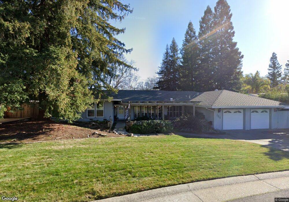
104 Oak Rock Cir Folsom, CA 95630
American River Canyon NeighborhoodEstimated Value: $794,102 - $930,000
4
Beds
3
Baths
2,533
Sq Ft
$330/Sq Ft
Est. Value
About This Home
This home is located at 104 Oak Rock Cir, Folsom, CA 95630 and is currently estimated at $835,776, approximately $329 per square foot. 104 Oak Rock Cir is a home located in Sacramento County with nearby schools including Ottomon Way Elementary School, Louis Pasteur Fundamental Middle School, and Casa Roble Fundamental High School.
Ownership History
Date
Name
Owned For
Owner Type
Purchase Details
Closed on
Jan 3, 2024
Sold by
Busath Stuart and Busath Susan
Bought by
Busath Family Trust and Busath
Current Estimated Value
Purchase Details
Closed on
Jul 15, 2003
Sold by
Wilbourn John W and Wilbourn Barbara Sue
Bought by
Busath Stuart and Busath Susan
Purchase Details
Closed on
Nov 8, 1993
Sold by
Wilbourn John W and Wilbourn Barbara Sue
Bought by
Wilbourn John W and Wilbourn Barbara Sue
Create a Home Valuation Report for This Property
The Home Valuation Report is an in-depth analysis detailing your home's value as well as a comparison with similar homes in the area
Home Values in the Area
Average Home Value in this Area
Purchase History
| Date | Buyer | Sale Price | Title Company |
|---|---|---|---|
| Busath Family Trust | -- | None Listed On Document | |
| Busath Stuart | -- | First American Title Company | |
| Wilbourn John W | -- | -- |
Source: Public Records
Tax History Compared to Growth
Tax History
| Year | Tax Paid | Tax Assessment Tax Assessment Total Assessment is a certain percentage of the fair market value that is determined by local assessors to be the total taxable value of land and additions on the property. | Land | Improvement |
|---|---|---|---|---|
| 2025 | $4,589 | $397,313 | $66,592 | $330,721 |
| 2024 | $4,589 | $389,524 | $65,287 | $324,237 |
| 2023 | $4,470 | $381,887 | $64,007 | $317,880 |
| 2022 | $4,445 | $374,400 | $62,752 | $311,648 |
| 2021 | $4,370 | $367,060 | $61,522 | $305,538 |
| 2020 | $4,287 | $363,298 | $60,892 | $302,406 |
| 2019 | $4,199 | $356,176 | $59,699 | $296,477 |
| 2018 | $4,149 | $349,193 | $58,529 | $290,664 |
| 2017 | $4,106 | $342,347 | $57,382 | $284,965 |
| 2016 | $3,857 | $335,635 | $56,257 | $279,378 |
| 2015 | $3,806 | $330,594 | $55,412 | $275,182 |
| 2014 | $3,728 | $324,119 | $54,327 | $269,792 |
Source: Public Records
Map
Nearby Homes
- 203 Crow Canyon Dr
- 103 S Fork Way
- 1122 River Rock Dr
- 116 Raeanne Ln
- 6412 Benning St Unit 4A
- 6412 Benning St Unit 12B
- 6412 Benning St Unit 5B
- 224 Oak Canyon Way
- 6480 Main St Unit 32
- 6013 Keats Cir
- 6132 Main Ave Unit 28
- 9340 Orangevale Ave Unit 19
- 9340 Orangevale Ave Unit 25
- 9340 Orangevale Ave Unit 36
- 106 Oak Rim Way
- 119 Del Norte Vista Way
- 900 Figueroa St Unit B
- 9487 Dalton Way
- 7314 Santa Juanita Ave
- 5947 Main Ave Unit A
- 102 Oak Rock Cir
- 106 Oak Rock Cir
- 109 Oak Rock Cir
- 100 Oak Rock Cir
- 108 Granite Creek Ln
- 108 Oak Rock Cir
- 104 Granite Creek Ln
- 112 Granite Creek Ln
- 105 Oak Rock Cir
- 116 Morning Dove Ln
- 100 Granite Creek Ln
- 113 Oak Rock Cir
- 101 Oak Rock Cir
- 108 Pheasant Ln
- 112 Morning Dove Ln
- 112 Pheasant Ln
- 277 Winding Canyon Ln Unit L
- 148 Oak Rock Cir
- 104 Pheasant Ln
- 120 Morning Dove Ln