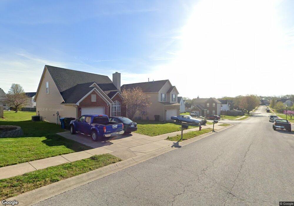
104 Ransom Trace Georgetown, KY 40324
Bradford Place NeighborhoodEstimated Value: $269,000 - $303,142
3
Beds
3
Baths
1,472
Sq Ft
$193/Sq Ft
Est. Value
About This Home
This home is located at 104 Ransom Trace, Georgetown, KY 40324 and is currently estimated at $284,286, approximately $193 per square foot. 104 Ransom Trace is a home located in Scott County with nearby schools including Southern Elementary School, Georgetown Middle School, and Scott County High School.
Ownership History
Date
Name
Owned For
Owner Type
Purchase Details
Closed on
Sep 8, 2025
Sold by
King Nina Victoria and Lay Nina Victoria
Bought by
King Brandon Mark
Current Estimated Value
Purchase Details
Closed on
Oct 28, 2019
Sold by
Denis Raegan St and Ladenburger Derek Allen
Bought by
King Brandon and Lay Nina
Home Financials for this Owner
Home Financials are based on the most recent Mortgage that was taken out on this home.
Original Mortgage
$160,050
Interest Rate
3.37%
Mortgage Type
New Conventional
Purchase Details
Closed on
Apr 24, 2015
Sold by
Paige Jeremy R and Paige Alissa
Bought by
Paige Raegan A
Purchase Details
Closed on
Jan 27, 2010
Sold by
Solace Mitchell A and Solace Jade R
Bought by
Paige Raegan A and Paige Jeremy R
Home Financials for this Owner
Home Financials are based on the most recent Mortgage that was taken out on this home.
Original Mortgage
$134,300
Interest Rate
4.94%
Mortgage Type
New Conventional
Create a Home Valuation Report for This Property
The Home Valuation Report is an in-depth analysis detailing your home's value as well as a comparison with similar homes in the area
Home Values in the Area
Average Home Value in this Area
Purchase History
| Date | Buyer | Sale Price | Title Company |
|---|---|---|---|
| King Brandon Mark | -- | None Listed On Document | |
| King Brandon | $165,000 | None Available | |
| Paige Raegan A | -- | Attorney | |
| Paige Raegan A | $131,700 | None Available |
Source: Public Records
Mortgage History
| Date | Status | Borrower | Loan Amount |
|---|---|---|---|
| Previous Owner | King Brandon | $160,050 | |
| Previous Owner | Paige Raegan A | $134,300 |
Source: Public Records
Tax History
| Year | Tax Paid | Tax Assessment Tax Assessment Total Assessment is a certain percentage of the fair market value that is determined by local assessors to be the total taxable value of land and additions on the property. | Land | Improvement |
|---|---|---|---|---|
| 2025 | $2,008 | $225,400 | $0 | $0 |
| 2024 | $1,964 | $218,400 | $0 | $0 |
| 2023 | $1,890 | $208,400 | $35,000 | $173,400 |
| 2022 | $1,554 | $182,800 | $30,000 | $152,800 |
| 2021 | $1,569 | $166,600 | $30,000 | $136,600 |
| 2020 | $1,418 | $165,000 | $30,000 | $135,000 |
| 2019 | $1,300 | $148,900 | $0 | $0 |
| 2018 | $1,254 | $144,500 | $0 | $0 |
| 2017 | $1,221 | $140,040 | $0 | $0 |
| 2016 | $1,092 | $135,624 | $0 | $0 |
| 2015 | $1,046 | $130,700 | $0 | $0 |
| 2014 | $1,084 | $130,700 | $0 | $0 |
| 2011 | $82 | $131,700 | $0 | $0 |
Source: Public Records
Map
Nearby Homes
- 106 Ransom Trace
- 115 Victor Place
- 118 Chamberlain Dr
- 134 Hemingway Place
- 1026 Parkside Dr
- 106 Capella Way
- 138 Magellan Ln
- 1003 Parkside Dr
- 140 Magellan Ln
- 144 Magellan Ln
- 152 Magellan Ln
- 105 Crescent Way
- 109 Crescent Way
- 111 Crescent Way
- 113 Crescent Way
- 117 Crescent Way
- 119 Crescent Way
- 121 Crescent Way
- 116 Crescent Way
- 107 Crescent Way
- 108 Ransom Trace
- 101 Lovett Park
- 103 Lovett Park
- 124 Warren Pass
- 126 Warren Pass
- 122 Warren Pass
- 110 Ransom Trace
- 0 Warren Pass
- 105 Lovett Park
- 120 Warren Pass
- 105 Ransom Trace
- 107 Ransom Trace
- 109 Ransom Trace
- 112 Ransom Trace
- 118 Warren Pass
- 107 Lovett Park
- 111 Ransom Trace
- 130 Warren Pass
- 116 Warren Pass
- 114 Ransom Trace
Your Personal Tour Guide
Ask me questions while you tour the home.